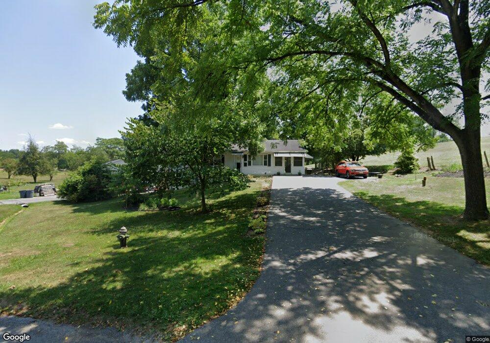
13157 Kaiser Ridge Rd Hagerstown, MD 21740
Estimated Value: $252,570 - $304,000
--
Bed
1
Bath
1,000
Sq Ft
$272/Sq Ft
Est. Value
About This Home
This home is located at 13157 Kaiser Ridge Rd, Hagerstown, MD 21740 and is currently estimated at $272,393, approximately $272 per square foot. 13157 Kaiser Ridge Rd is a home located in Washington County with nearby schools including Maugansville Elementary School, Clear Spring Middle School, and Clear Spring High School.
Ownership History
Date
Name
Owned For
Owner Type
Purchase Details
Closed on
Nov 14, 2007
Sold by
Leisinger Mildred P
Bought by
Lee Leisinger Rhett
Current Estimated Value
Home Financials for this Owner
Home Financials are based on the most recent Mortgage that was taken out on this home.
Original Mortgage
$131,750
Interest Rate
6.41%
Mortgage Type
Purchase Money Mortgage
Purchase Details
Closed on
Nov 1, 2007
Sold by
Leisinger Mildred P
Bought by
Lee Leisinger Rhett
Home Financials for this Owner
Home Financials are based on the most recent Mortgage that was taken out on this home.
Original Mortgage
$131,750
Interest Rate
6.41%
Mortgage Type
Purchase Money Mortgage
Create a Home Valuation Report for This Property
The Home Valuation Report is an in-depth analysis detailing your home's value as well as a comparison with similar homes in the area
Home Values in the Area
Average Home Value in this Area
Purchase History
| Date | Buyer | Sale Price | Title Company |
|---|---|---|---|
| Lee Leisinger Rhett | $155,000 | -- | |
| Lee Leisinger Rhett | $155,000 | -- |
Source: Public Records
Mortgage History
| Date | Status | Borrower | Loan Amount |
|---|---|---|---|
| Closed | Lee Leisinger Rhett | $131,750 | |
| Closed | Lee Leisinger Rhett | $131,750 |
Source: Public Records
Tax History Compared to Growth
Tax History
| Year | Tax Paid | Tax Assessment Tax Assessment Total Assessment is a certain percentage of the fair market value that is determined by local assessors to be the total taxable value of land and additions on the property. | Land | Improvement |
|---|---|---|---|---|
| 2025 | $2,042 | $213,000 | $64,400 | $148,600 |
| 2024 | $2,042 | $197,200 | $0 | $0 |
| 2023 | $1,878 | $181,400 | $0 | $0 |
| 2022 | $1,715 | $165,600 | $64,400 | $101,200 |
| 2021 | $1,729 | $164,700 | $0 | $0 |
| 2020 | $1,729 | $163,800 | $0 | $0 |
| 2019 | $1,727 | $162,900 | $64,400 | $98,500 |
| 2018 | $1,727 | $162,900 | $64,400 | $98,500 |
| 2017 | $1,727 | $162,900 | $0 | $0 |
| 2016 | -- | $165,400 | $0 | $0 |
| 2015 | $1,993 | $165,400 | $0 | $0 |
| 2014 | $1,993 | $165,400 | $0 | $0 |
Source: Public Records
Map
Nearby Homes
- 16115 Spade Rd
- 13124 Greencastle Pike
- 13224 Greencastle Pike
- 12712 Greencastle Pike
- 13726 Hopps Landing Rd
- 16809 Broadfording Rd
- 12810 Kending Ln
- 16822 Broadfording Rd
- 71 Charlotte St
- 17028 Broadfording Rd
- 17030 Broadfording Rd
- 17038 Broadfording Rd
- 16512 National Pike
- 17034 Broadfording Rd
- 14021 Broadfording Church Rd
- 15630 Overview Cir
- 12036 N Scottish Ct
- 12021 Heather Dr
- 12009 S Scottish Ct
- 15149 Bloyers Ave
- 13163 Kaiser Ridge Rd
- 13162 Kaiser Ridge Rd
- 13131 Kaiser Ridge Rd
- 13171 Kaiser Ridge Rd
- 16209 Spade Rd
- 13170 Kaiser Ridge Rd
- 13136 Kaiser Ridge Rd
- 16304 Kaiser Ct
- 16217 Spade Rd
- 16157 Spade Rd
- 16200 Spade Rd
- 16302 Kaiser Ct
- 16151 Spade Rd
- 16204 Spade Rd
- 13127 Kaiser Ridge Rd
- 16160 Spade Rd
- 16214 Spade Rd
- 16218 Spade Rd
- 16312 Kaiser Ct
- 16154 Spade Rd