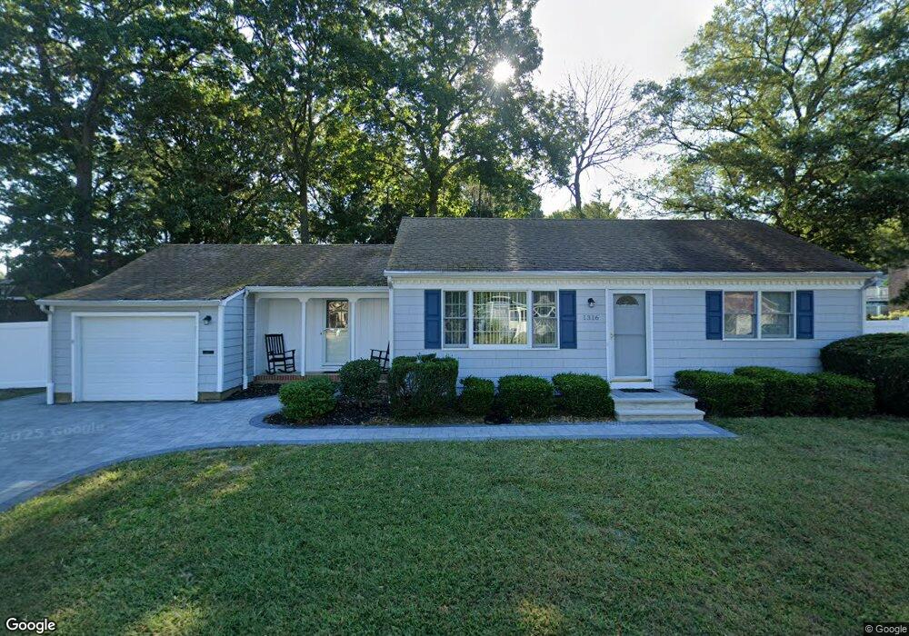
1316 Charles St Point Pleasant Boro, NJ 08742
Estimated Value: $547,000 - $701,000
2
Beds
1
Bath
961
Sq Ft
$620/Sq Ft
Est. Value
About This Home
This home is located at 1316 Charles St, Point Pleasant Boro, NJ 08742 and is currently estimated at $595,509, approximately $619 per square foot. 1316 Charles St is a home located in Ocean County with nearby schools including Point Pleasant High School and St. Peter School.
Ownership History
Date
Name
Owned For
Owner Type
Purchase Details
Closed on
Oct 27, 1999
Sold by
Estate Of Emily Craig and Craig Ernest
Bought by
Easter Stuart Rogers
Current Estimated Value
Home Financials for this Owner
Home Financials are based on the most recent Mortgage that was taken out on this home.
Original Mortgage
$121,500
Outstanding Balance
$37,036
Interest Rate
7.73%
Mortgage Type
Purchase Money Mortgage
Estimated Equity
$558,473
Create a Home Valuation Report for This Property
The Home Valuation Report is an in-depth analysis detailing your home's value as well as a comparison with similar homes in the area
Home Values in the Area
Average Home Value in this Area
Purchase History
| Date | Buyer | Sale Price | Title Company |
|---|---|---|---|
| Easter Stuart Rogers | $135,000 | Counsellors Title Agency Inc |
Source: Public Records
Mortgage History
| Date | Status | Borrower | Loan Amount |
|---|---|---|---|
| Open | Easter Stuart Rogers | $121,500 |
Source: Public Records
Tax History Compared to Growth
Tax History
| Year | Tax Paid | Tax Assessment Tax Assessment Total Assessment is a certain percentage of the fair market value that is determined by local assessors to be the total taxable value of land and additions on the property. | Land | Improvement |
|---|---|---|---|---|
| 2025 | $5,960 | $260,600 | $188,100 | $72,500 |
| 2024 | $5,697 | $260,600 | $188,100 | $72,500 |
| 2023 | $5,579 | $260,600 | $188,100 | $72,500 |
| 2022 | $5,579 | $260,600 | $188,100 | $72,500 |
| 2021 | $5,493 | $260,600 | $188,100 | $72,500 |
| 2020 | $5,436 | $260,600 | $188,100 | $72,500 |
| 2019 | $5,363 | $260,600 | $188,100 | $72,500 |
| 2018 | $5,204 | $260,600 | $188,100 | $72,500 |
| 2017 | $5,090 | $260,600 | $188,100 | $72,500 |
| 2016 | $5,050 | $260,600 | $188,100 | $72,500 |
| 2015 | $4,990 | $260,600 | $188,100 | $72,500 |
| 2014 | $4,876 | $258,400 | $188,100 | $70,300 |
Source: Public Records
Map
Nearby Homes
- 1319 Charles St
- 821 South St
- 1325 Bay Ave
- 1413 George St
- 1501 Hulse Rd Unit 3
- 1501 Hulse Rd Unit 22
- 915 Brooks Rd
- 917 Route 88 Unit 5
- 2119 Foster Rd
- 2121 Foster Rd
- 1215 Johnson Ave
- 709 Howe St
- 230 Bridge Ave
- 803 Beaver Dam Rd
- 713 Beaver Dam Rd
- 2221 Wilson Rd
- 212 Howe St
- 704 Mount Place
- 837 Beaver Dam Rd
- 2001 Veterans Memorial Dr
- 1320 Charles St
- 1312 Charles St
- 1317 Charles St
- 1315 Charles St
- 727 Burnt Tavern Rd
- 731 Burnt Tavern Rd
- 1313 Charles St
- 725 Burnt Tavern Rd
- 815 Burnt Tavern Rd Unit 3
- 815 Burnt Tavern Rd
- 1309 Nersita Dr
- 1311 Charles St
- 1311 Nersita Dr
- 723 Burnt Tavern Rd
- 1308 Charles St
- 1307 Nersita Dr
- 1309 Charles St
- 810 Burnt Tavern Rd
- 1315 Nersita Dr
- 816 Burnt Tavern Rd