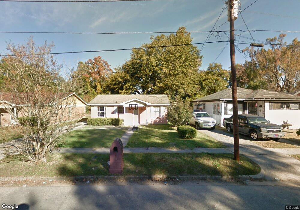
1316 Melrose St Mobile, AL 36605
Baltimore NeighborhoodEstimated Value: $75,442 - $112,000
4
Beds
2
Baths
1,310
Sq Ft
$69/Sq Ft
Est. Value
About This Home
This home is located at 1316 Melrose St, Mobile, AL 36605 and is currently estimated at $90,111, approximately $68 per square foot. 1316 Melrose St is a home located in Mobile County with nearby schools including Erwin Craighead Elementary School, Williamson High School, and Mount Calvary Lutheran School.
Ownership History
Date
Name
Owned For
Owner Type
Purchase Details
Closed on
Aug 4, 2010
Sold by
The Bank Of New York Trust Company N A
Bought by
Precise Realty Llc
Current Estimated Value
Home Financials for this Owner
Home Financials are based on the most recent Mortgage that was taken out on this home.
Original Mortgage
$16,700
Outstanding Balance
$10,944
Interest Rate
4.6%
Mortgage Type
Unknown
Estimated Equity
$79,167
Purchase Details
Closed on
Oct 24, 2008
Sold by
Draine John and Draine Sadie Mae
Bought by
The Bank Of New York Trust Company Na
Create a Home Valuation Report for This Property
The Home Valuation Report is an in-depth analysis detailing your home's value as well as a comparison with similar homes in the area
Home Values in the Area
Average Home Value in this Area
Purchase History
| Date | Buyer | Sale Price | Title Company |
|---|---|---|---|
| Precise Realty Llc | $15,650 | None Available | |
| The Bank Of New York Trust Company Na | $67,120 | None Available |
Source: Public Records
Mortgage History
| Date | Status | Borrower | Loan Amount |
|---|---|---|---|
| Open | Precise Realty Llc | $16,700 |
Source: Public Records
Tax History
| Year | Tax Paid | Tax Assessment Tax Assessment Total Assessment is a certain percentage of the fair market value that is determined by local assessors to be the total taxable value of land and additions on the property. | Land | Improvement |
|---|---|---|---|---|
| 2025 | $601 | $9,300 | $1,600 | $7,700 |
| 2024 | $601 | $8,900 | $1,200 | $7,700 |
| 2023 | $575 | $7,300 | $1,200 | $6,100 |
| 2022 | $531 | $8,360 | $1,440 | $6,920 |
| 2021 | $531 | $8,360 | $1,440 | $6,920 |
| 2020 | $498 | $7,840 | $1,440 | $6,400 |
| 2019 | $494 | $7,780 | $1,440 | $6,340 |
| 2018 | $494 | $7,780 | $0 | $0 |
| 2017 | $491 | $7,740 | $0 | $0 |
| 2016 | $634 | $9,980 | $0 | $0 |
| 2013 | $676 | $10,360 | $0 | $0 |
Source: Public Records
Map
Nearby Homes
- 1308 Bay Ave
- 1254 Seneca St
- 1464 Douglas St
- 1160 Cottrell St
- 1350 Stewart Ave
- 1113 Kelly St
- 1155 Baltimore St
- 1109 Preston Ave
- 1068 Arlington St
- 1564 Forrest St
- 560 Michigan Ave
- 1611 Forrest St
- 1712 Waterford St
- 1300 Illinois St
- 1666 Van Dorn St
- 1561 Illinois St
- 510 Dexter Ave
- 1105 Marine St
- 1457 Houston St
- 956 Weinacker Ave
Your Personal Tour Guide
Ask me questions while you tour the home.