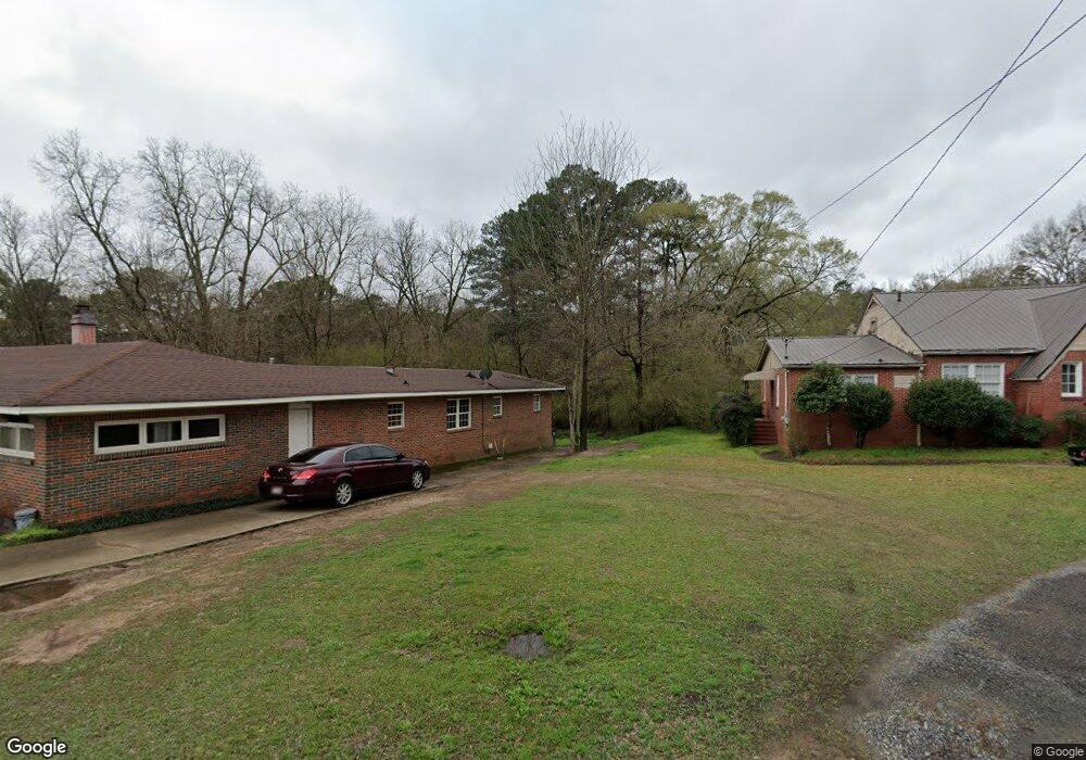
1316 Pratt Hwy Birmingham, AL 35214
Estimated Value: $128,000 - $202,000
--
Bed
1
Bath
2,210
Sq Ft
$77/Sq Ft
Est. Value
About This Home
This home is located at 1316 Pratt Hwy, Birmingham, AL 35214 and is currently estimated at $170,220, approximately $77 per square foot. 1316 Pratt Hwy is a home located in Jefferson County with nearby schools including Minor Community School, Minor Middle School, and Minor High School.
Ownership History
Date
Name
Owned For
Owner Type
Purchase Details
Closed on
May 17, 2021
Sold by
Forestdale Fire District
Bought by
Brown Bernard
Current Estimated Value
Purchase Details
Closed on
Apr 19, 2002
Sold by
Pate Roy Clayton and Pate Mollie M
Bought by
Capps Byron and Capps Christy M
Home Financials for this Owner
Home Financials are based on the most recent Mortgage that was taken out on this home.
Original Mortgage
$78,764
Interest Rate
7.07%
Mortgage Type
FHA
Create a Home Valuation Report for This Property
The Home Valuation Report is an in-depth analysis detailing your home's value as well as a comparison with similar homes in the area
Home Values in the Area
Average Home Value in this Area
Purchase History
| Date | Buyer | Sale Price | Title Company |
|---|---|---|---|
| Brown Bernard | $1,639 | -- | |
| Capps Byron | $80,000 | Cahaba Title Inc |
Source: Public Records
Mortgage History
| Date | Status | Borrower | Loan Amount |
|---|---|---|---|
| Previous Owner | Capps Byron | $78,764 |
Source: Public Records
Tax History Compared to Growth
Tax History
| Year | Tax Paid | Tax Assessment Tax Assessment Total Assessment is a certain percentage of the fair market value that is determined by local assessors to be the total taxable value of land and additions on the property. | Land | Improvement |
|---|---|---|---|---|
| 2024 | $1,699 | $33,920 | -- | -- |
| 2022 | $1,566 | $31,260 | $940 | $30,320 |
| 2021 | $1,124 | $22,440 | $940 | $21,500 |
| 2020 | $1,124 | $22,440 | $940 | $21,500 |
| 2019 | $1,124 | $22,440 | $0 | $0 |
| 2018 | $784 | $15,640 | $0 | $0 |
| 2017 | $784 | $15,640 | $0 | $0 |
| 2016 | $784 | $15,640 | $0 | $0 |
| 2015 | $784 | $15,640 | $0 | $0 |
| 2014 | $864 | $15,080 | $0 | $0 |
| 2013 | $864 | $15,080 | $0 | $0 |
Source: Public Records
Map
Nearby Homes
- 1024 Melody Dr Unit 1
- 1128 Skyline Dr
- 541 Telford Ln
- 528 Blue Bell Rd
- 705 Rushway Ln
- 1415 Pratt Hwy
- 900 Hide Away Dr
- 1142 Oakley Dr
- 424 Robin Rd
- 1344 Haven Dr
- 1457 Pratt Hwy
- 1345 Haven Dr
- 1020 Pratt Hwy
- 1024 Heflin Ave W
- 1029 Heflin Ave W
- 739 Kenwood Dr
- 808 Ozark Ave
- 1133 Devine Dr
- 711 Oak Ridge Dr
- 1401 Heflin Ave W