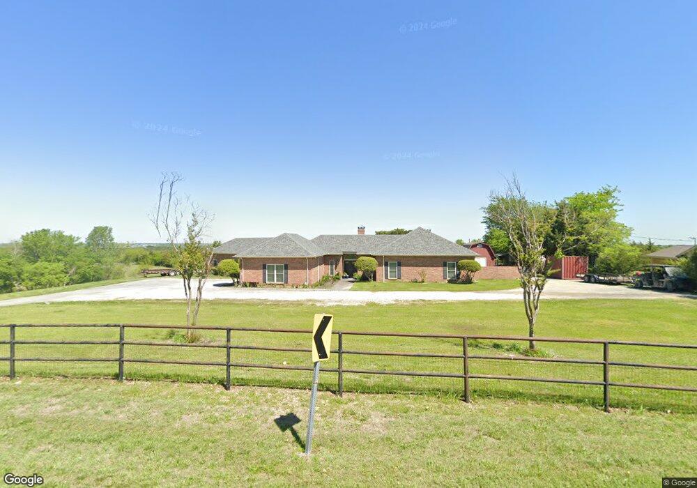
1316 Tate Cir Sherman, TX 75090
Estimated Value: $849,288 - $1,072,000
3
Beds
3
Baths
3,025
Sq Ft
$318/Sq Ft
Est. Value
About This Home
This home is located at 1316 Tate Cir, Sherman, TX 75090 and is currently estimated at $960,644, approximately $317 per square foot. 1316 Tate Cir is a home located in Grayson County with nearby schools including Summit Hill Elementary School, Howe Middle School, and Howe High School.
Ownership History
Date
Name
Owned For
Owner Type
Purchase Details
Closed on
May 15, 2017
Sold by
Sweet Lorna L and Kendall Lorna
Bought by
Culp Emily Stacy and Culp Heath Eric
Current Estimated Value
Home Financials for this Owner
Home Financials are based on the most recent Mortgage that was taken out on this home.
Original Mortgage
$424,100
Outstanding Balance
$353,078
Interest Rate
4.14%
Mortgage Type
New Conventional
Estimated Equity
$607,566
Purchase Details
Closed on
Aug 27, 2009
Sold by
Glass Randal D and Glass Nancy
Bought by
Sweet Lorna L
Home Financials for this Owner
Home Financials are based on the most recent Mortgage that was taken out on this home.
Original Mortgage
$250,000
Interest Rate
5.16%
Mortgage Type
New Conventional
Purchase Details
Closed on
Sep 20, 2004
Sold by
Glass Jenny L
Bought by
Glass Randal D
Home Financials for this Owner
Home Financials are based on the most recent Mortgage that was taken out on this home.
Original Mortgage
$165,650
Interest Rate
5.73%
Mortgage Type
Purchase Money Mortgage
Create a Home Valuation Report for This Property
The Home Valuation Report is an in-depth analysis detailing your home's value as well as a comparison with similar homes in the area
Home Values in the Area
Average Home Value in this Area
Purchase History
| Date | Buyer | Sale Price | Title Company |
|---|---|---|---|
| Culp Emily Stacy | -- | Red River Title Co | |
| Sweet Lorna L | -- | Red River Title Co | |
| Glass Randal D | -- | -- |
Source: Public Records
Mortgage History
| Date | Status | Borrower | Loan Amount |
|---|---|---|---|
| Open | Culp Emily Stacy | $424,100 | |
| Previous Owner | Sweet Lorna L | $250,000 | |
| Previous Owner | Glass Randal D | $165,650 |
Source: Public Records
Tax History Compared to Growth
Tax History
| Year | Tax Paid | Tax Assessment Tax Assessment Total Assessment is a certain percentage of the fair market value that is determined by local assessors to be the total taxable value of land and additions on the property. | Land | Improvement |
|---|---|---|---|---|
| 2025 | $5,738 | $549,328 | $13,710 | $535,618 |
| 2024 | $7,261 | $484,127 | $0 | $0 |
| 2023 | $5,276 | $440,184 | $0 | $0 |
| 2022 | $6,906 | $400,190 | $0 | $0 |
| 2021 | $7,009 | $363,889 | $5,951 | $357,938 |
| 2020 | $6,666 | $328,157 | $5,742 | $322,415 |
| 2019 | $7,277 | $334,623 | $4,926 | $329,697 |
| 2018 | $6,767 | $331,326 | $4,000 | $327,326 |
| 2017 | $5,275 | $255,291 | $4,166 | $251,125 |
| 2016 | $5,201 | $251,733 | $2,961 | $248,772 |
| 2015 | $4,553 | $242,051 | $2,951 | $239,100 |
| 2014 | $4,861 | $249,466 | $2,206 | $247,260 |
Source: Public Records
Map
Nearby Homes
- 57 Lonesome Dove Dr
- 320 Tate Cir
- 262 Samuel
- TBA Bennett Rd
- 992 Bennett Rd
- 204 Tate Cir
- Tbd Bennett Rd
- 942 Bennett Rd
- 00 Akers Rd
- Tbd Bennett Rd
- 2554 Bennett Rd
- 90 Williams Trail
- 341 Stark Ln
- 516 Stark Ln
- 3183 Harrell Rd
- 3223 Harrell Rd
- 502 Ponderosa Rd
- 1187 Harrell Rd
- 1265 Harrell Rd
- 259 Schneider Rd