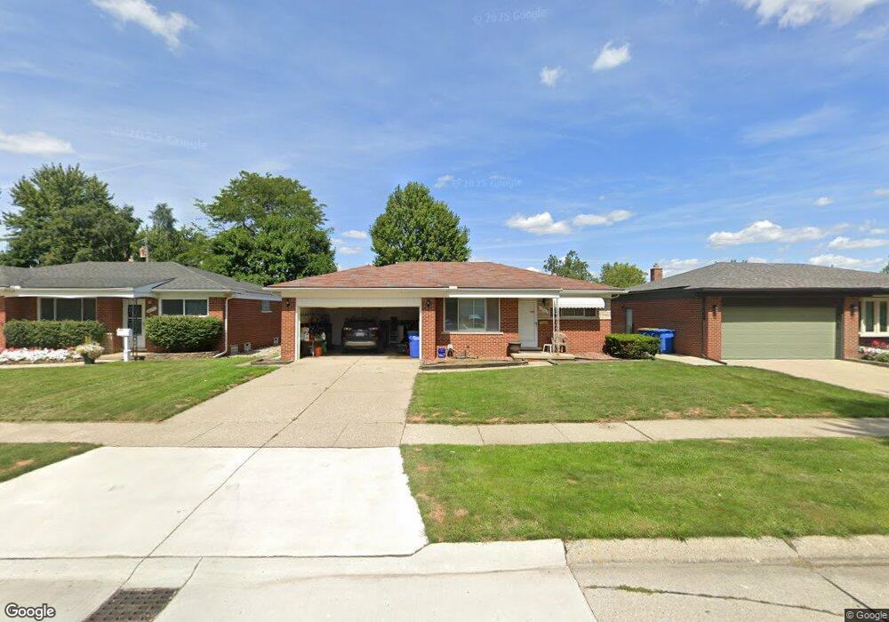
13167 Walter Ave Warren, MI 48088
Northeast Warren NeighborhoodEstimated Value: $233,148 - $249,000
3
Beds
2
Baths
1,101
Sq Ft
$218/Sq Ft
Est. Value
About This Home
This home is located at 13167 Walter Ave, Warren, MI 48088 and is currently estimated at $239,537, approximately $217 per square foot. 13167 Walter Ave is a home located in Macomb County with nearby schools including Warren Woods Tower High School, Frontier International Academy Elementary, and Warren Woods Christian School.
Ownership History
Date
Name
Owned For
Owner Type
Purchase Details
Closed on
Jan 8, 2015
Sold by
Federal Home Loan Mortgage Corporation
Bought by
Holso Joseph J
Current Estimated Value
Purchase Details
Closed on
Dec 6, 2013
Sold by
Zak Malgorzata G
Bought by
Federal Home Loan Mortgage Corporation
Purchase Details
Closed on
Nov 16, 2000
Sold by
Dordeski Danuta
Bought by
Zak Malgorzata G
Home Financials for this Owner
Home Financials are based on the most recent Mortgage that was taken out on this home.
Original Mortgage
$120,000
Interest Rate
7.7%
Mortgage Type
Purchase Money Mortgage
Purchase Details
Closed on
Aug 31, 1998
Sold by
Tactac Donna M
Bought by
Zak Danuta
Create a Home Valuation Report for This Property
The Home Valuation Report is an in-depth analysis detailing your home's value as well as a comparison with similar homes in the area
Home Values in the Area
Average Home Value in this Area
Purchase History
| Date | Buyer | Sale Price | Title Company |
|---|---|---|---|
| Holso Joseph J | $113,000 | None Available | |
| Federal Home Loan Mortgage Corporation | $97,000 | None Available | |
| Zak Malgorzata G | $151,000 | -- | |
| Zak Danuta | $125,500 | -- |
Source: Public Records
Mortgage History
| Date | Status | Borrower | Loan Amount |
|---|---|---|---|
| Previous Owner | Zak Malgorzata G | $120,000 |
Source: Public Records
Tax History
| Year | Tax Paid | Tax Assessment Tax Assessment Total Assessment is a certain percentage of the fair market value that is determined by local assessors to be the total taxable value of land and additions on the property. | Land | Improvement |
|---|---|---|---|---|
| 2025 | $3,291 | $110,830 | $0 | $0 |
| 2024 | $32 | $100,540 | $0 | $0 |
| 2023 | $3,034 | $97,020 | $0 | $0 |
| 2022 | $2,975 | $84,770 | $0 | $0 |
| 2021 | $2,919 | $77,490 | $0 | $0 |
| 2020 | $2,797 | $73,450 | $0 | $0 |
| 2019 | $2,672 | $70,220 | $0 | $0 |
| 2018 | $2,699 | $55,130 | $0 | $0 |
| 2017 | $2,553 | $49,560 | $9,920 | $39,640 |
| 2016 | $2,533 | $49,560 | $0 | $0 |
| 2015 | -- | $45,250 | $0 | $0 |
| 2012 | -- | $43,290 | $0 | $0 |
Source: Public Records
Map
Nearby Homes
- 29649 Dover Ave
- 30032 Iroquois Dr
- 30045 Iroquois Dr
- 29820 Palomino Dr
- 12531 Common Rd
- 29143 Dover Ave
- 54765 Palomino Ave
- 30806 Ridgefield Ave
- 30829 Eiffel Ave
- 29454 Scarborough Dr Unit 7
- 13019 Stanley Dr
- 29766 Wagner Ave
- 29316 Roan Ave
- 29337 Roan Dr
- 29366 Wagner Dr
- 29105 Palomino Dr
- 13209 E 13 Mile Rd
- 14066 Castle Ave
- 13430 Dominic Dr
- 29134 Bonnie Dr
- 13209 Walter Ave
- 13155 Walter Ave
- 13221 Walter Ave
- 13139 Walter Ave
- 13170 Common Rd
- 13206 Common Rd
- 13158 Common Rd
- 13233 Walter Ave
- 13218 Common Rd
- 13127 Walter Ave
- 13146 Common Rd
- 13170 Walter Ave
- 13230 Common Rd
- 13214 Walter Ave
- 13156 Walter Ave
- 13245 Walter Ave
- 13134 Walter Ave
- 13134 Common Rd
- 13226 Walter Ave
- 13242 Common Rd
Your Personal Tour Guide
Ask me questions while you tour the home.