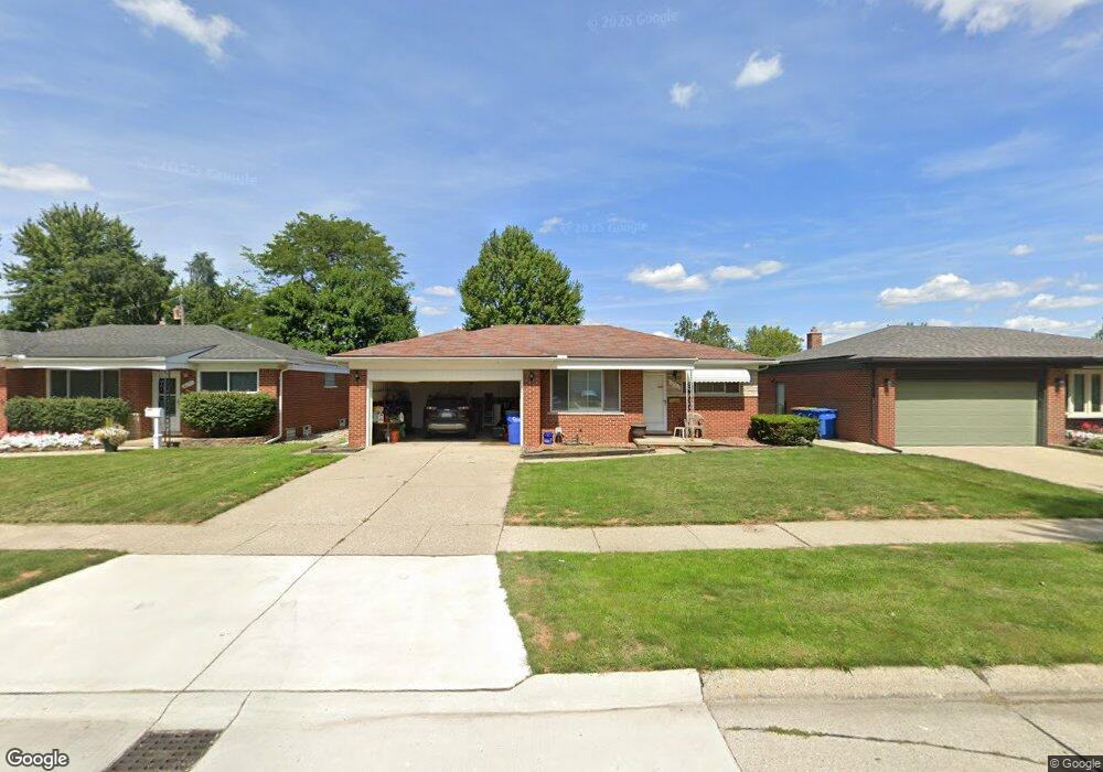
13167 Walter Ave Warren, MI 48088
Northeast Warren NeighborhoodEstimated Value: $237,000 - $247,000
About This Home
This home is located at 13167 Walter Ave, Warren, MI 48088 and is currently estimated at $241,043, approximately $218 per square foot. 13167 Walter Ave is a home located in Macomb County with nearby schools including Warren Woods Tower High School, Frontier International Academy Elementary, and Warren Woods Christian School.
Ownership History
We collect this data history from publicly available records. To have your information removed, we recommend requesting removal directly through your county’s website.
Purchase Details
Purchase Details
Purchase Details
Home Financials for this Owner
Home Financials are based on the most recent Mortgage that was taken out on this home.Purchase Details
Home Values in the Area
Average Home Value in this Area
Purchase History
We collect this data history from publicly available records. To have your information removed, we recommend requesting removal directly through your county’s website.
| Date | Buyer | Sale Price | Title Company |
|---|---|---|---|
| $113,000 | None Available | ||
| $97,000 | None Available | ||
| $151,000 | -- | ||
| $125,500 | -- |
Mortgage History
We collect this data history from publicly available records. To have your information removed, we recommend requesting removal directly through your county’s website.
| Date | Status | Borrower | Loan Amount |
|---|---|---|---|
| Previous Owner | $120,000 |
Tax History
We collect this data history from publicly available records. To have your information removed, we recommend requesting removal directly through your county’s website.
| Year | Tax Paid | Tax Assessment Tax Assessment Total Assessment is a certain percentage of the fair market value that is determined by local assessors to be the total taxable value of land and additions on the property. | Land | Improvement |
|---|---|---|---|---|
| 2025 | $3,291 | $110,830 | $0 | $0 |
| 2024 | $32 | $100,540 | $0 | $0 |
| 2023 | $3,034 | $97,020 | $0 | $0 |
| 2022 | $2,975 | $84,770 | $0 | $0 |
| 2021 | $2,919 | $77,490 | $0 | $0 |
| 2020 | $2,797 | $73,450 | $0 | $0 |
| 2019 | $2,672 | $70,220 | $0 | $0 |
| 2018 | $2,699 | $55,130 | $0 | $0 |
| 2017 | $2,553 | $49,560 | $9,920 | $39,640 |
| 2016 | $2,533 | $49,560 | $0 | $0 |
| 2015 | -- | $45,250 | $0 | $0 |
| 2012 | -- | $43,290 | $0 | $0 |
Map
- 13216 Cromie Dr
- 13412 Common Rd
- 29812 Newport Dr
- 13051 Iowa Dr
- 29340 Fairfield Ave
- 29639 Malvina Dr
- 30612 Dover Ave
- 30507 Moulin Ave
- 12531 Common Rd
- 13646 Edwin Ct
- 54765 Palomino Ave
- 30806 Ridgefield Ave
- 13811 Brockington Dr Unit Ste 5
- 29108 Dover Ave
- 29619 Pinto Dr
- 30831 Ridgefield Ave
- 14011 Ken Ct
- 29146 Palomino Dr
- 14033 Edison Dr
- 13844 La Chene Ave
- 13155 Walter Ave
- 13209 Walter Ave
- 13221 Walter Ave
- 13139 Walter Ave
- 13170 Common Rd
- 13206 Common Rd
- 13158 Common Rd
- 13233 Walter Ave
- 13218 Common Rd
- 13127 Walter Ave
- 13146 Common Rd
- 13170 Walter Ave
- 13156 Walter Ave
- 13230 Common Rd
- 13214 Walter Ave
- 13245 Walter Ave
- 13134 Walter Ave
- 13134 Common Rd
- 13226 Walter Ave
- 13242 Common Rd
Ask me questions while you tour the home.