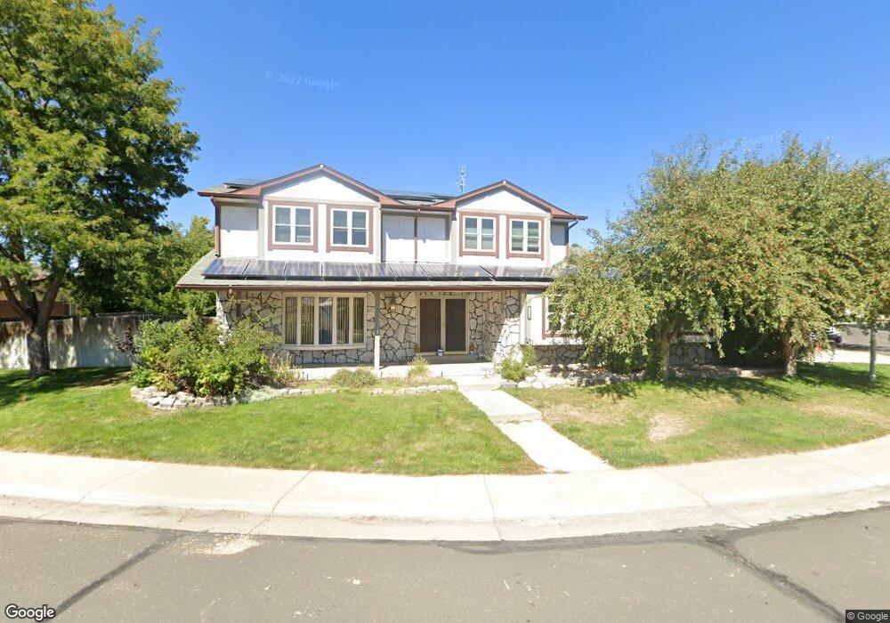
13169 Saint Paul Dr Thornton, CO 80241
Estimated Value: $504,000 - $599,000
4
Beds
3
Baths
2,249
Sq Ft
$248/Sq Ft
Est. Value
About This Home
This home is located at 13169 Saint Paul Dr, Thornton, CO 80241 and is currently estimated at $556,836, approximately $247 per square foot. 13169 Saint Paul Dr is a home located in Adams County with nearby schools including Tarver Elementary School, Century Middle School, and Horizon High School.
Ownership History
Date
Name
Owned For
Owner Type
Purchase Details
Closed on
Nov 15, 2001
Sold by
Lentz Michael B and Lentz Melanie L
Bought by
Fay Patrick and Lopez Fay Concha C
Current Estimated Value
Home Financials for this Owner
Home Financials are based on the most recent Mortgage that was taken out on this home.
Original Mortgage
$165,000
Interest Rate
6.59%
Mortgage Type
Balloon
Purchase Details
Closed on
Jun 25, 2001
Sold by
Lentz Michael B and Childers Melanie L
Bought by
Lentz Michael B and Lentz Melanie L
Home Financials for this Owner
Home Financials are based on the most recent Mortgage that was taken out on this home.
Original Mortgage
$200,000
Interest Rate
7.07%
Purchase Details
Closed on
Jul 21, 1993
Purchase Details
Closed on
May 12, 1993
Create a Home Valuation Report for This Property
The Home Valuation Report is an in-depth analysis detailing your home's value as well as a comparison with similar homes in the area
Home Values in the Area
Average Home Value in this Area
Purchase History
| Date | Buyer | Sale Price | Title Company |
|---|---|---|---|
| Fay Patrick | $246,500 | Empire Title & Escrow | |
| Lentz Michael B | -- | -- | |
| -- | -- | -- | |
| -- | $137,000 | -- |
Source: Public Records
Mortgage History
| Date | Status | Borrower | Loan Amount |
|---|---|---|---|
| Closed | Fay Patrick | $165,000 | |
| Previous Owner | Lentz Michael B | $200,000 |
Source: Public Records
Tax History Compared to Growth
Tax History
| Year | Tax Paid | Tax Assessment Tax Assessment Total Assessment is a certain percentage of the fair market value that is determined by local assessors to be the total taxable value of land and additions on the property. | Land | Improvement |
|---|---|---|---|---|
| 2024 | $3,755 | $33,000 | $6,560 | $26,440 |
| 2023 | $3,716 | $39,990 | $6,770 | $33,220 |
| 2022 | $3,124 | $28,360 | $6,460 | $21,900 |
| 2021 | $3,229 | $28,360 | $6,460 | $21,900 |
| 2020 | $2,953 | $26,470 | $6,650 | $19,820 |
| 2019 | $2,959 | $26,470 | $6,650 | $19,820 |
| 2018 | $2,965 | $25,770 | $7,490 | $18,280 |
| 2017 | $2,696 | $25,770 | $7,490 | $18,280 |
| 2016 | $2,176 | $20,250 | $3,660 | $16,590 |
| 2015 | $2,173 | $20,250 | $3,660 | $16,590 |
| 2014 | $2,287 | $20,720 | $3,420 | $17,300 |
Source: Public Records
Map
Nearby Homes
- 3007 E 131st Way
- 2788 E 132nd Cir
- 13080 Harrison Dr
- 2691 E 132nd Ave
- 13068 Harrison Dr
- 13540 Detroit St
- 4061 E 133rd Cir
- 2746 E 132nd Place
- 12814 Jackson Cir
- 3850 E 128th Way
- 13022 Bellaire St
- 13263 Clermont Cir
- 3802 E 127th Ln
- 13346 Birch Cir
- 13606 Garfield St Unit E
- 12865 Clermont St
- 12711 Colorado Blvd Unit 914
- 12711 Colorado Blvd Unit 617F
- 12672 Madison Ct
- 0 Colorado Blvd
- 13171 Saint Paul Ct
- 13167 Saint Paul Dr
- 13173 Saint Paul Ct
- 13162 Saint Paul Dr
- 13160 Saint Paul Dr
- 13170 Saint Paul Dr
- 13165 Saint Paul Dr
- 13168 Saint Paul Dr
- 13172 Saint Paul Dr
- 13175 Saint Paul Ct
- 13164 Saint Paul Dr
- 13158 Saint Paul Dr
- 3144 E 132nd Ct
- 3164 E 132nd Ct
- 13179 Saint Paul Ct
- 13166 Saint Paul Dr
- 13181 Saint Paul Ct
- 13177 Saint Paul Ct
- 13148 Cook Ct
- 13155 Monroe Ct