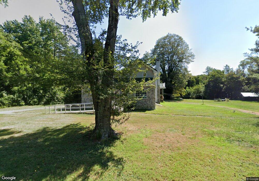
1317 13th St Hammonton, NJ 08037
Estimated Value: $337,725 - $476,000
--
Bed
--
Bath
2,165
Sq Ft
$182/Sq Ft
Est. Value
About This Home
This home is located at 1317 13th St, Hammonton, NJ 08037 and is currently estimated at $393,431, approximately $181 per square foot. 1317 13th St is a home located in Atlantic County with nearby schools including Folsom Elementary School, St Joseph Regional Elementary School, and St Joseph Regional High School.
Ownership History
Date
Name
Owned For
Owner Type
Purchase Details
Closed on
Sep 16, 1993
Sold by
Citicorp Mortgage Inc
Bought by
Crescenzo Anthony J
Current Estimated Value
Home Financials for this Owner
Home Financials are based on the most recent Mortgage that was taken out on this home.
Original Mortgage
$80,000
Interest Rate
7.1%
Purchase Details
Closed on
Dec 31, 1992
Sold by
Floriani Mario F Sheriff
Bought by
Citicorp Mortgage Inc
Purchase Details
Closed on
Feb 24, 1989
Sold by
Stout Howard C and Mary Theresa
Bought by
Ross Scott P and Ross Deborah L
Create a Home Valuation Report for This Property
The Home Valuation Report is an in-depth analysis detailing your home's value as well as a comparison with similar homes in the area
Home Values in the Area
Average Home Value in this Area
Purchase History
| Date | Buyer | Sale Price | Title Company |
|---|---|---|---|
| Crescenzo Anthony J | $101,000 | -- | |
| Citicorp Mortgage Inc | $100 | -- | |
| Ross Scott P | $118,000 | -- |
Source: Public Records
Mortgage History
| Date | Status | Borrower | Loan Amount |
|---|---|---|---|
| Closed | Crescenzo Anthony J | $80,000 |
Source: Public Records
Tax History Compared to Growth
Tax History
| Year | Tax Paid | Tax Assessment Tax Assessment Total Assessment is a certain percentage of the fair market value that is determined by local assessors to be the total taxable value of land and additions on the property. | Land | Improvement |
|---|---|---|---|---|
| 2025 | $4,566 | $219,700 | $90,500 | $129,200 |
| 2024 | $4,566 | $219,700 | $90,500 | $129,200 |
| 2023 | $4,502 | $219,700 | $90,500 | $129,200 |
| 2022 | $4,502 | $219,700 | $90,500 | $129,200 |
| 2021 | $4,463 | $219,700 | $90,500 | $129,200 |
| 2020 | $4,335 | $219,700 | $90,500 | $129,200 |
| 2019 | $4,407 | $219,700 | $90,500 | $129,200 |
| 2018 | $4,403 | $219,700 | $90,500 | $129,200 |
| 2017 | $3,914 | $120,800 | $30,300 | $90,500 |
| 2016 | $3,774 | $120,800 | $30,300 | $90,500 |
| 2015 | $3,686 | $120,800 | $30,300 | $90,500 |
| 2014 | $3,690 | $120,800 | $30,300 | $90,500 |
Source: Public Records
Map
Nearby Homes
- 1362 Mays Landing Rd
- 9 14th St
- 116 Lenape Terrace
- 1022 Black Horse Pike
- 316 E Collings Dr
- 0 Park Ave
- 928/920 14th St
- 1521 Mays Landing Rd
- 202 Wayne Ave
- 100 E Collings Dr
- 0 Cains Mill Rd Unit 598493
- 0 Cains Mill Rd Unit NJAC2018898
- 301 Colin Ln
- 113 E Colton Ln
- 3 E Beach Rd
- 403 Wiltshire Terrace
- 309 Cains Mill Rd
- 110 W Collings Dr
- 405 Cushman Ave
- 500 Ridgewood Terrace
- 1319 13th St
- 1310 13th St
- 1314 13th St
- 1321 13th St
- 1311 13th St
- 1307 13th St
- 1458 Backline Rd
- 1456 Backline Rd
- 1462 Backline Rd
- 1460 Backline Rd
- 1452 Backline Rd
- 1454 Backline Rd
- 1357 Mays Landing Rd
- 1351 Mays Landing Rd
- 1450 Backline Rd
- 1451 Backline Rd
- 1329 Mays Landing Rd
- 1353 Mays Landing Rd
- 1347 Mays Landing Rd
- 1446 Backline Rd