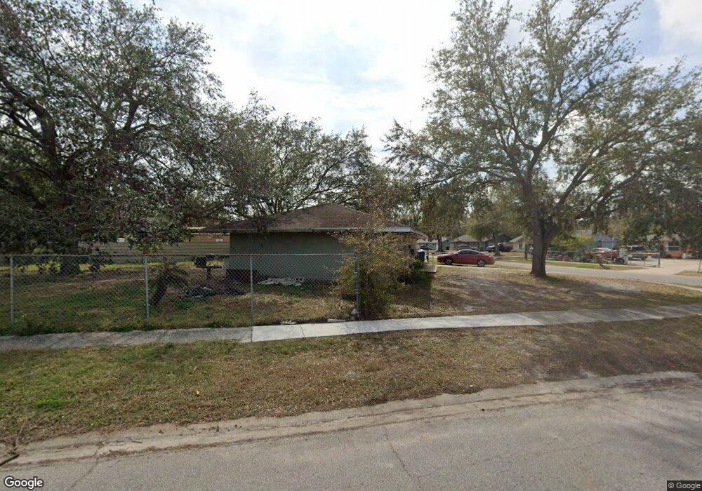
1317 Atlantic Dr Ruskin, FL 33570
Estimated Value: $172,000 - $301,000
2
Beds
1
Bath
1,275
Sq Ft
$183/Sq Ft
Est. Value
About This Home
This home is located at 1317 Atlantic Dr, Ruskin, FL 33570 and is currently estimated at $233,140, approximately $182 per square foot. 1317 Atlantic Dr is a home located in Hillsborough County with nearby schools including Thompson Elementary School, Shields Middle School, and Lennard High School.
Ownership History
Date
Name
Owned For
Owner Type
Purchase Details
Closed on
May 22, 2006
Sold by
Zamudio Arturo and Zamudio Myrna
Bought by
Zamudio Emmanuel and Zamudio Francisca
Current Estimated Value
Home Financials for this Owner
Home Financials are based on the most recent Mortgage that was taken out on this home.
Original Mortgage
$70,000
Interest Rate
6.41%
Mortgage Type
Fannie Mae Freddie Mac
Create a Home Valuation Report for This Property
The Home Valuation Report is an in-depth analysis detailing your home's value as well as a comparison with similar homes in the area
Home Values in the Area
Average Home Value in this Area
Purchase History
| Date | Buyer | Sale Price | Title Company |
|---|---|---|---|
| Zamudio Emmanuel | $90,000 | South Bay Title Insurance Ag |
Source: Public Records
Mortgage History
| Date | Status | Borrower | Loan Amount |
|---|---|---|---|
| Closed | Zamudio Emmanuel | $70,000 |
Source: Public Records
Tax History Compared to Growth
Tax History
| Year | Tax Paid | Tax Assessment Tax Assessment Total Assessment is a certain percentage of the fair market value that is determined by local assessors to be the total taxable value of land and additions on the property. | Land | Improvement |
|---|---|---|---|---|
| 2024 | $2,359 | $124,699 | $59,850 | $64,849 |
| 2023 | $2,201 | $120,796 | $49,875 | $70,921 |
| 2022 | $2,066 | $128,129 | $39,900 | $88,229 |
| 2021 | $1,861 | $100,834 | $31,421 | $69,413 |
| 2020 | $1,673 | $90,666 | $32,419 | $58,247 |
| 2019 | $1,495 | $79,351 | $23,441 | $55,910 |
| 2018 | $1,419 | $74,510 | $0 | $0 |
| 2017 | $1,264 | $58,384 | $0 | $0 |
| 2016 | $1,189 | $43,406 | $0 | $0 |
| 2015 | $1,108 | $39,460 | $0 | $0 |
| 2014 | $999 | $35,873 | $0 | $0 |
| 2013 | -- | $32,612 | $0 | $0 |
Source: Public Records
Map
Nearby Homes
- 731 Cristelle Jean Dr
- 947 Brenton Leaf Dr
- 1402 Delano Trent St
- 702 Cristelle Jean Dr
- 1023 Chandler Snowden Ct
- 110 14th St SE
- 1603 Carson White Ln
- 313 Shell Manor Dr
- 111 14th St SE
- 501 Delwood Breck St
- 316 Crichton St
- 843 Royal Empress Dr
- 928 Royal Empress Dr
- 1609 Delano Trent St
- 408 Delwood Breck St
- 762 Barclay Wood Dr
- 1739 Broad Winged Hawk Dr
- 1501 12th St NE
- 523 Glenn Cross Dr
- 527 Glenn Cross Dr
- 1315 Atlantic Dr
- 416 13th St NE
- 1322 Atlantic Dr
- 414 13th St NE
- 1324 Atlantic Dr
- 1313 Atlantic Dr Unit 3B
- 1316 Atlantic Dr
- 1318 Atlantic Dr
- 1326 Atlantic Dr
- 412 13th St NE
- 1320 Atlantic Dr
- 1314 Atlantic Dr
- 1311 Atlantic Dr
- 1312 Atlantic Dr
- 1328 Atlantic Dr
- 410 13th St NE
- 415 13th St NE
- 413 13th St NE
- 1310 Atlantic Dr
- 1330 Atlantic Dr