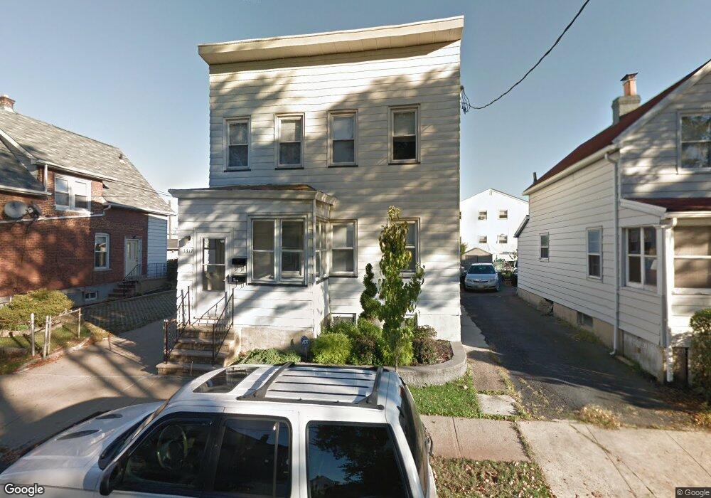
1317 Avy St Hillside, NJ 07205
Estimated Value: $465,607 - $671,000
--
Bed
--
Bath
1,546
Sq Ft
$360/Sq Ft
Est. Value
About This Home
This home is located at 1317 Avy St, Hillside, NJ 07205 and is currently estimated at $556,152, approximately $359 per square foot. 1317 Avy St is a home located in Union County with nearby schools including Abram P. Morris-Saybrook Elementary School, Hurden Looker School, and Ola Edwards Community School.
Ownership History
Date
Name
Owned For
Owner Type
Purchase Details
Closed on
Aug 28, 2025
Sold by
Santos Daniel and Santos Paula
Bought by
Silva Linda P and Silva Moises Rhuan
Current Estimated Value
Home Financials for this Owner
Home Financials are based on the most recent Mortgage that was taken out on this home.
Original Mortgage
$555,748
Outstanding Balance
$555,258
Interest Rate
6.63%
Mortgage Type
FHA
Estimated Equity
$894
Purchase Details
Closed on
Aug 15, 2007
Sold by
Vieira Avelino and Vieira Maria Mercedes
Bought by
Santos Daniel
Home Financials for this Owner
Home Financials are based on the most recent Mortgage that was taken out on this home.
Original Mortgage
$324,000
Interest Rate
6%
Mortgage Type
Seller Take Back
Create a Home Valuation Report for This Property
The Home Valuation Report is an in-depth analysis detailing your home's value as well as a comparison with similar homes in the area
Home Values in the Area
Average Home Value in this Area
Purchase History
| Date | Buyer | Sale Price | Title Company |
|---|---|---|---|
| Silva Linda P | $566,000 | American Land Title | |
| Silva Linda P | $566,000 | American Land Title | |
| Santos Daniel | $325,000 | Tri State Title Agency |
Source: Public Records
Mortgage History
| Date | Status | Borrower | Loan Amount |
|---|---|---|---|
| Open | Silva Linda P | $555,748 | |
| Closed | Silva Linda P | $555,748 | |
| Previous Owner | Santos Daniel | $324,000 |
Source: Public Records
Tax History Compared to Growth
Tax History
| Year | Tax Paid | Tax Assessment Tax Assessment Total Assessment is a certain percentage of the fair market value that is determined by local assessors to be the total taxable value of land and additions on the property. | Land | Improvement |
|---|---|---|---|---|
| 2025 | $9,640 | $116,800 | $63,700 | $53,100 |
| 2024 | $9,359 | $116,800 | $63,700 | $53,100 |
| 2023 | $9,359 | $116,800 | $63,700 | $53,100 |
| 2022 | $9,273 | $116,800 | $63,700 | $53,100 |
| 2021 | $9,212 | $116,800 | $63,700 | $53,100 |
| 2020 | $9,158 | $116,800 | $63,700 | $53,100 |
| 2019 | $8,981 | $116,800 | $63,700 | $53,100 |
| 2018 | $8,891 | $116,800 | $63,700 | $53,100 |
| 2017 | $8,837 | $116,800 | $63,700 | $53,100 |
| 2016 | $8,827 | $116,800 | $63,700 | $53,100 |
| 2015 | $8,748 | $116,800 | $63,700 | $53,100 |
| 2014 | $8,611 | $116,800 | $63,700 | $53,100 |
Source: Public Records
Map
Nearby Homes
- 220 Silver Ave
- 155 Silver Ave
- 1290 Baker St
- 1282 Baker St
- 149 Baltimore Ave
- 257 Herbert Ave
- 628 Us Highway 22 and 3
- 105 Liberty Ct Unit 105
- 1414 Boa Place Unit 2
- 1406 Maple Ave
- 292 Crann St
- 393 Harvard Ave
- 314 Fitzpatrick St
- 346 Florence Ave
- 507 Locust Ave
- 420 Hollywood Ave
- 339 Hillside Ave
- 339 Hillside Ave Unit 2
- 383 Conant St
- 1451 Franklin St