Estimated Value: $257,000 - $334,893
3
Beds
3
Baths
1,160
Sq Ft
$262/Sq Ft
Est. Value
About This Home
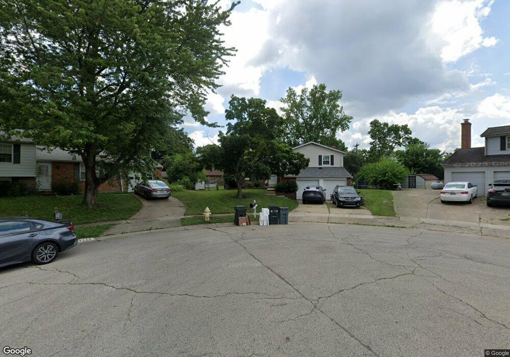
This home is located at 1317 Jennings Ct, Mason, OH 45040 and is currently estimated at $303,473, approximately $261 per square foot. 1317 Jennings Ct is a home located in Warren County with nearby schools including Mason Intermediate Elementary School, Mason Middle School, and William Mason High School.
Ownership History
Date
Name
Owned For
Owner Type
Purchase Details
Closed on
Aug 16, 2018
Sold by
Pamela Franklin
Bought by
Jackson Matthew
Current Estimated Value
Home Financials for this Owner
Home Financials are based on the most recent Mortgage that was taken out on this home.
Original Mortgage
$116,000
Outstanding Balance
$100,741
Interest Rate
4.5%
Mortgage Type
New Conventional
Estimated Equity
$202,732
Purchase Details
Closed on
Oct 18, 1993
Bought by
Chestnut & Nettie W.
Create a Home Valuation Report for This Property
The Home Valuation Report is an in-depth analysis detailing your home's value as well as a comparison with similar homes in the area
Home Values in the Area
Average Home Value in this Area
Purchase History
| Date | Buyer | Sale Price | Title Company |
|---|---|---|---|
| Jackson Matthew | $145,000 | None Available | |
| Chestnut & Nettie W. | -- | -- |
Source: Public Records
Mortgage History
| Date | Status | Borrower | Loan Amount |
|---|---|---|---|
| Open | Jackson Matthew | $116,000 |
Source: Public Records
Tax History Compared to Growth
Tax History
| Year | Tax Paid | Tax Assessment Tax Assessment Total Assessment is a certain percentage of the fair market value that is determined by local assessors to be the total taxable value of land and additions on the property. | Land | Improvement |
|---|---|---|---|---|
| 2024 | $3,527 | $86,900 | $24,500 | $62,400 |
| 2023 | $3,169 | $65,957 | $10,762 | $55,195 |
| 2022 | $3,128 | $65,958 | $10,763 | $55,195 |
| 2021 | $2,963 | $65,958 | $10,763 | $55,195 |
| 2020 | $2,809 | $53,624 | $8,750 | $44,874 |
| 2019 | $2,583 | $53,624 | $8,750 | $44,874 |
| 2018 | $2,591 | $53,624 | $8,750 | $44,874 |
| 2017 | $2,453 | $46,074 | $8,274 | $37,800 |
| 2016 | $2,527 | $46,074 | $8,274 | $37,800 |
| 2015 | $1,266 | $46,074 | $8,274 | $37,800 |
| 2014 | $1,269 | $43,060 | $7,730 | $35,330 |
| 2013 | $2,543 | $48,730 | $8,750 | $39,980 |
Source: Public Records
Map
Nearby Homes
- 873 Tradewind Dr
- 921 Leslie Ct
- 947 Olympia Dr
- 7986 Tylers Way
- 6070 Fireside Dr Unit 45
- 6356 Amber Ct Unit 91
- 7843 Butler Warren Rd
- 6138 Nicholas Way
- 6387 Coverage Ct
- 6369 Coverage Ct
- 6403 Coverage Ct
- 6357 Coverage Ct
- 6383 Coverage Ct
- 6407 Coverage Ct
- 6375 Coverage Ct
- 6365 Coverage Ct
- 6361 Coverage Ct
- 6379 Coverage Ct
- 6411 Coverage Ct
- 6126 Nicholas Way
- 1318 Jennings Ct
- 786 Anthony Ln
- 782 Anthony Ln
- 1316 Windward Dr
- 1325 Jennings Ct
- 778 Anthony Ln
- 1312 Anthony Ln
- 1322 Jennings Ct
- 1326 Windward Dr
- 1326 Jennings Ct
- 774 Anthony Ln
- 1336 Windward Dr
- 1329 Jennings Ct
- 811 Majken Place
- 1330 Jennings Ct
- 807 Majken Place
- 1344 Windward Dr
- 770 Anthony Ln
- 781 Anthony Ln
- 805 Majken Place