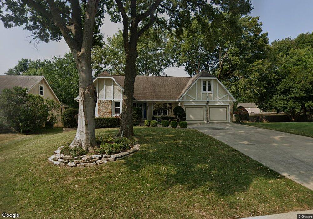
1317 NW 12th St Blue Springs, MO 64015
Estimated Value: $343,158 - $412,000
3
Beds
4
Baths
2,301
Sq Ft
$164/Sq Ft
Est. Value
About This Home
This home is located at 1317 NW 12th St, Blue Springs, MO 64015 and is currently estimated at $378,290, approximately $164 per square foot. 1317 NW 12th St is a home located in Jackson County with nearby schools including James Lewis Elementary School, Brittany Hill Middle School, and Blue Springs High School.
Ownership History
Date
Name
Owned For
Owner Type
Purchase Details
Closed on
Oct 11, 2013
Sold by
Maxon Richard W and Powers Maxon Kathleen A
Bought by
Maxon Richard W and Powers Maxon Kathleen A
Current Estimated Value
Purchase Details
Closed on
May 24, 2000
Sold by
Tinsley Robert L & Mary P Tr
Bought by
Maxon Richard W and Powers Maxon Kathy
Home Financials for this Owner
Home Financials are based on the most recent Mortgage that was taken out on this home.
Original Mortgage
$140,000
Interest Rate
7.77%
Mortgage Type
Purchase Money Mortgage
Purchase Details
Closed on
Feb 2, 2000
Sold by
Tinsley Robert L & Mary P Tr
Bought by
Tinsley Robert L and Tinsley Mary P
Create a Home Valuation Report for This Property
The Home Valuation Report is an in-depth analysis detailing your home's value as well as a comparison with similar homes in the area
Home Values in the Area
Average Home Value in this Area
Purchase History
| Date | Buyer | Sale Price | Title Company |
|---|---|---|---|
| Maxon Richard W | -- | None Available | |
| Maxon Richard W | -- | Stewart Title | |
| Tinsley Robert L | -- | -- |
Source: Public Records
Mortgage History
| Date | Status | Borrower | Loan Amount |
|---|---|---|---|
| Closed | Maxon Richard W | $140,000 |
Source: Public Records
Tax History Compared to Growth
Tax History
| Year | Tax Paid | Tax Assessment Tax Assessment Total Assessment is a certain percentage of the fair market value that is determined by local assessors to be the total taxable value of land and additions on the property. | Land | Improvement |
|---|---|---|---|---|
| 2025 | $3,567 | $50,274 | $8,311 | $41,963 |
| 2024 | $3,498 | $43,717 | $4,406 | $39,311 |
| 2023 | $3,498 | $43,717 | $3,365 | $40,352 |
| 2022 | $4,249 | $46,930 | $4,959 | $41,971 |
| 2021 | $4,245 | $46,930 | $4,959 | $41,971 |
| 2020 | $3,904 | $43,897 | $4,959 | $38,938 |
| 2019 | $3,774 | $43,897 | $4,959 | $38,938 |
| 2018 | $3,700 | $41,429 | $5,445 | $35,984 |
| 2017 | $3,700 | $41,429 | $5,445 | $35,984 |
| 2016 | $3,465 | $38,893 | $4,769 | $34,124 |
| 2014 | $3,279 | $36,686 | $4,451 | $32,235 |
Source: Public Records
Map
Nearby Homes
- 1601 NW Weatherstone Ct
- 1501 NW 18th St
- 1504 NW Weatherstone Dr
- 1209 NW Hawk Creek Dr
- 1113 NW Forest Dr
- 1389 NW Jefferson Ct
- 1000 NW Forest Dr
- 912 NW Forest Dr
- 2100 NW Parker Ct
- 1701 NW Duncan Rd
- 2117 NW Parker Ct
- 2100 NW 12th St
- 1201 NW Burr Oak Ct
- 804 NW Maynard St
- 908 NW Timber Oak Dr
- 1604 NW Sunridge Dr
- 409 NW Locust Dr
- 1812 NW Willowbrook Dr
- 2300 NW Chatham Place
- 0 NW Jefferson St
- 1313 NW 12 St
- 1213 NW Westwood Dr
- 1404 NW 12th St
- 1408 NW 12th St
- 1400 NW 12th St
- 1217 NW Westwood Dr
- 1401 NW 12th St
- 1208 NW Westwood Dr
- 1204 NW Westwood Dr
- 1412 NW 12th St
- 1309 NW 12th St
- 1315 NW Westwood Dr
- 1212 NW Westwood Dr
- 1216 NW Westwood Dr
- 1308 NW 12th St
- 1416 NW 12th St
- 1108 NW Timber Ridge
- 1501 NW 12th St
- 1401 NW Westwood Dr
- 1406 NW Woodcreek Cir