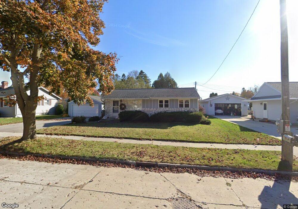
1317 Oriole Dr Manitowoc, WI 54220
Estimated Value: $170,000 - $231,000
3
Beds
2
Baths
1,068
Sq Ft
$189/Sq Ft
Est. Value
About This Home
This home is located at 1317 Oriole Dr, Manitowoc, WI 54220 and is currently estimated at $202,072, approximately $189 per square foot. 1317 Oriole Dr is a home located in Manitowoc County with nearby schools including Riverview Elementary School, Wilson Middle School, and Lincoln High School.
Ownership History
Date
Name
Owned For
Owner Type
Purchase Details
Closed on
Aug 19, 2021
Sold by
Woepse Susan K and Radtke Diane B
Bought by
Hulsey Nathan W and Hulsey Rachel M
Current Estimated Value
Home Financials for this Owner
Home Financials are based on the most recent Mortgage that was taken out on this home.
Original Mortgage
$80,000
Outstanding Balance
$72,635
Interest Rate
2.8%
Mortgage Type
New Conventional
Estimated Equity
$129,437
Purchase Details
Closed on
May 4, 2021
Sold by
Mueller Patricia Marie and Mueller Eugene Joseph
Bought by
Mueller Patricia Marie and Woepse Susan K
Create a Home Valuation Report for This Property
The Home Valuation Report is an in-depth analysis detailing your home's value as well as a comparison with similar homes in the area
Home Values in the Area
Average Home Value in this Area
Purchase History
| Date | Buyer | Sale Price | Title Company |
|---|---|---|---|
| Hulsey Nathan W | $100,000 | None Available | |
| Mueller Patricia Marie | -- | None Available | |
| Mueller Patricia Marie | -- | None Listed On Document |
Source: Public Records
Mortgage History
| Date | Status | Borrower | Loan Amount |
|---|---|---|---|
| Open | Hulsey Nathan W | $80,000 |
Source: Public Records
Tax History
| Year | Tax Paid | Tax Assessment Tax Assessment Total Assessment is a certain percentage of the fair market value that is determined by local assessors to be the total taxable value of land and additions on the property. | Land | Improvement |
|---|---|---|---|---|
| 2024 | $2,670 | $165,300 | $18,400 | $146,900 |
| 2023 | $2,447 | $165,300 | $18,400 | $146,900 |
| 2022 | $2,158 | $121,400 | $18,400 | $103,000 |
| 2021 | $2,151 | $121,400 | $18,400 | $103,000 |
| 2020 | $1,832 | $95,000 | $18,400 | $76,600 |
| 2019 | $1,799 | $95,000 | $18,400 | $76,600 |
| 2018 | $1,774 | $95,000 | $18,400 | $76,600 |
| 2017 | $1,766 | $95,000 | $18,400 | $76,600 |
| 2016 | $1,830 | $95,000 | $18,400 | $76,600 |
| 2015 | $1,887 | $95,000 | $18,400 | $76,600 |
| 2014 | $1,839 | $95,000 | $18,400 | $76,600 |
| 2013 | $1,864 | $95,000 | $18,400 | $76,600 |
Source: Public Records
Map
Nearby Homes
- 1102 E Cedar Ave
- 1209 E Thomas St
- 910 E Cedar Ave Unit 604
- 1604 Holly Dr
- 807 E Linden Ave
- 1616 Fern Dr
- 316 E Park View Ln
- 4220 Memorial Dr
- 1335 Lynx Ln
- 1339 Wolf Run
- 131 Mckinley St
- 1925 Creekwood Ct
- 2348 Wild Oak Dr
- LT0 Mosie Ct
- Lt13/14 Florence St
- 436 Maple Leaf Ct
- 402 Wild Oak Dr
- 1337 N 9th St
- 2510 Stoney Brook Ct
- 818 N 6th St
Your Personal Tour Guide
Ask me questions while you tour the home.