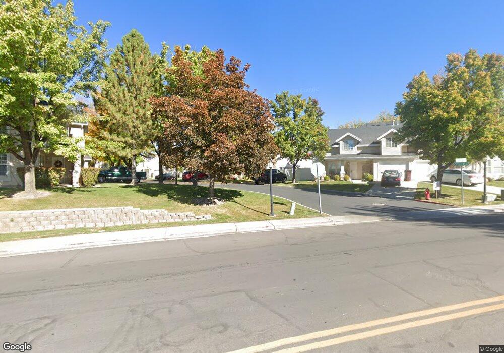
1317 S 1260 W Orem, UT 84058
Lakeview NeighborhoodEstimated Value: $353,410 - $372,000
2
Beds
2
Baths
1,374
Sq Ft
$265/Sq Ft
Est. Value
About This Home
This home is located at 1317 S 1260 W, Orem, UT 84058 and is currently estimated at $364,137, approximately $265 per square foot. 1317 S 1260 W is a home located in Utah County with nearby schools including Vineyard Elementary School, Lakeridge Jr High School, and Mountain View High School.
Ownership History
Date
Name
Owned For
Owner Type
Purchase Details
Closed on
Nov 15, 2017
Sold by
Johnson Wanda L and Johnson Family Revocable Trust
Bought by
Johnson Chad N and Johnson Mandy S
Current Estimated Value
Home Financials for this Owner
Home Financials are based on the most recent Mortgage that was taken out on this home.
Original Mortgage
$132,750
Outstanding Balance
$72,949
Interest Rate
3.85%
Mortgage Type
New Conventional
Estimated Equity
$291,188
Purchase Details
Closed on
Jan 1, 2014
Sold by
Johnson Wanda L
Bought by
Johnson Wanda L
Purchase Details
Closed on
Jun 11, 2002
Sold by
Johnson Edward D and Johnson Wanda L
Bought by
Johnson Edward D and Johnson Wanda L
Purchase Details
Closed on
Dec 30, 1996
Sold by
Country Woods Lc
Bought by
Johnson Edward D and Johnson Wanda L
Create a Home Valuation Report for This Property
The Home Valuation Report is an in-depth analysis detailing your home's value as well as a comparison with similar homes in the area
Home Values in the Area
Average Home Value in this Area
Purchase History
| Date | Buyer | Sale Price | Title Company |
|---|---|---|---|
| Johnson Chad N | -- | Highland Title | |
| Johnson Wanda L | -- | None Available | |
| Johnson Edward D | -- | -- | |
| Johnson Edward D | -- | First American Title |
Source: Public Records
Mortgage History
| Date | Status | Borrower | Loan Amount |
|---|---|---|---|
| Open | Johnson Chad N | $132,750 |
Source: Public Records
Tax History
| Year | Tax Paid | Tax Assessment Tax Assessment Total Assessment is a certain percentage of the fair market value that is determined by local assessors to be the total taxable value of land and additions on the property. | Land | Improvement |
|---|---|---|---|---|
| 2025 | $1,527 | $185,790 | -- | -- |
| 2024 | $1,527 | $186,725 | $0 | $0 |
| 2023 | $1,497 | $196,680 | $0 | $0 |
| 2022 | $1,418 | $180,565 | $0 | $0 |
| 2021 | $1,335 | $257,500 | $30,900 | $226,600 |
| 2020 | $1,213 | $229,900 | $27,600 | $202,300 |
| 2019 | $1,121 | $221,000 | $28,500 | $192,500 |
| 2018 | $1,021 | $192,300 | $24,000 | $168,300 |
| 2017 | $912 | $91,960 | $0 | $0 |
| 2016 | $899 | $83,600 | $0 | $0 |
| 2015 | $913 | $80,300 | $0 | $0 |
| 2014 | $930 | $81,400 | $0 | $0 |
Source: Public Records
Map
Nearby Homes
- 1412 S Geneva Rd
- 1363 S 1150 W
- 1037 W 1360 S
- 1395 S 1020 W
- 937 S 1635 W
- 1700 S Sandhill Rd Unit F401
- 1618 W 860 S
- 1463 W 730 S
- 1431 W 650 S
- 1924 S 1120 W
- 1942 S 1140 W Unit 725
- 1928 S 1030 W
- 1041 W 600 S
- 1813 W 795 S Unit 231
- 881 S 635 W
- 442 W 1430 S Unit 421
- 713 S 1803 W
- 1963 W Golden Pond Way
- 467 W 1640 S
- 570 S 800 West St Unit 15
- 1317 S 1260 W Unit 13
- 1241 W 1295 S
- 1241 W 1295 S Unit 14
- 1313 S 1260 W
- 1313 S 1260 W Unit 16
- 1245 W 1295 S
- 1245 W 1295 S Unit 15
- 1239 W 1295 S
- 1239 W 1295 S Unit 11
- 1323 S 1260 W Unit 12
- 1235 W 1295 S
- 1235 W 1295 S Unit 10
- 1240 W 1330 S
- 1240 W 1330 S Unit 9
- 1318 S 1260 W
- 1318 S 1260 W Unit 18
- 1320 S 1260 W
- 1320 S 1260 W Unit 17
- 1314 S 1260 W
- 1314 S 1260 W Unit 19
Your Personal Tour Guide
Ask me questions while you tour the home.