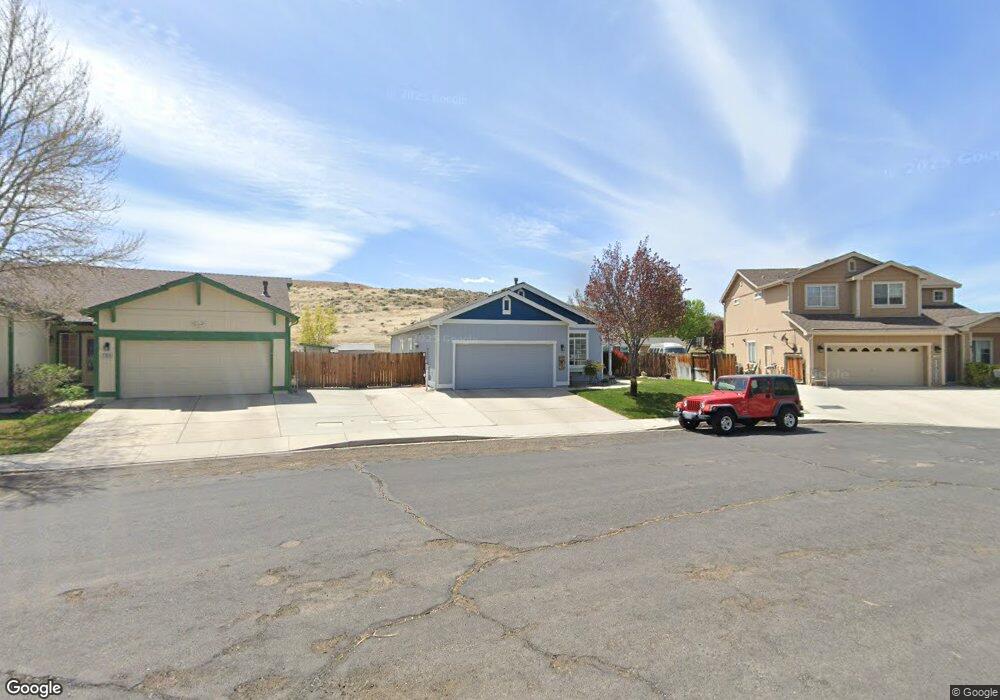
1317 Spade Bit Ct Sparks, NV 89434
Reed NeighborhoodEstimated Value: $482,647 - $577,000
3
Beds
2
Baths
1,668
Sq Ft
$319/Sq Ft
Est. Value
About This Home
This home is located at 1317 Spade Bit Ct, Sparks, NV 89434 and is currently estimated at $532,912, approximately $319 per square foot. 1317 Spade Bit Ct is a home located in Washoe County with nearby schools including Jerry Whitehead Elementary School, Lou Mendive Middle School, and Edward C Reed High School.
Ownership History
Date
Name
Owned For
Owner Type
Purchase Details
Closed on
Apr 15, 2002
Sold by
Shadow Park Homes Llc
Bought by
Kimball Kraig M and Kimball Jennifer L
Current Estimated Value
Home Financials for this Owner
Home Financials are based on the most recent Mortgage that was taken out on this home.
Original Mortgage
$177,200
Outstanding Balance
$73,772
Interest Rate
6.87%
Estimated Equity
$459,140
Create a Home Valuation Report for This Property
The Home Valuation Report is an in-depth analysis detailing your home's value as well as a comparison with similar homes in the area
Home Values in the Area
Average Home Value in this Area
Purchase History
| Date | Buyer | Sale Price | Title Company |
|---|---|---|---|
| Kimball Kraig M | $186,544 | Western Title Inc |
Source: Public Records
Mortgage History
| Date | Status | Borrower | Loan Amount |
|---|---|---|---|
| Open | Kimball Kraig M | $177,200 |
Source: Public Records
Tax History Compared to Growth
Tax History
| Year | Tax Paid | Tax Assessment Tax Assessment Total Assessment is a certain percentage of the fair market value that is determined by local assessors to be the total taxable value of land and additions on the property. | Land | Improvement |
|---|---|---|---|---|
| 2025 | $2,901 | $116,454 | $36,120 | $80,334 |
| 2024 | $2,901 | $114,543 | $33,215 | $81,328 |
| 2023 | $2,818 | $96,992 | $35,175 | $61,817 |
| 2022 | $2,356 | $78,225 | $26,740 | $51,485 |
| 2021 | $2,291 | $72,984 | $21,735 | $51,249 |
| 2020 | $2,325 | $72,066 | $20,720 | $51,346 |
| 2019 | $2,258 | $70,341 | $20,720 | $49,621 |
| 2018 | $2,192 | $63,036 | $14,455 | $48,581 |
| 2017 | $2,131 | $62,364 | $13,720 | $48,644 |
| 2016 | $2,076 | $61,888 | $12,250 | $49,638 |
| 2015 | $2,073 | $59,898 | $10,325 | $49,573 |
| 2014 | $2,014 | $56,668 | $9,030 | $47,638 |
| 2013 | -- | $53,789 | $6,860 | $46,929 |
Source: Public Records
Map
Nearby Homes
- 3345 Groom Way
- 1575 Olinghouse St
- 3127 Montezuma Way
- 3253 Clan Alpine Dr
- 1069 Palmwood Dr
- 1035 Baywood Dr Unit D
- 3602 Oakridge Dr
- 1029 Baywood Dr Unit D
- 1031 Vintage Hills Pkwy
- Plan 4 at Eagle Peak
- Plan 5 at Eagle Peak
- Plan 2 at Eagle Peak
- Plan 1 at Eagle Peak
- Plan 3 at Eagle Peak
- 1128 Bradley Square
- 1557 Satellite Dr
- 930 Spanish Springs Rd
- 3988 Ella Jayne Ct Unit Lot 6
- 1688 Round Mountain Cir
- 2407 Sunny Slope Dr Unit 1
- 1325 Spade Bit Ct
- 1309 Spade Bit Ct
- 1333 Spade Bit Ct
- 1301 Spade Bit Ct
- 3455 Shadow Ranch Dr
- 1341 Spade Bit Ct
- 2300 Shadow Ln
- 1349 Spade Bit Dr
- 1357 Spade Bit Dr
- 1356 Spade Bit Dr
- 2200 Shadow Ln
- 7645 Country Cir
- 7645 Country Creek Rd
- 1365 Spade Bit Dr
- 1368 Spade Bit Dr
- 3483 Shadow Ranch Dr
- 3482 Shadow Ranch Dr
- 1373 Spade Bit Dr
- 3479 Shadow Cast Ct
- 1376 Spade Bit Dr