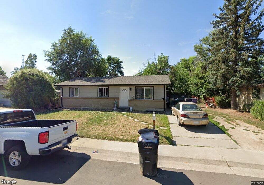
13174 Robins Dr Denver, CO 80239
Montbello NeighborhoodEstimated Value: $416,456 - $467,000
5
Beds
2
Baths
1,958
Sq Ft
$226/Sq Ft
Est. Value
About This Home
This home is located at 13174 Robins Dr, Denver, CO 80239 and is currently estimated at $441,864, approximately $225 per square foot. 13174 Robins Dr is a home located in Denver County with nearby schools including Amesse Elementary School, McGlone Academy, and Pitt-Waller K-8 School.
Ownership History
Date
Name
Owned For
Owner Type
Purchase Details
Closed on
May 4, 2017
Sold by
Msb Group Llc
Bought by
Barrios Ruben Hernandez
Current Estimated Value
Home Financials for this Owner
Home Financials are based on the most recent Mortgage that was taken out on this home.
Original Mortgage
$294,566
Outstanding Balance
$244,463
Interest Rate
4.37%
Mortgage Type
FHA
Estimated Equity
$197,401
Purchase Details
Closed on
Oct 10, 2016
Sold by
Shope Richard
Bought by
Msb Group Llc
Create a Home Valuation Report for This Property
The Home Valuation Report is an in-depth analysis detailing your home's value as well as a comparison with similar homes in the area
Home Values in the Area
Average Home Value in this Area
Purchase History
We collect this data history from publicly available records. To have your information removed, we recommend requesting removal directly through your county’s website.
| Date | Buyer | Sale Price | Title Company |
|---|---|---|---|
| Barrios Ruben Hernandez | $300,000 | Heritage Title Co | |
| Msb Group Llc | -- | None Available |
Source: Public Records
Mortgage History
We collect this data history from publicly available records. To have your information removed, we recommend requesting removal directly through your county’s website.
| Date | Status | Borrower | Loan Amount |
|---|---|---|---|
| Open | Barrios Ruben Hernandez | $294,566 |
Source: Public Records
Tax History
| Year | Tax Paid | Tax Assessment Tax Assessment Total Assessment is a certain percentage of the fair market value that is determined by local assessors to be the total taxable value of land and additions on the property. | Land | Improvement |
|---|---|---|---|---|
| 2025 | $2,096 | $32,170 | $4,790 | $4,790 |
| 2024 | $2,096 | $26,460 | $860 | $25,600 |
| 2023 | $2,050 | $26,460 | $860 | $25,600 |
| 2022 | $1,888 | $23,740 | $3,770 | $19,970 |
| 2021 | $1,822 | $24,420 | $3,880 | $20,540 |
| 2020 | $1,712 | $23,070 | $3,880 | $19,190 |
| 2019 | $1,664 | $23,070 | $3,880 | $19,190 |
| 2018 | $1,444 | $18,670 | $2,930 | $15,740 |
| 2017 | $1,236 | $16,030 | $2,930 | $13,100 |
| 2016 | $875 | $10,730 | $2,706 | $8,024 |
| 2015 | $838 | $10,730 | $2,706 | $8,024 |
| 2014 | $569 | $6,850 | $1,990 | $4,860 |
Source: Public Records
Map
Nearby Homes
- 5560 Wheeling St
- 13041 Olmsted Place
- 13192 Maxwell Place
- 12831 Randolph Place
- 5564 Xapary Way
- 5502 Scranton St
- 5320 Worchester St
- 5551 Auckland Way
- 10087 Scranton Ct
- 10127 Scranton Ct
- 10155 Scranton Ct
- 10085 Scranton Ct
- 5009 Uvalda St
- 5030 Titan Ct
- 5119 Chandler Way
- 5519 Chandler Ct
- 12234 E Berkeley Place
- 5542 Sable St
- 12978 E Elgin Dr
- 12973 E Elgin Place
- 13184 Robins Dr
- 13164 Robins Dr
- 13173 Robins Dr
- 13165 Pensacola Place
- 13144 Robins Dr
- 13163 Robins Dr
- 13194 Robins Dr
- 13145 Pensacola Place
- 13183 Robins Dr
- 5555 Vaughn St
- 13135 Pensacola Place
- 13193 Robins Dr
- 13143 Robins Dr
- 13125 Pensacola Place
- 13123 Robins Dr
- 13160 Pensacola Place
- 13140 Pensacola Place
- 13152 Randolph Place
- 13162 Randolph Place
- 13172 Randolph Place
Your Personal Tour Guide
Ask me questions while you tour the home.