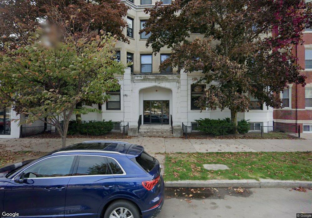
1318 Commonwealth Ave Unit 11 Allston, MA 02134
Commonwealth NeighborhoodEstimated Value: $415,000 - $466,000
2
Beds
1
Bath
575
Sq Ft
$747/Sq Ft
Est. Value
About This Home
This home is located at 1318 Commonwealth Ave Unit 11, Allston, MA 02134 and is currently estimated at $429,467, approximately $746 per square foot. 1318 Commonwealth Ave Unit 11 is a home located in Suffolk County with nearby schools including Match Charter Public School, Boston Green Academy Horace Mann Charter School, and Mesivta High School of Greater Boston.
Ownership History
Date
Name
Owned For
Owner Type
Purchase Details
Closed on
Dec 24, 2020
Sold by
1318 Comm Avenue T
Bought by
Comm Ave 1318 Llc
Current Estimated Value
Purchase Details
Closed on
Sep 24, 1991
Sold by
Lotfi Mostafa
Bought by
Travelers Mtg Svcs Inc
Purchase Details
Closed on
Mar 30, 1988
Sold by
Lilly Joseph
Bought by
Lotfi Mostafa
Home Financials for this Owner
Home Financials are based on the most recent Mortgage that was taken out on this home.
Original Mortgage
$86,250
Interest Rate
9.89%
Mortgage Type
Purchase Money Mortgage
Create a Home Valuation Report for This Property
The Home Valuation Report is an in-depth analysis detailing your home's value as well as a comparison with similar homes in the area
Home Values in the Area
Average Home Value in this Area
Purchase History
| Date | Buyer | Sale Price | Title Company |
|---|---|---|---|
| Comm Ave 1318 Llc | -- | None Available | |
| Travelers Mtg Svcs Inc | $33,000 | -- | |
| Lotfi Mostafa | $115,000 | -- |
Source: Public Records
Mortgage History
| Date | Status | Borrower | Loan Amount |
|---|---|---|---|
| Previous Owner | Lotfi Mostafa | $86,250 |
Source: Public Records
Tax History Compared to Growth
Tax History
| Year | Tax Paid | Tax Assessment Tax Assessment Total Assessment is a certain percentage of the fair market value that is determined by local assessors to be the total taxable value of land and additions on the property. | Land | Improvement |
|---|---|---|---|---|
| 2025 | $4,059 | $350,500 | $0 | $350,500 |
| 2024 | $3,681 | $337,700 | $0 | $337,700 |
| 2023 | $3,627 | $337,700 | $0 | $337,700 |
| 2022 | $3,465 | $318,500 | $0 | $318,500 |
| 2021 | $3,398 | $318,500 | $0 | $318,500 |
| 2020 | $2,974 | $281,600 | $0 | $281,600 |
| 2019 | $2,910 | $276,100 | $0 | $276,100 |
| 2018 | $2,705 | $258,100 | $0 | $258,100 |
| 2017 | $2,531 | $239,000 | $0 | $239,000 |
| 2016 | $2,412 | $219,300 | $0 | $219,300 |
| 2015 | $2,381 | $196,600 | $0 | $196,600 |
| 2014 | $2,248 | $178,700 | $0 | $178,700 |
Source: Public Records
Map
Nearby Homes
- 15 Walbridge St Unit 3
- 86 Glenville Ave Unit 2
- 91 Verndale St
- 140 Columbia St Unit 1
- 130 Glenville Ave
- 1269 Commonwealth Ave Unit 5
- 239 Kelton St Unit 41
- 245 Kelton St Unit 21
- 285 Corey Rd Unit 7
- 161 Allston St
- 30 Glenville Ave Unit 1
- 108 Columbia St Unit 1
- 69 Quint Ave Unit 7
- 194 Allston St Unit 2
- 1404 Commonwealth Ave Unit 4-8
- 16 Royce Rd Unit 4
- 1408 Commonwealth Ave Unit 20
- 198 Allston St Unit 3
- 28 Verndale St
- 53 Quint Ave
- 1318 Commonwealth Ave Unit 3
- 1318 Commonwealth Ave Unit 23
- 1318 Commonwealth Ave Unit 22
- 1318 Commonwealth Ave Unit 21
- 1318 Commonwealth Ave Unit 20
- 1318 Commonwealth Ave Unit 19A
- 1318 Commonwealth Ave Unit 19
- 1318 Commonwealth Ave Unit 18
- 1318 Commonwealth Ave Unit 17
- 1318 Commonwealth Ave Unit 16
- 1318 Commonwealth Ave Unit 15
- 1318 Commonwealth Ave Unit 14
- 1318 Commonwealth Ave Unit 12A
- 1318 Commonwealth Ave Unit 12
- 1318 Commonwealth Ave Unit 10A
- 1318 Commonwealth Ave Unit 10
- 1318 Commonwealth Ave Unit 9
- 1318 Commonwealth Ave Unit 8
- 1318 Commonwealth Ave Unit 7
- 1318 Commonwealth Ave Unit 6