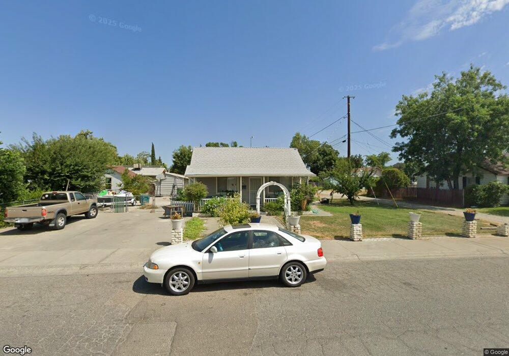
1318 Fig Ln Unit Ln Corning, CA 96021
Estimated Value: $247,000 - $270,000
About This Home
This home is located at 1318 Fig Ln Unit Ln, Corning, CA 96021 and is currently estimated at $256,892, approximately $190 per square foot. 1318 Fig Ln Unit Ln is a home located in Tehama County with nearby schools including West Street Elementary School, Maywood Middle School, and Corning High School.
Ownership History
We collect this data history from publicly available records. To have your information removed, we recommend requesting removal directly through your county’s website.
Purchase Details
Purchase Details
Purchase Details
Purchase Details
Purchase Details
Home Financials for this Owner
Home Financials are based on the most recent Mortgage that was taken out on this home.Purchase Details
Home Financials for this Owner
Home Financials are based on the most recent Mortgage that was taken out on this home.Purchase Details
Home Financials for this Owner
Home Financials are based on the most recent Mortgage that was taken out on this home.Purchase Details
Home Financials for this Owner
Home Financials are based on the most recent Mortgage that was taken out on this home.Purchase History
We collect this data history from publicly available records. To have your information removed, we recommend requesting removal directly through your county’s website.
| Date | Buyer | Sale Price | Title Company |
|---|---|---|---|
| $180,000 | Placer Title Co | ||
| $62,000 | Servicelink | ||
| -- | None Available | ||
| -- | None Available | ||
| $175,163 | None Available | ||
| -- | None Available | ||
| -- | None Available | ||
| $190,000 | Fidelity National Title Comp | ||
| -- | None Available |
Mortgage History
We collect this data history from publicly available records. To have your information removed, we recommend requesting removal directly through your county’s website.
| Date | Status | Borrower | Loan Amount |
|---|---|---|---|
| Previous Owner | $154,533 | ||
| Previous Owner | $152,250 | ||
| Previous Owner | $133,000 |
Tax History
We collect this data history from publicly available records. To have your information removed, we recommend requesting removal directly through your county’s website.
| Year | Tax Paid | Tax Assessment Tax Assessment Total Assessment is a certain percentage of the fair market value that is determined by local assessors to be the total taxable value of land and additions on the property. | Land | Improvement |
|---|---|---|---|---|
| 2025 | $1,997 | $200,677 | $39,040 | $161,637 |
| 2023 | $1,958 | $192,886 | $37,525 | $155,361 |
| 2022 | $1,929 | $189,105 | $36,790 | $152,315 |
| 2021 | $1,855 | $185,398 | $36,069 | $149,329 |
| 2020 | $1,948 | $183,498 | $35,700 | $147,798 |
| 2019 | $1,869 | $179,900 | $35,000 | $144,900 |
| 2018 | $845 | $79,218 | $21,125 | $58,093 |
| 2017 | $839 | $77,665 | $20,711 | $56,954 |
| 2016 | $782 | $76,143 | $20,305 | $55,838 |
| 2015 | -- | $75,000 | $20,000 | $55,000 |
| 2014 | $783 | $75,339 | $20,090 | $55,249 |
Map
- 1311 6th Ave
- 1220 5th Ave
- 1162 5th Ave
- 801 Almond St
- 0 Houghton Ave Unit 324045531
- 1209 Marin St
- 1121 Marin St
- 818 6th St
- 1414 Marin St
- 806 Walnut St
- 0 Toomes Ave Unit SN25272183
- 0 Toomes Ave Unit SN24222817
- 0 Toomes Ave Unit SN25176211
- 1308 Pear St
- 2018 Donnovan Ave
- 2059 Blossom Ave
- 2067 Blossom Ave
- 1703 Yolo St
- 611 Hoag St Unit 250
- 617 Solano St
Ask me questions while you tour the home.