1318 Michael Ct Unit 1582 Bayside, NY 11360
Bayside NeighborhoodEstimated Value: $1,030,577 - $1,274,000
--
Bed
--
Bath
1,940
Sq Ft
$585/Sq Ft
Est. Value
About This Home
This home is located at 1318 Michael Ct Unit 1582, Bayside, NY 11360 and is currently estimated at $1,135,644, approximately $585 per square foot. 1318 Michael Ct Unit 1582 is a home located in Queens County with nearby schools including P.S. 209 - Clearview Gardens, J.H.S. 194 William Carr, and Bayside High School.
Ownership History
Date
Name
Owned For
Owner Type
Purchase Details
Closed on
Sep 17, 2004
Sold by
Wesson Jonathan A and Wesson Karen
Bought by
Palmer Josie and Palmer Robert A
Current Estimated Value
Purchase Details
Closed on
Jul 24, 2002
Sold by
Scagnelli John and Scagnelli Carla
Bought by
Wesson Jonathan T and Wesson Karen
Purchase Details
Closed on
Dec 4, 1997
Sold by
Palmer Josie and Pappadio Josie
Bought by
Scagnelli John and Scagnelli Carla
Create a Home Valuation Report for This Property
The Home Valuation Report is an in-depth analysis detailing your home's value as well as a comparison with similar homes in the area
Home Values in the Area
Average Home Value in this Area
Purchase History
| Date | Buyer | Sale Price | Title Company |
|---|---|---|---|
| Palmer Josie | $740,000 | -- | |
| Palmer Josie | $740,000 | -- | |
| Wesson Jonathan T | -- | -- | |
| Wesson Jonathan T | -- | -- | |
| Scagnelli John | $370,000 | Safe Harbor Title Agency | |
| Scagnelli John | $370,000 | Safe Harbor Title Agency |
Source: Public Records
Tax History Compared to Growth
Tax History
| Year | Tax Paid | Tax Assessment Tax Assessment Total Assessment is a certain percentage of the fair market value that is determined by local assessors to be the total taxable value of land and additions on the property. | Land | Improvement |
|---|---|---|---|---|
| 2025 | $10,822 | $54,289 | $3,972 | $50,317 |
| 2024 | $10,822 | $53,880 | $4,313 | $49,567 |
| 2023 | $10,209 | $50,831 | $3,618 | $47,213 |
| 2022 | $9,573 | $64,830 | $4,953 | $59,877 |
| 2021 | $9,521 | $57,440 | $4,953 | $52,487 |
| 2020 | $9,576 | $58,006 | $4,953 | $53,053 |
| 2019 | $9,393 | $58,573 | $4,953 | $53,620 |
| 2018 | $8,635 | $42,359 | $4,857 | $37,502 |
| 2017 | $8,146 | $39,962 | $4,680 | $35,282 |
| 2016 | $7,537 | $39,962 | $4,680 | $35,282 |
| 2015 | $4,327 | $37,701 | $4,353 | $33,348 |
| 2014 | $4,327 | $37,418 | $4,249 | $33,169 |
Source: Public Records
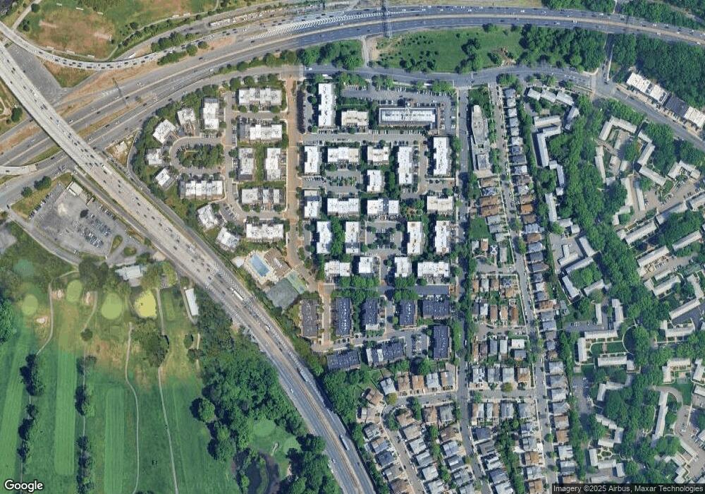
Map
Nearby Homes
- 13-25 Estates Ln Unit 3F
- 12-34 Diane Place Unit 205 U
- 14-04 Michael Place Unit 113 U
- 12-36 Estates Ln Unit 49 L
- 208-06 Robert Rd Unit 2
- 1404 Bonnie Ln Unit 15803
- 12-35 Robin Ln Unit Upper
- 208-08 Estates Dr Unit 22125
- 12-31 Robin Ln Unit Triplex
- 207-30 Jordan Dr Unit 97U
- 13-36 Robin Ln Unit 70 U
- 15-01 Jordan Ct Unit 104M
- 15-01 Jordan Ct Unit 104 U
- 20607 Emily Rd Unit 3
- 210 E 15th St Unit 6K
- 210 E 15th St Unit PHD
- 210 E 15th St Unit 2N
- 210 E 15th St Unit 5G
- 210 E 15th St Unit 6A
- 210 E 15th St
- 13-16 Michael Ct Unit 156L
- 1316 Michael Ct
- 1316 Michael Ct Unit 15
- 13-16 Michael Ct
- 13-16 Michael Ct Unit 158U
- 1316 Michael Ct Unit 1579
- 1316 Michael Ct Unit 1580
- 13-14 Michael Ct
- 13-14 Michael Ct Unit 155 L
- 1314 Michael Ct
- 1314 Michael Ct
- 1314 Michael Ct Unit 1578
- 1314 Michael Ct Unit 1577
- 1314 Michael Ct Unit L
- 1318 Michael Ct
- 1318 Michael Ct
- 1318 Michael Ct Unit 1581
- 1320 Michael Ct Unit 158A
- 1320 Michael Ct
- 1320 Michael Ct