1318 S Mill Rd Spanish Fork, UT 84660
Estimated Value: $741,000 - $1,301,983
5
Beds
5
Baths
1,629
Sq Ft
$627/Sq Ft
Est. Value
About This Home
This home is located at 1318 S Mill Rd, Spanish Fork, UT 84660 and is currently estimated at $1,021,492, approximately $627 per square foot. 1318 S Mill Rd is a home located in Utah County with nearby schools including Riverview Elementary School, Spanish Fork Jr High School, and Spanish Fork High School.
Ownership History
Date
Name
Owned For
Owner Type
Purchase Details
Closed on
Aug 13, 2025
Sold by
Patricia L Davis Family Trust and Davis Patricia L
Bought by
Davis Family Trust and Clark
Current Estimated Value
Purchase Details
Closed on
Jan 15, 2013
Sold by
Davis Marilyn T and Davis Family Trust
Bought by
Davis Marilyn T and Clark Margaret
Purchase Details
Closed on
Sep 18, 2012
Sold by
Davis Marilyn T and Davis Family Trust
Bought by
Davis Marilyn T and Ostler Mary Jane
Create a Home Valuation Report for This Property
The Home Valuation Report is an in-depth analysis detailing your home's value as well as a comparison with similar homes in the area
Home Values in the Area
Average Home Value in this Area
Purchase History
| Date | Buyer | Sale Price | Title Company |
|---|---|---|---|
| Davis Family Trust | -- | Wasatch Land & Title | |
| Davis Marilyn T | -- | None Available | |
| Davis Marilyn T | -- | None Available |
Source: Public Records
Tax History Compared to Growth
Tax History
| Year | Tax Paid | Tax Assessment Tax Assessment Total Assessment is a certain percentage of the fair market value that is determined by local assessors to be the total taxable value of land and additions on the property. | Land | Improvement |
|---|---|---|---|---|
| 2025 | $2,727 | $323,109 | $1,038,000 | $428,000 |
| 2024 | $2,727 | $281,105 | $0 | $0 |
| 2023 | $2,749 | $283,635 | $0 | $0 |
| 2022 | $2,567 | $1,367,200 | $1,053,600 | $313,600 |
| 2021 | $2,425 | $844,400 | $547,400 | $297,000 |
| 2020 | $1,938 | $749,000 | $481,400 | $267,600 |
| 2019 | $1,843 | $548,900 | $281,300 | $267,600 |
| 2018 | $1,700 | $505,200 | $271,300 | $233,900 |
| 2017 | $1,737 | $149,479 | $0 | $0 |
| 2016 | $1,760 | $149,408 | $0 | $0 |
| 2015 | $1,781 | $149,386 | $0 | $0 |
| 2014 | $1,776 | $149,507 | $0 | $0 |
Source: Public Records
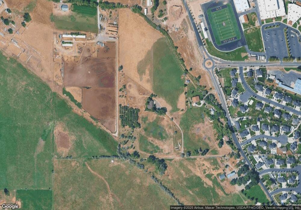
Map
Nearby Homes
- 924 W 1390 S
- 1171 W 800 S Unit 38
- 1152 S 800 W
- 787 W 1120 S
- 1256 W 800 S Unit 25
- 1256 W 800 S
- 1336 W 800 S Unit 22
- Aspen Plan at River Point
- Solitude Plan at River Point
- Snowbasin Plan at River Point
- Telluride Plan at River Point
- Breckenridge Plan at River Point
- Sundance Plan at River Point
- Vail Plan at River Point
- Brighton Plan at River Point
- Powder Mountain Plan at River Point
- Alta Plan at River Point
- Snowbird Plan at River Point
- 1701 Del Monte Rd Unit 21
- 1076 River Hill Dr
- 1196 S Mill Rd
- 1358 S Mill Rd
- 1011 W Academy Dr Unit 20
- 1015 W Academy Dr Unit 18
- 1015 W Academy Dr
- 1282 S Mill Rd
- 1013 W Academy Dr Unit 19
- 1013 W Academy Dr
- 1017 W Academy Dr Unit 17
- 1255 S Mill Rd
- 1255 S Mill Rd Unit 43
- 1001 W Academy Dr Unit 21
- 1001 W Academy Dr
- 1004 W 1300 S Unit 42
- 1331 W 900 S
- 1002 W Academy Dr Unit 16
- 1002 W Academy Dr
- 975 W Academy Dr Unit 22
- 984 W 1300 S Unit 41
- 982 W Academy Dr Unit 14