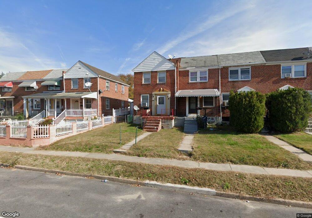
1319 Broening Hwy Baltimore, MD 21224
O'Donnell Heights NeighborhoodEstimated Value: $176,678 - $193,000
3
Beds
1
Bath
--
Sq Ft
2,178
Sq Ft Lot
About This Home
This home is located at 1319 Broening Hwy, Baltimore, MD 21224 and is currently estimated at $184,839. 1319 Broening Hwy is a home located in Baltimore City with nearby schools including Graceland Park-O'Donnell Heights Elementary/Middle School, Booker T. Washington Middle School, and Patterson High School.
Ownership History
Date
Name
Owned For
Owner Type
Purchase Details
Closed on
Jul 11, 2008
Sold by
Vain Bruce C
Bought by
Espinnal Rinelda
Current Estimated Value
Home Financials for this Owner
Home Financials are based on the most recent Mortgage that was taken out on this home.
Original Mortgage
$119,770
Outstanding Balance
$77,267
Interest Rate
6.07%
Mortgage Type
Purchase Money Mortgage
Estimated Equity
$107,572
Purchase Details
Closed on
Aug 24, 2007
Sold by
Vain Bruce C
Bought by
Vain Bruce C
Create a Home Valuation Report for This Property
The Home Valuation Report is an in-depth analysis detailing your home's value as well as a comparison with similar homes in the area
Home Values in the Area
Average Home Value in this Area
Purchase History
| Date | Buyer | Sale Price | Title Company |
|---|---|---|---|
| Espinnal Rinelda | $128,500 | -- | |
| Vain Bruce C | -- | -- |
Source: Public Records
Mortgage History
| Date | Status | Borrower | Loan Amount |
|---|---|---|---|
| Open | Espinnal Rinelda | $119,770 |
Source: Public Records
Tax History Compared to Growth
Tax History
| Year | Tax Paid | Tax Assessment Tax Assessment Total Assessment is a certain percentage of the fair market value that is determined by local assessors to be the total taxable value of land and additions on the property. | Land | Improvement |
|---|---|---|---|---|
| 2025 | $2,628 | $120,500 | $15,000 | $105,500 |
| 2024 | $2,628 | $111,900 | $0 | $0 |
| 2023 | $2,426 | $103,300 | $0 | $0 |
| 2022 | $2,235 | $94,700 | $15,000 | $79,700 |
| 2021 | $2,130 | $90,233 | $0 | $0 |
| 2020 | $1,799 | $85,767 | $0 | $0 |
| 2019 | $1,722 | $81,300 | $15,000 | $66,300 |
| 2018 | $1,753 | $81,300 | $15,000 | $66,300 |
| 2017 | $1,774 | $81,300 | $0 | $0 |
| 2016 | $2,494 | $87,100 | $0 | $0 |
| 2015 | $2,494 | $87,100 | $0 | $0 |
| 2014 | $2,494 | $87,100 | $0 | $0 |
Source: Public Records
Map
Nearby Homes
- 6109 Bessemer Ave
- 1600 Charlotte Ave
- 6424 Bushey St
- 6302 Brown Ave
- 6321 Brown Ave
- 6609 Bushey St
- 6705 Gary Ave
- 724 Umbra St
- 6707 1/2 Gary Ave
- 6714 Boston Ave
- 6620 Bushey St
- 6700 Hudson St
- 5905 O Donnell St
- 705 Tolna St
- 6728 Boston Ave
- 6628 Hartwait St
- 466 Hornel St
- 464 Hornel St
- 625 Savage St
- 714 Rappolla St
- 1321 Broening Hwy
- 1323 Broening Hwy
- 1325 Broening Hwy
- 1327 Broening Hwy
- 1317 Broening Hwy
- 1329 Broening Hwy
- 1315 Broening Hwy
- 1331 Broening Hwy
- 1313 Broening Hwy
- 1333 Broening Hwy
- 1311 Broening Hwy
- 1335 Broening Hwy
- 1309 Broening Hwy
- 1307 Broening Hwy
- 1337 Broening Hwy
- 1305 Broening Hwy
- 1303 Broening Hwy
- 1339 Broening Hwy
- 1341 Broening Hwy
- 1320 Broening Hwy