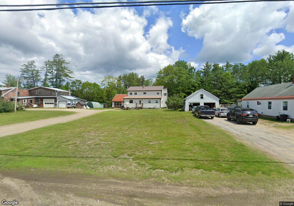
1319 Canton Point Rd Dixfield, ME 04224
Estimated Value: $252,000
Studio
--
Bath
1,104
Sq Ft
$228/Sq Ft
Est. Value
About This Home
This home is located at 1319 Canton Point Rd, Dixfield, ME 04224 and is currently estimated at $252,000, approximately $228 per square foot. 1319 Canton Point Rd is a home with nearby schools including Webb River seventh-day Adventist School.
Ownership History
Date
Name
Owned For
Owner Type
Purchase Details
Closed on
Dec 14, 2021
Sold by
Gurney Holly M and Burgess Timothy R
Bought by
Burgess Timothy R and Burgess Wanda A
Current Estimated Value
Purchase Details
Closed on
Dec 7, 2021
Sold by
Burgess Ft and Burgess
Bought by
Gurney Holly M
Create a Home Valuation Report for This Property
The Home Valuation Report is an in-depth analysis detailing your home's value as well as a comparison with similar homes in the area
Purchase History
| Date | Buyer | Sale Price | Title Company |
|---|---|---|---|
| Burgess Timothy R | -- | None Available | |
| Burgess Timothy R | -- | None Available | |
| Gurney Holly M | -- | None Available | |
| Gurney Holly M | -- | None Available |
Source: Public Records
Tax History
| Year | Tax Paid | Tax Assessment Tax Assessment Total Assessment is a certain percentage of the fair market value that is determined by local assessors to be the total taxable value of land and additions on the property. | Land | Improvement |
|---|---|---|---|---|
| 2025 | $3,387 | $139,100 | $22,600 | $116,500 |
| 2024 | $3,109 | $139,100 | $22,600 | $116,500 |
| 2023 | $2,991 | $139,100 | $22,600 | $116,500 |
| 2022 | $2,991 | $139,100 | $22,600 | $116,500 |
| 2021 | $3,338 | $139,100 | $22,600 | $116,500 |
| 2020 | $3,338 | $139,100 | $22,600 | $116,500 |
| 2019 | $3,750 | $139,100 | $22,600 | $116,500 |
| 2018 | $4,227 | $158,900 | $22,600 | $136,300 |
| 2017 | $3,680 | $165,000 | $27,300 | $137,700 |
| 2016 | $3,317 | $165,000 | $27,300 | $137,700 |
| 2015 | $3,366 | $165,000 | $27,300 | $137,700 |
| 2014 | $3,183 | $164,930 | $27,280 | $137,650 |
| 2013 | $3,208 | $164,930 | $27,280 | $137,650 |
Source: Public Records
Map
Nearby Homes
- 1323 Canton Point Rd
- 1315 Canton Point Rd
- 583 Main St
- 2350 Canton Point Rd
- 591 Main St
- 1309 Canton Point Rd
- 1304 Canton Point Rd
- 607 Main St
- 601 Main St
- 1293 Canton Point Rd
- 1290 Canton Point Rd
- 615 Main St
- 1281 Canton Point Rd
- 614 Main St
- 1275 Canton Point Rd
- 604 Main St
- 1267 Canton Point Rd
- 1308 Canton Point Rd
- 540 Main St
- 1268 Canton Point Rd
Your Personal Tour Guide
Ask me questions while you tour the home.