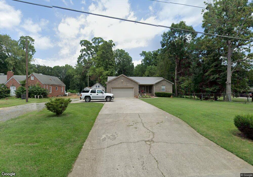
1319 Cedrow Dr High Point, NC 27260
Greater High Point NeighborhoodEstimated Value: $220,000 - $325,000
About This Home
This home is located at 1319 Cedrow Dr, High Point, NC 27260 and is currently estimated at $270,136, approximately $166 per square foot. 1319 Cedrow Dr is a home located in Guilford County with nearby schools including Montlieu Academy of Technology, Welborn Academy of Science & Technology, and T.W. Andrews High School.
Ownership History
We collect this data history from publicly available records. To have your information removed, we recommend requesting removal directly through your county’s website.
Purchase Details
Home Financials for this Owner
Home Financials are based on the most recent Mortgage that was taken out on this home.Home Values in the Area
Average Home Value in this Area
Purchase History
We collect this data history from publicly available records. To have your information removed, we recommend requesting removal directly through your county’s website.
| Date | Buyer | Sale Price | Title Company |
|---|---|---|---|
| $16,000 | -- |
Mortgage History
We collect this data history from publicly available records. To have your information removed, we recommend requesting removal directly through your county’s website.
| Date | Status | Borrower | Loan Amount |
|---|---|---|---|
| Closed | $89,000 |
Tax History
We collect this data history from publicly available records. To have your information removed, we recommend requesting removal directly through your county’s website.
| Year | Tax Paid | Tax Assessment Tax Assessment Total Assessment is a certain percentage of the fair market value that is determined by local assessors to be the total taxable value of land and additions on the property. | Land | Improvement |
|---|---|---|---|---|
| 2025 | $2,695 | $195,600 | $26,100 | $169,500 |
| 2024 | $2,695 | $195,600 | $26,100 | $169,500 |
| 2023 | $2,695 | $195,600 | $26,100 | $169,500 |
| 2022 | $2,699 | $200,200 | $26,100 | $174,100 |
| 2021 | $1,882 | $136,600 | $13,100 | $123,500 |
| 2020 | $1,882 | $136,600 | $13,100 | $123,500 |
| 2019 | $1,882 | $136,600 | $0 | $0 |
| 2018 | $1,873 | $136,600 | $0 | $0 |
| 2017 | $1,882 | $136,600 | $0 | $0 |
| 2016 | $1,847 | $131,700 | $0 | $0 |
| 2015 | $1,857 | $131,700 | $0 | $0 |
| 2014 | $1,889 | $131,700 | $0 | $0 |
Map
- 1006 Gordon St
- 1103 Wayside St
- 1108 Dartmouth Ave
- 524 Ashburn St
- 1606 Boundary Ave
- 1604 Boundary Ave
- 1602 Boundary Ave
- 1456 London Dr
- 1508 Boundary Ave
- 1014 Montlieu Ave
- 1445 Bailey Cir
- 1410 Wiltshire St
- 1511 Davis Ave
- 1528 Graves Ave
- 1415 Wiltshire St
- 1509 & 1511 Wiltshire St
- 505 Kent Ct
- 1701 Gavin Dr
- 1703 Gavin Dr
- 1308 Boundary Ave
- 1317 Cedrow Dr
- 1315 Cedrow Dr
- 1318 Cedrow Dr
- 1324 Cedrow Dr
- 1316 Cedrow Dr
- 1326 Cedrow Dr
- 1323 Cedrow Dr
- 1311 Cedrow Dr
- 1328 Cedrow Dr
- 1310 Cedrow Dr
- 1309 Cedrow Dr
- 1308 Cedrow Dr
- 1313 Dartmouth Ave
- 1311 Dartmouth Ave
- 1309 Dartmouth Ave
- 802 Gordon St
- 1314 Woodhaven Ave
- 804 Gordon St
- 800 Gordon St
- 806 Gordon St
Ask me questions while you tour the home.