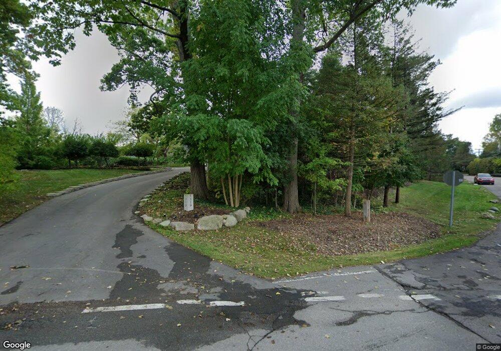
1319 Club Dr Unit Bldg-Unit Bloomfield Hills, MI 48302
Estimated Value: $2,948,554 - $4,059,000
5
Beds
7
Baths
5,688
Sq Ft
$646/Sq Ft
Est. Value
About This Home
This home is located at 1319 Club Dr Unit Bldg-Unit, Bloomfield Hills, MI 48302 and is currently estimated at $3,676,889, approximately $646 per square foot. 1319 Club Dr Unit Bldg-Unit is a home located in Oakland County with nearby schools including Way Elementary School, South Hills Middle School, and Bloomfield Hills High School.
Ownership History
Date
Name
Owned For
Owner Type
Purchase Details
Closed on
Jul 25, 2018
Sold by
Vora Kirit K and Vora Gita K
Bought by
Vora Kirit K and Vora Gita K
Current Estimated Value
Purchase Details
Closed on
Jun 14, 2018
Sold by
Multiple Rentals Llc
Bought by
Vora Kirit K and Vora Gita K
Purchase Details
Closed on
Mar 9, 2018
Sold by
Urbas Donald and Urbas Linda
Bought by
Multiple Rentals Llc
Purchase Details
Closed on
Oct 1, 1998
Sold by
Jaaksi George B
Bought by
Urbas Donald
Create a Home Valuation Report for This Property
The Home Valuation Report is an in-depth analysis detailing your home's value as well as a comparison with similar homes in the area
Home Values in the Area
Average Home Value in this Area
Purchase History
| Date | Buyer | Sale Price | Title Company |
|---|---|---|---|
| Vora Kirit K | -- | None Available | |
| Vora Kirit K | -- | None Available | |
| Multiple Rentals Llc | $2,395,000 | Devon Title Agency | |
| Urbas Donald | -- | -- |
Source: Public Records
Tax History Compared to Growth
Tax History
| Year | Tax Paid | Tax Assessment Tax Assessment Total Assessment is a certain percentage of the fair market value that is determined by local assessors to be the total taxable value of land and additions on the property. | Land | Improvement |
|---|---|---|---|---|
| 2024 | $25,861 | $1,609,730 | $0 | $0 |
| 2023 | $25,026 | $1,365,480 | $0 | $0 |
| 2022 | $47,029 | $1,260,200 | $0 | $0 |
| 2021 | $48,207 | $1,319,830 | $0 | $0 |
| 2020 | $23,631 | $1,339,380 | $0 | $0 |
| 2019 | $45,359 | $1,300,000 | $0 | $0 |
| 2018 | $37,502 | $1,495,800 | $0 | $0 |
| 2017 | $37,179 | $1,430,630 | $0 | $0 |
| 2016 | $37,249 | $1,347,600 | $0 | $0 |
| 2015 | -- | $1,325,540 | $0 | $0 |
| 2014 | -- | $1,143,260 | $0 | $0 |
| 2011 | -- | $900,660 | $0 | $0 |
Source: Public Records
Map
Nearby Homes
- 1250 Club Dr
- 1612 Apple Ln
- 1567 Island Ln
- 00 Mohawk Ct
- 2668 Turtle Lake
- VL Lahser Road Lot 76
- 0001 Mohawk Ct
- 2921 Turtle Pond Ct
- 2670 Turtle Lake Dr
- 2851 Franklin Rd
- 2630 Turtle Lake Dr
- 3377 Indian Summer Dr
- 1723 Heron Ridge Dr
- 1729 Heron Ridge Dr
- 2707 Turtle Lake Dr
- 1735 Heron Ridge Dr
- 1744 Heron Ridge Dr
- 2629 Turtle Shores Dr
- 2623 Turtle Shores
- 1772 Heron Ridge Dr
- 1319 Club Dr
- 1315 Porters Ln
- 1350 Lochridge Rd
- 1311 Porters Ln
- 1314 Porters Ln
- 1424 Lochridge Rd Unit Bldg-Unit
- 1424 Lochridge Rd
- 1307 Porters Ln
- 1433 Lochridge Rd
- 1337 Club Dr
- 1303 Porters Ln
- 1440 Lochridge Rd
- 1441 Lochridge Rd
- 1299 Porters Ln
- 1343 Club Dr
- 1421 Lochridge Rd
- 1347 Club Dr
- 1292 Circle Ct
- 1288 Circle Ct
- 1351 Club Dr
