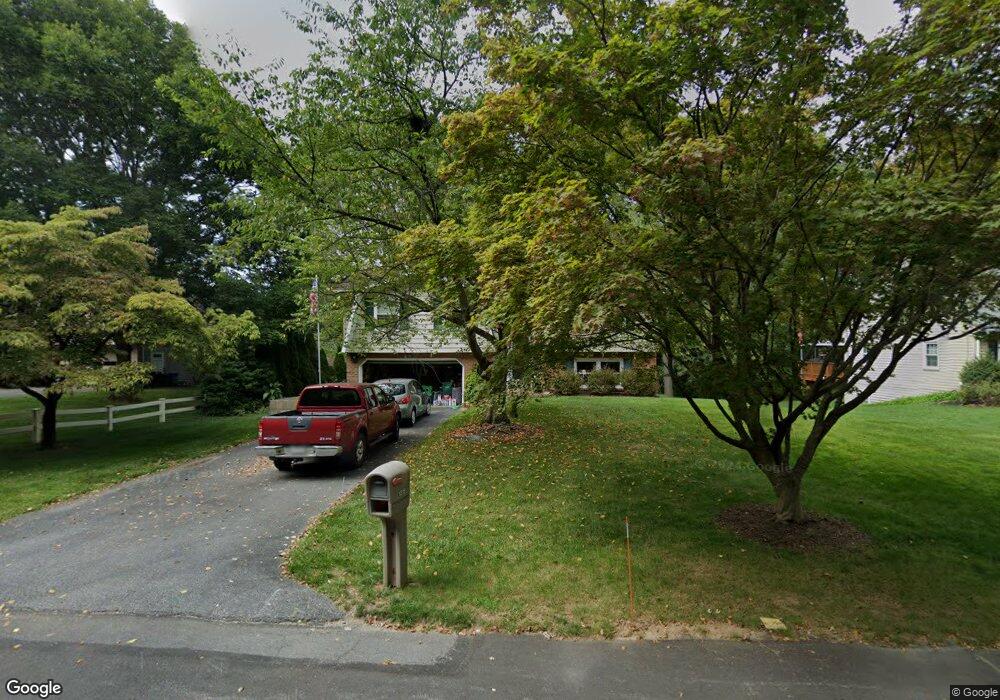
1319 Fieldstead Ln Lancaster, PA 17603
West Lancaster NeighborhoodEstimated Value: $350,068 - $383,000
3
Beds
3
Baths
1,276
Sq Ft
$289/Sq Ft
Est. Value
About This Home
This home is located at 1319 Fieldstead Ln, Lancaster, PA 17603 and is currently estimated at $368,767, approximately $289 per square foot. 1319 Fieldstead Ln is a home located in Lancaster County with nearby schools including Smith-Wade-El Elementary School, Wheatland Middle School, and McCaskey High School.
Ownership History
Date
Name
Owned For
Owner Type
Purchase Details
Closed on
Aug 31, 1999
Sold by
Campbell Larry Lee and Campbell Kathy Lynn
Bought by
Saylor Robert C and Saylor Judith L
Current Estimated Value
Home Financials for this Owner
Home Financials are based on the most recent Mortgage that was taken out on this home.
Original Mortgage
$115,500
Outstanding Balance
$33,401
Interest Rate
7.5%
Estimated Equity
$335,366
Create a Home Valuation Report for This Property
The Home Valuation Report is an in-depth analysis detailing your home's value as well as a comparison with similar homes in the area
Home Values in the Area
Average Home Value in this Area
Purchase History
| Date | Buyer | Sale Price | Title Company |
|---|---|---|---|
| Saylor Robert C | $127,000 | -- |
Source: Public Records
Mortgage History
| Date | Status | Borrower | Loan Amount |
|---|---|---|---|
| Open | Saylor Robert C | $115,500 |
Source: Public Records
Tax History Compared to Growth
Tax History
| Year | Tax Paid | Tax Assessment Tax Assessment Total Assessment is a certain percentage of the fair market value that is determined by local assessors to be the total taxable value of land and additions on the property. | Land | Improvement |
|---|---|---|---|---|
| 2025 | $4,707 | $163,200 | $62,900 | $100,300 |
| 2024 | $4,707 | $163,200 | $62,900 | $100,300 |
| 2023 | $4,598 | $163,200 | $62,900 | $100,300 |
| 2022 | $4,324 | $163,200 | $62,900 | $100,300 |
| 2021 | $4,193 | $163,200 | $62,900 | $100,300 |
| 2020 | $4,193 | $163,200 | $62,900 | $100,300 |
| 2019 | $4,104 | $163,200 | $62,900 | $100,300 |
| 2018 | $3,044 | $163,200 | $62,900 | $100,300 |
| 2017 | $4,129 | $126,300 | $39,900 | $86,400 |
| 2016 | $4,053 | $126,300 | $39,900 | $86,400 |
| 2015 | $548 | $126,300 | $39,900 | $86,400 |
| 2014 | $2,942 | $126,300 | $39,900 | $86,400 |
Source: Public Records
Map
Nearby Homes
- 1303 Cheves Place
- 303 Perry Ave
- 1252 Elm Ave
- 506 Big Bend Rd
- 515 Big Bend Rd
- 338 Atkins Ave
- 1266 Wilson Ave
- 203 Greyfield Dr
- 105 School House Rd
- 120 Atkins Ave
- 102 Clearfield Ct E
- 1011 Maple Ave
- 103 Jemfield Ct
- 110 Clearfield Ct E
- 115 Pheasant Ridge Cir
- 114 Pheasant Ridge Cir
- 80 School House Rd
- 19 Atkins Ave
- 1055 Columbia Ave
- 215 Fawn Meadow Crossing
- 1321 Fieldstead Ln
- 1315 Fieldstead Ln
- 1325 Fieldstead Ln
- 302 Devon Dr
- 1311 Fieldstead Ln
- 1320 Belle Valley Rd
- 1329 Fieldstead Ln
- 303 Devon Dr
- 306 Devon Dr
- 1331 Fieldstead Ln
- 1411 Fieldstead Ln
- 307 Devon Dr
- 1321 Belle Valley Rd
- 1312 Meadowcreek Ln
- 1310 Meadowcreek Ln
- 1314 Meadowcreek Ln
- 320 Abbeyville Rd
- 1308 Meadowcreek Ln
- 310 Devon Dr
- 1316 Meadowcreek Ln