1319 Longbranch Rd Grover, NC 28073
Estimated Value: $190,710 - $265,000
--
Bed
--
Bath
1,064
Sq Ft
$222/Sq Ft
Est. Value
About This Home
This home is located at 1319 Longbranch Rd, Grover, NC 28073 and is currently estimated at $236,678, approximately $222 per square foot. 1319 Longbranch Rd is a home located in Cleveland County with nearby schools including Grover Elementary School, Kings Mountain Middle, and Kings Mountain Intermediate School.
Ownership History
Date
Name
Owned For
Owner Type
Purchase Details
Closed on
Jun 1, 2015
Sold by
Jp Morgan Chase Bank Na
Bought by
J Houston Properties Llc
Current Estimated Value
Purchase Details
Closed on
Feb 6, 2014
Sold by
Billy Erin N
Bought by
Jpmorgan Chase Bank Na
Purchase Details
Closed on
Aug 24, 2005
Sold by
Saucier Jesse L and Saucier Taresa Shands
Bought by
Arthur Allen Carroll
Home Financials for this Owner
Home Financials are based on the most recent Mortgage that was taken out on this home.
Original Mortgage
$61,200
Interest Rate
6.98%
Mortgage Type
Adjustable Rate Mortgage/ARM
Create a Home Valuation Report for This Property
The Home Valuation Report is an in-depth analysis detailing your home's value as well as a comparison with similar homes in the area
Home Values in the Area
Average Home Value in this Area
Purchase History
| Date | Buyer | Sale Price | Title Company |
|---|---|---|---|
| J Houston Properties Llc | $32,500 | None Available | |
| Jpmorgan Chase Bank Na | $24,650 | None Available | |
| Arthur Allen Carroll | $76,500 | None Available |
Source: Public Records
Mortgage History
| Date | Status | Borrower | Loan Amount |
|---|---|---|---|
| Previous Owner | Arthur Allen Carroll | $61,200 |
Source: Public Records
Tax History Compared to Growth
Tax History
| Year | Tax Paid | Tax Assessment Tax Assessment Total Assessment is a certain percentage of the fair market value that is determined by local assessors to be the total taxable value of land and additions on the property. | Land | Improvement |
|---|---|---|---|---|
| 2025 | $823 | $129,654 | $15,140 | $114,514 |
| 2024 | $851 | $96,982 | $13,094 | $83,888 |
| 2023 | $796 | $96,982 | $13,094 | $83,888 |
| 2022 | $792 | $96,982 | $13,094 | $83,888 |
| 2021 | $796 | $96,982 | $13,094 | $83,888 |
| 2020 | $612 | $70,059 | $11,974 | $58,085 |
| 2019 | $602 | $70,059 | $11,974 | $58,085 |
| 2018 | $601 | $70,059 | $11,974 | $58,085 |
| 2017 | $646 | $70,059 | $11,974 | $58,085 |
| 2016 | $615 | $70,059 | $11,974 | $58,085 |
| 2015 | $587 | $66,417 | $10,148 | $56,269 |
| 2014 | $587 | $66,417 | $10,148 | $56,269 |
Source: Public Records
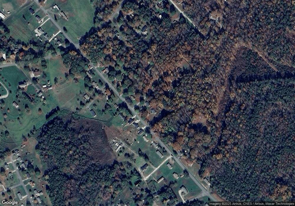
Map
Nearby Homes
- 132 Hicks Rd Unit 1
- 101 Melvin Ct
- 111 Hicks Rd Unit 9
- 210 Roy Bell Rd
- 203 Bethlehem Church Rd
- 00 Bethlehem Church Rd
- 811 Cleveland Ave
- 764 S Battleground Ave
- 105 Elm Rd
- 131 Sam Smith Dr
- 308 M H Camp Hwy
- 101 Park Ln
- 219 Watterson Rd
- 114 Brenda Ct
- 716 Mcdaniel Rd
- 129 Lakeview Dr
- 117 Remington Dr
- 907 Bethlehem Rd
- 00 Bunny Run
- 238 Lakeview Dr
- 1321 Longbranch Rd
- 1315 Longbranch Rd
- 1323 Longbranch Rd
- 1323 Long Branch Rd
- 1314 Long Branch Rd
- 1313 Long Branch Rd
- 1318 Longbranch Rd
- 1316 Long Branch Rd
- 106 Truhlar Dr
- 1311 Longbranch Rd
- 1320 Longbranch Rd
- 1320 Longbranch Rd Unit 4
- 1326 Long Branch Rd
- 103 Truhlar Dr
- 1312 Longbranch Rd
- 1328 Longbranch Rd
- 1309 Longbranch Rd
- 105 Truhlar Dr
- 1330 Long Branch Rd
- 1307 Longbranch Rd