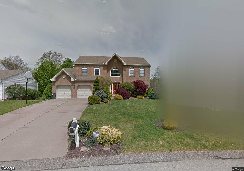
1319 Morgan Cir Canonsburg, PA 15317
Estimated Value: $436,000 - $547,120
4
Beds
4
Baths
2,484
Sq Ft
$199/Sq Ft
Est. Value
About This Home
This home is located at 1319 Morgan Cir, Canonsburg, PA 15317 and is currently estimated at $494,530, approximately $199 per square foot. 1319 Morgan Cir is a home located in Washington County with nearby schools including Canon-Mcmillan Senior High School.
Ownership History
Date
Name
Owned For
Owner Type
Purchase Details
Closed on
May 30, 2007
Sold by
Mauser Darrll
Bought by
Williams Daniel R
Current Estimated Value
Home Financials for this Owner
Home Financials are based on the most recent Mortgage that was taken out on this home.
Original Mortgage
$224,800
Outstanding Balance
$137,405
Interest Rate
6.17%
Mortgage Type
New Conventional
Estimated Equity
$357,125
Create a Home Valuation Report for This Property
The Home Valuation Report is an in-depth analysis detailing your home's value as well as a comparison with similar homes in the area
Home Values in the Area
Average Home Value in this Area
Purchase History
| Date | Buyer | Sale Price | Title Company |
|---|---|---|---|
| Williams Daniel R | $281,000 | -- |
Source: Public Records
Mortgage History
| Date | Status | Borrower | Loan Amount |
|---|---|---|---|
| Open | Williams Daniel R | $224,800 |
Source: Public Records
Tax History Compared to Growth
Tax History
| Year | Tax Paid | Tax Assessment Tax Assessment Total Assessment is a certain percentage of the fair market value that is determined by local assessors to be the total taxable value of land and additions on the property. | Land | Improvement |
|---|---|---|---|---|
| 2025 | $6,192 | $362,200 | $88,700 | $273,500 |
| 2024 | $5,781 | $362,200 | $88,700 | $273,500 |
| 2023 | $5,781 | $362,200 | $88,700 | $273,500 |
| 2022 | $5,764 | $362,200 | $88,700 | $273,500 |
| 2021 | $5,764 | $362,200 | $88,700 | $273,500 |
| 2020 | $5,473 | $362,200 | $88,700 | $273,500 |
| 2019 | $5,382 | $362,200 | $88,700 | $273,500 |
| 2018 | $5,270 | $362,200 | $88,700 | $273,500 |
| 2017 | $1,347 | $362,200 | $88,700 | $273,500 |
| 2016 | $1,347 | $38,613 | $7,256 | $31,357 |
| 2015 | $4,457 | $38,613 | $7,256 | $31,357 |
| 2014 | $1,405 | $38,613 | $7,256 | $31,357 |
| 2013 | $1,405 | $38,613 | $7,256 | $31,357 |
Source: Public Records
Map
Nearby Homes
- 118 Maple Ridge Dr
- 113 Maple Ridge Ct
- 151 Liberty Blvd
- 205 Maple Ridge Dr
- 235 Liberty Blvd
- 238 Maple Ridge Dr
- The Franklin Plan at Southpointe
- The Betsy Ross Plan at Southpointe
- The Washington Plan at Southpointe
- The Grant Plan at Southpointe
- The Hancock Plan at Southpointe
- 1029 Woodlawn Dr
- 454 Independence Way
- 304 Maple Ridge Dr
- 310 Maple Ridge Dr
- 1009 Waterford Ct W
- 1047 Waterford Ct E
- 153 Twilight Dr
- 127 Fairway Landings Dr
- 612 Hunting Creek Rd
- 1321 Morgan Cir
- 1317 Morgan Cir
- 1315 Morgan Cir
- 1318 Morgan Cir
- 1325 Morgan Cir
- 1316 Morgan Cir
- 1313 Morgan Cir
- 1328 Morgan Cir
- 1211 Pioneer Trail
- 1314 Morgan Cir
- 1327 Morgan Cir
- 1212 Pioneer Trail
- 1311 Morgan Cir
- 1207 Pioneer Trail
- 1310 Morgan Cir
- 1332 Morgan Cir
- 1329 Morgan Cir
- 1210 Pioneer Trail
- 1309 Morgan Cir
- 1205 Pioneer Trail