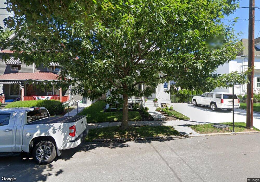
1319 Myrtle St Scranton, PA 18510
Hill Section NeighborhoodEstimated Value: $130,229 - $239,000
Studio
--
Bath
1,582
Sq Ft
$121/Sq Ft
Est. Value
About This Home
This home is located at 1319 Myrtle St, Scranton, PA 18510 and is currently estimated at $191,807, approximately $121 per square foot. 1319 Myrtle St is a home located in Lackawanna County with nearby schools including William Prescott School, Northeast Scranton Intermediate School, and Scranton High School.
Ownership History
Date
Name
Owned For
Owner Type
Purchase Details
Closed on
Oct 1, 2020
Sold by
Santorsa Michael
Bought by
Zanghi Santo D and Zanghi Megan
Current Estimated Value
Home Financials for this Owner
Home Financials are based on the most recent Mortgage that was taken out on this home.
Original Mortgage
$76,800
Outstanding Balance
$59,900
Interest Rate
2.9%
Mortgage Type
New Conventional
Estimated Equity
$131,907
Purchase Details
Closed on
Aug 26, 1996
Bought by
Santorsa Michael
Create a Home Valuation Report for This Property
The Home Valuation Report is an in-depth analysis detailing your home's value as well as a comparison with similar homes in the area
Home Values in the Area
Average Home Value in this Area
Purchase History
We collect this data history from publicly available records. To have your information removed, we recommend requesting removal directly through your county’s website.
| Date | Buyer | Sale Price | Title Company |
|---|---|---|---|
| Zanghi Santo D | $96,000 | None Available | |
| Santorsa Michael | $47,500 | -- |
Source: Public Records
Mortgage History
We collect this data history from publicly available records. To have your information removed, we recommend requesting removal directly through your county’s website.
| Date | Status | Borrower | Loan Amount |
|---|---|---|---|
| Open | Zanghi Santo D | $76,800 |
Source: Public Records
Tax History
| Year | Tax Paid | Tax Assessment Tax Assessment Total Assessment is a certain percentage of the fair market value that is determined by local assessors to be the total taxable value of land and additions on the property. | Land | Improvement |
|---|---|---|---|---|
| 2026 | $22,467 | $140,430 | $31,120 | $109,310 |
| 2025 | $3,775 | $11,000 | $2,951 | $8,049 |
| 2024 | $3,466 | $11,000 | $2,951 | $8,049 |
| 2023 | $3,466 | $11,000 | $2,951 | $8,049 |
| 2022 | $3,390 | $11,000 | $2,951 | $8,049 |
| 2021 | $3,390 | $11,000 | $2,951 | $8,049 |
| 2020 | $3,331 | $11,000 | $2,951 | $8,049 |
| 2019 | $3,138 | $11,000 | $2,951 | $8,049 |
| 2018 | $3,138 | $11,000 | $2,951 | $8,049 |
| 2017 | $3,086 | $11,000 | $2,951 | $8,049 |
| 2016 | $1,093 | $11,000 | $2,951 | $8,049 |
| 2015 | $2,359 | $11,000 | $2,951 | $8,049 |
| 2014 | -- | $11,000 | $2,951 | $8,049 |
Source: Public Records
Map
Nearby Homes
- 917 Taylor Ave
- 1017 Prescott Ave
- 1018 N Webster Ave
- 715 Prescott Ave
- 1028 N Webster Ave
- 1507 Pine St
- 1011 Clay Ave
- 1050 Prescott Ave
- 1107 N Irving Ave
- 900 Wheeler Ave
- 825 827 Quincy Ave Unit 825-827
- 0 Corner Clay & Poplar Unit GSBSC261510
- 7 Oakwood Place
- 617 Harrison Ave
- 846 Monroe Ave
- 922-924 Monroe Ave
- 942 Monroe Ave
- 616-618 Harrison Ave
- 621 Clay Ave
- 1105 Quincy Ave
- 1317 Myrtle St
- 901 N Irving Ave
- 903 N Irving Ave
- 909 N Irving Ave
- 1315 Myrtle St
- 915 N Irving Ave
- 1316 Myrtle St
- 919 N Irving Ave
- 1322 Myrtle St
- 908 Taylor Ave Unit 910
- 908-10 910 Taylor Ave
- 1328 Myrtle St
- 904 Taylor Ave Unit 906
- 1314 Myrtle St
- 910 Taylor Ave
- 923 N Irving Ave Unit L18
- 904-906 Taylor Ave
- 1306 Myrtle St
- 916 Taylor Ave
- 839 N Irving Ave Unit L22
Your Personal Tour Guide
Ask me questions while you tour the home.