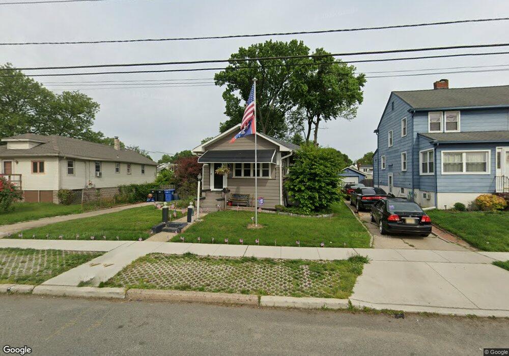
1319 N Broad St West Deptford, NJ 08096
West Deptford Township NeighborhoodEstimated Value: $198,000 - $295,000
--
Bed
--
Bath
1,302
Sq Ft
$189/Sq Ft
Est. Value
About This Home
This home is located at 1319 N Broad St, West Deptford, NJ 08096 and is currently estimated at $246,218, approximately $189 per square foot. 1319 N Broad St is a home located in Gloucester County with nearby schools including Oakview Elementary School, Red Bank Elementary School, and Green-Fields Elementary School.
Ownership History
Date
Name
Owned For
Owner Type
Purchase Details
Closed on
Sep 12, 1998
Sold by
Brown Scott M and Brown Karen R
Bought by
Brown Scott M and Brown Karen R
Current Estimated Value
Purchase Details
Closed on
May 30, 1996
Sold by
Torise Marie
Bought by
Brown Scott M and Brown Karen R
Home Financials for this Owner
Home Financials are based on the most recent Mortgage that was taken out on this home.
Original Mortgage
$58,180
Outstanding Balance
$3,680
Interest Rate
7.89%
Mortgage Type
FHA
Estimated Equity
$242,538
Create a Home Valuation Report for This Property
The Home Valuation Report is an in-depth analysis detailing your home's value as well as a comparison with similar homes in the area
Home Values in the Area
Average Home Value in this Area
Purchase History
| Date | Buyer | Sale Price | Title Company |
|---|---|---|---|
| Brown Scott M | -- | -- | |
| Brown Scott M | $59,900 | Congress Title Corp |
Source: Public Records
Mortgage History
| Date | Status | Borrower | Loan Amount |
|---|---|---|---|
| Open | Brown Scott M | $58,180 |
Source: Public Records
Tax History Compared to Growth
Tax History
| Year | Tax Paid | Tax Assessment Tax Assessment Total Assessment is a certain percentage of the fair market value that is determined by local assessors to be the total taxable value of land and additions on the property. | Land | Improvement |
|---|---|---|---|---|
| 2025 | $4,728 | $135,400 | $35,800 | $99,600 |
| 2024 | $4,667 | $135,400 | $35,800 | $99,600 |
| 2023 | $4,667 | $135,400 | $35,800 | $99,600 |
| 2022 | $4,646 | $135,400 | $35,800 | $99,600 |
| 2021 | $3,351 | $98,000 | $35,800 | $62,200 |
| 2020 | $3,343 | $98,000 | $35,800 | $62,200 |
| 2019 | $3,250 | $98,000 | $35,800 | $62,200 |
| 2018 | $3,161 | $98,000 | $35,800 | $62,200 |
| 2017 | $3,088 | $98,000 | $35,800 | $62,200 |
| 2016 | $3,002 | $98,000 | $35,800 | $62,200 |
| 2015 | $2,956 | $101,300 | $39,100 | $62,200 |
| 2014 | $2,809 | $101,300 | $39,100 | $62,200 |
Source: Public Records
Map
Nearby Homes
- 66 Hessian Ave
- 17 Magnolia St
- 17 Peach St
- 58 Fisher Ave
- 1029 Tatum St
- 120 Progress Ave
- 70 Crescent Ave
- 41 Crescent Ave
- 38 Watkins Ave
- 121 Crescent Ave
- 17 Watkins Ave
- 86 Peach St
- 131 Watkins Ave
- 13 Cordelia Ave
- 33 Dubois Ave
- 541 Elberne Ave
- 1174 Harker Ave
- 1302 Edgewood Ave
- 193 Dubois Ave
- 372 Marion Ave
- 1321 N Broad St
- 1311 N Broad St
- 1323 N Broad St
- 1307 N Broad St
- 18 Elberne Ave
- 1327 N Broad St
- 20 Elberne Ave
- 1316 Mckinley Ave
- 1301 N Broad St
- 24 Elberne Ave
- 1331 N Broad St
- 1324 Mckinley Ave
- 1335 N Broad St
- 1328 Mckinley Ave
- 1214 Broadway
- 1332 Mckinley Ave
- 1339 N Broad St
- 1336 Mckinley Ave
- 13 Elberne Ave
- 15 Elberne Ave