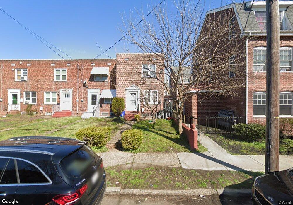
1319 S Merrimac Rd Camden, NJ 08104
Fairview NeighborhoodEstimated Value: $151,194 - $189,000
3
Beds
1
Bath
1,264
Sq Ft
$132/Sq Ft
Est. Value
About This Home
This home is located at 1319 S Merrimac Rd, Camden, NJ 08104 and is currently estimated at $167,299, approximately $132 per square foot. 1319 S Merrimac Rd is a home located in Camden County with nearby schools including Yorkship Elementary School and Camden High School.
Ownership History
Date
Name
Owned For
Owner Type
Purchase Details
Closed on
Aug 31, 2022
Sold by
Serrano Samuel
Bought by
Morlino Leonard
Current Estimated Value
Home Financials for this Owner
Home Financials are based on the most recent Mortgage that was taken out on this home.
Original Mortgage
$90,000
Interest Rate
5.89%
Mortgage Type
New Conventional
Purchase Details
Closed on
Nov 3, 2014
Sold by
Serrano Samuel and Morales Iris B
Bought by
Serrano Samuel
Purchase Details
Closed on
Sep 2, 1999
Sold by
Federal Home Mtg Corp
Bought by
Serrano Samuel and Morales Iris
Create a Home Valuation Report for This Property
The Home Valuation Report is an in-depth analysis detailing your home's value as well as a comparison with similar homes in the area
Home Values in the Area
Average Home Value in this Area
Purchase History
| Date | Buyer | Sale Price | Title Company |
|---|---|---|---|
| Morlino Leonard | $120,000 | Wfg National Title | |
| Morlino Leonard | $120,000 | Wfg National Title | |
| Serrano Samuel | -- | Fidelity Title Abstract Co | |
| Serrano Samuel | $14,000 | -- |
Source: Public Records
Mortgage History
| Date | Status | Borrower | Loan Amount |
|---|---|---|---|
| Previous Owner | Morlino Leonard | $90,000 |
Source: Public Records
Tax History Compared to Growth
Tax History
| Year | Tax Paid | Tax Assessment Tax Assessment Total Assessment is a certain percentage of the fair market value that is determined by local assessors to be the total taxable value of land and additions on the property. | Land | Improvement |
|---|---|---|---|---|
| 2025 | $2,009 | $56,700 | $15,100 | $41,600 |
| 2024 | $1,942 | $56,700 | $15,100 | $41,600 |
| 2023 | $1,942 | $56,700 | $15,100 | $41,600 |
| 2022 | $1,906 | $56,700 | $15,100 | $41,600 |
| 2021 | $1,899 | $56,700 | $15,100 | $41,600 |
| 2020 | $1,803 | $56,700 | $15,100 | $41,600 |
| 2019 | $1,727 | $56,700 | $15,100 | $41,600 |
| 2018 | $1,717 | $56,700 | $15,100 | $41,600 |
| 2017 | $1,675 | $56,700 | $15,100 | $41,600 |
| 2016 | $1,622 | $56,700 | $15,100 | $41,600 |
| 2015 | $1,562 | $56,700 | $15,100 | $41,600 |
| 2014 | $1,524 | $56,700 | $15,100 | $41,600 |
Source: Public Records
Map
Nearby Homes
- 1316 S Merrimac Rd
- 1300 S Merrimac Rd
- 1261 S Merrimac Rd
- 3069 S Chesapeake Rd
- 3079 Alabama Rd
- 3156 Alabama Rd
- 3044 N Merrimac Rd
- 1333 Argus Rd
- 1433 N Chesapeake Rd
- 2931 N Constitution Rd
- 3120 S Constitution Rd
- 2930 N Merrimac Rd
- 2845 N Constitution Rd
- 3204 Alabama Rd
- 3069 S Congress Rd
- 1065 Ironside Rd
- 2909 Yorkship Rd
- 1072 S Merrimac Rd
- 1662 Minnesota Rd
- 1623 Olympia Rd
- 1317 S Merrimac Rd
- 1315 S Merrimac Rd
- 1313 S Merrimac Rd
- 1311 S Merrimac Rd
- 1309 S Merrimac Rd
- 1305 S Merrimac Rd
- 1303 S Merrimac Rd
- 1376 Collings Rd
- 1384 1390 Collings Rd
- 1384-1390 Collings Rd
- 1301 S Merrimac Rd
- 1318 S Merrimac Rd
- 1320 S Merrimac Rd
- 1322 S Merrimac Rd
- 1324 S Merrimac Rd
- 1314 S Merrimac Rd
- 1326 S Merrimac Rd
- 1312 S Merrimac Rd
- 1328 S Merrimac Rd
- 1310 S Merrimac Rd