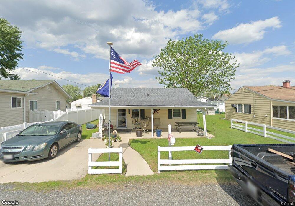
1319 Second Rd Middle River, MD 21220
Estimated Value: $170,205 - $235,000
Studio
1
Bath
672
Sq Ft
$298/Sq Ft
Est. Value
About This Home
This home is located at 1319 Second Rd, Middle River, MD 21220 and is currently estimated at $200,051, approximately $297 per square foot. 1319 Second Rd is a home located in Baltimore County with nearby schools including Hawthorne Elementary School, Stemmers Run Middle School, and Kenwood High.
Ownership History
Date
Name
Owned For
Owner Type
Purchase Details
Closed on
Sep 16, 2022
Sold by
Bonnie Ann C
Bought by
Bonnie Ann C and French Steven E
Current Estimated Value
Purchase Details
Closed on
Mar 30, 2005
Sold by
Mamolito August M
Bought by
French Ann C
Home Financials for this Owner
Home Financials are based on the most recent Mortgage that was taken out on this home.
Original Mortgage
$94,850
Interest Rate
5.7%
Mortgage Type
FHA
Purchase Details
Closed on
Mar 23, 2005
Sold by
Mamolito August M
Bought by
French Ann C
Home Financials for this Owner
Home Financials are based on the most recent Mortgage that was taken out on this home.
Original Mortgage
$94,850
Interest Rate
5.7%
Mortgage Type
FHA
Purchase Details
Closed on
Nov 28, 1990
Sold by
Talley Theodore P
Bought by
Mamolito August M
Create a Home Valuation Report for This Property
The Home Valuation Report is an in-depth analysis detailing your home's value as well as a comparison with similar homes in the area
Home Values in the Area
Average Home Value in this Area
Purchase History
| Date | Buyer | Sale Price | Title Company |
|---|---|---|---|
| Bonnie Ann C | -- | Dulaney Title | |
| Bonnie Ann C | -- | Dulaney Title | |
| French Ann C | $95,600 | -- | |
| French Ann C | $95,600 | -- | |
| Mamolito August M | $68,500 | -- |
Source: Public Records
Mortgage History
| Date | Status | Borrower | Loan Amount |
|---|---|---|---|
| Previous Owner | French Ann C | $94,850 | |
| Previous Owner | French Ann C | $94,850 |
Source: Public Records
Tax History
| Year | Tax Paid | Tax Assessment Tax Assessment Total Assessment is a certain percentage of the fair market value that is determined by local assessors to be the total taxable value of land and additions on the property. | Land | Improvement |
|---|---|---|---|---|
| 2025 | $2,290 | $149,433 | -- | -- |
| 2024 | $2,290 | $138,467 | $0 | $0 |
| 2023 | $2,101 | $127,500 | $59,500 | $68,000 |
| 2022 | $1,380 | $122,533 | $0 | $0 |
| 2021 | $1,914 | $117,567 | $0 | $0 |
| 2020 | $1,365 | $112,600 | $59,500 | $53,100 |
| 2019 | $1,354 | $111,700 | $0 | $0 |
| 2018 | $2,003 | $110,800 | $0 | $0 |
| 2017 | $1,851 | $109,900 | $0 | $0 |
| 2016 | $1,451 | $108,400 | $0 | $0 |
| 2015 | $1,451 | $106,900 | $0 | $0 |
| 2014 | $1,451 | $105,400 | $0 | $0 |
Source: Public Records
Map
Nearby Homes
- 1306 Third Rd
- 21 Dogwood Dr
- 34 Dogwood Dr
- 40 Dogwood Dr
- 1507 Shore Rd
- 60 Dogwood Dr
- 116 Kingston Park Ln
- 725 Kingston Rd
- 2224 Middleborough Rd
- 84 Kingston Park Ln
- 203 Antietam Rd
- 221 Antietam Rd
- 2218 Southorn Rd
- 78 W Kingston Park Ln
- 2222 Graythorn Rd
- 215 Nanticoke Rd
- 522 Grovethorn Rd
- 2162 Vailthorn Rd
- 203 Oak Ave
- 327 Wye Rd
Your Personal Tour Guide
Ask me questions while you tour the home.