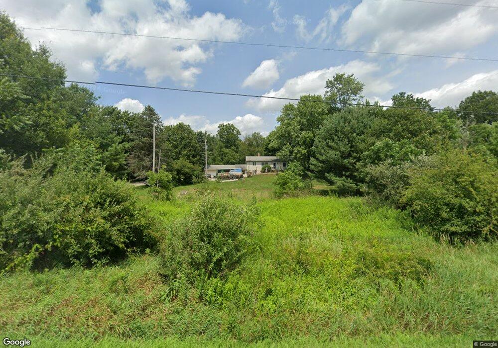
1319 State St NE Canton, OH 44721
Estimated Value: $223,000 - $311,000
3
Beds
3
Baths
1,876
Sq Ft
$146/Sq Ft
Est. Value
About This Home
This home is located at 1319 State St NE, Canton, OH 44721 and is currently estimated at $274,138, approximately $146 per square foot. 1319 State St NE is a home located in Stark County with nearby schools including Lake Middle/High School.
Ownership History
Date
Name
Owned For
Owner Type
Purchase Details
Closed on
Jun 24, 2022
Sold by
Rodd and Laura
Bought by
Rodd Maxwell D and Denlinger Anne J
Current Estimated Value
Home Financials for this Owner
Home Financials are based on the most recent Mortgage that was taken out on this home.
Original Mortgage
$190,000
Outstanding Balance
$157,939
Interest Rate
4.43%
Mortgage Type
Balloon
Estimated Equity
$116,199
Purchase Details
Closed on
Jan 29, 2021
Sold by
Yoder Leroy J
Bought by
Yoder Leroy J and The Leroy J Yoder Revocable Tr
Purchase Details
Closed on
Oct 9, 2020
Sold by
Estate Of Martha Mae Yoder
Bought by
Yoder Leroy J and Martha Mae Yoder Revocable Tru
Create a Home Valuation Report for This Property
The Home Valuation Report is an in-depth analysis detailing your home's value as well as a comparison with similar homes in the area
Purchase History
| Date | Buyer | Sale Price | Title Company |
|---|---|---|---|
| Rodd Maxwell D | $200,000 | Hochman & Potter Llc | |
| Yoder Leroy J | -- | None Available | |
| Yoder Leroy J | -- | None Available |
Source: Public Records
Mortgage History
| Date | Status | Borrower | Loan Amount |
|---|---|---|---|
| Open | Rodd Maxwell D | $190,000 |
Source: Public Records
Tax History
| Year | Tax Paid | Tax Assessment Tax Assessment Total Assessment is a certain percentage of the fair market value that is determined by local assessors to be the total taxable value of land and additions on the property. | Land | Improvement |
|---|---|---|---|---|
| 2025 | -- | $78,650 | $39,970 | $38,680 |
| 2024 | -- | $78,650 | $39,970 | $38,680 |
| 2023 | $3,109 | $65,240 | $24,220 | $41,020 |
| 2022 | $3,119 | $65,240 | $24,220 | $41,020 |
| 2021 | $2,779 | $57,470 | $24,220 | $33,250 |
| 2020 | $2,649 | $49,070 | $20,860 | $28,210 |
| 2019 | $2,626 | $49,080 | $20,870 | $28,210 |
Source: Public Records
Map
Nearby Homes
- 9856 Market Ave N
- 8459 Whitmer Ave NE
- 8140 W Wadora Cir NW
- 2041 Old Elm St NE
- 2187 Old Elm St NE
- 1617 Charolais St NW
- 1762 Charolais St NW
- 7622 Marelis Ave NE
- 1919 Humbert Rd NW
- 1068 Ivy St NW
- 8294 Turquoise Ave NE
- 1170 Smith Kramer St NE
- 2287 Mcginty Rd NW
- 7416 Woodcrest Ave NE
- 0 Market Ave N Unit 5198208
- 0 Market Ave N Unit 5198207
- 1771 Midway St NW
- 2480 State St NW
- 10311 Hunting Hills Ave NE
- 8111 Middlebranch Ave NE
- 1300 State St NE
- 1435 State St NE
- 1435 State St NE
- 1274 State St NE
- 1313 State St NE
- 1330 State St NE
- 1246 State St NE
- 1451 State St NE
- 1195 State St NE
- 1224 State St NE
- 1169 State St NE
- 1460 State St NE
- 9153 Grubb Ct NE
- 1196 State St NE
- 1164 State St NE
- 9189 Grubb Ct NE
- 1133 State St NE
- 1508 State St NE
- 1551 State St NE
- 1078 State St NE
Your Personal Tour Guide
Ask me questions while you tour the home.