Estimated Value: $681,000 - $890,099
Studio
1
Bath
3,775
Sq Ft
$213/Sq Ft
Est. Value
About This Home
This home is located at 1319 Stockton Rd, Joppa, MD 21085 and is currently estimated at $804,775, approximately $213 per square foot. 1319 Stockton Rd is a home located in Harford County with nearby schools including Youths Benefit Elementary School, Fallston Middle School, and Fallston High School.
Ownership History
Date
Name
Owned For
Owner Type
Purchase Details
Closed on
Aug 28, 2009
Sold by
Brocato Philip F
Bought by
Mcbride Jeffrey P and Mc Bride Melinda L
Current Estimated Value
Purchase Details
Closed on
Jun 6, 1997
Sold by
Brocato Frank C
Bought by
Brocato Philip F and Brocato Mary Lou
Purchase Details
Closed on
Dec 4, 1987
Sold by
Brocato Frank C
Bought by
Brocato Frank C
Create a Home Valuation Report for This Property
The Home Valuation Report is an in-depth analysis detailing your home's value as well as a comparison with similar homes in the area
Home Values in the Area
Average Home Value in this Area
Purchase History
| Date | Buyer | Sale Price | Title Company |
|---|---|---|---|
| Mcbride Jeffrey P | $200,000 | -- | |
| Brocato Philip F | -- | -- | |
| Brocato Frank C | $65,000 | -- |
Source: Public Records
Mortgage History
| Date | Status | Borrower | Loan Amount |
|---|---|---|---|
| Closed | Mcbride Jeffrey P | -- |
Source: Public Records
Tax History
| Year | Tax Paid | Tax Assessment Tax Assessment Total Assessment is a certain percentage of the fair market value that is determined by local assessors to be the total taxable value of land and additions on the property. | Land | Improvement |
|---|---|---|---|---|
| 2025 | $7,888 | $805,567 | $0 | $0 |
| 2024 | $7,888 | $743,433 | $0 | $0 |
| 2023 | $7,485 | $681,300 | $117,000 | $564,300 |
| 2022 | $7,295 | $663,867 | $0 | $0 |
| 2021 | $14,711 | $646,433 | $0 | $0 |
| 2020 | $7,319 | $629,000 | $117,000 | $512,000 |
| 2019 | $7,301 | $627,500 | $0 | $0 |
| 2018 | $7,219 | $626,000 | $0 | $0 |
| 2017 | $7,202 | $624,500 | $0 | $0 |
| 2016 | -- | $607,067 | $0 | $0 |
| 2015 | $1,355 | $589,633 | $0 | $0 |
| 2014 | $1,355 | $572,200 | $0 | $0 |
Source: Public Records
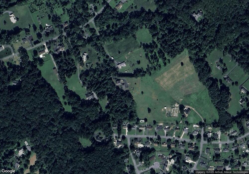
Map
Nearby Homes
- 0 W Wheel Rd Unit MDHR2045912
- 2909 Islay Ct
- 2911 Islay Ct
- 725 Shallow Ridge Ct
- 301 Lothian Way Unit 104
- 525 Kirkcaldy Way
- 2338 Kateland Ct
- 2302 Arthurs Woods Dr
- 2300 Arthurs Woods Dr
- 504 Winter Span Ct
- 460 Deer Hill Cir
- 455 Deer Hill Cir
- 566 Kirkcaldy Way
- 400 Teresa Marie Ct
- 2204 Autumn Glow Ct
- 352 Foreland Garth
- 311 Tiree Ct Unit 401
- 1609 Heims Ln Unit HAWTHORNE
- 1609 Heims Ln
- 0 Hollingsworth Rd
- 1311 Stockton Rd
- 1321 Stockton Rd
- 1502 Lake Vista Dr
- 1317 Stockton Rd
- 1500 Lake Vista Dr
- 1414 Lake Vista Dr
- 1412 Lake Vista Dr
- 1410 Lake Vista Dr
- 1504 Lake Vista Dr
- 1501 Lake Vista Dr
- 1315 Stockton Rd
- 1408 Lake Vista Dr
- 1413 Lake Vista Dr
- 1325 Stockton Rd
- 1323 Stockton Rd
- 1411 Lake Vista Dr
- 1406 Lake Vista Dr
- 2904 Verbena Dr
- 2903 Verbena Dr
- 1409 Lake Vista Dr
Your Personal Tour Guide
Ask me questions while you tour the home.