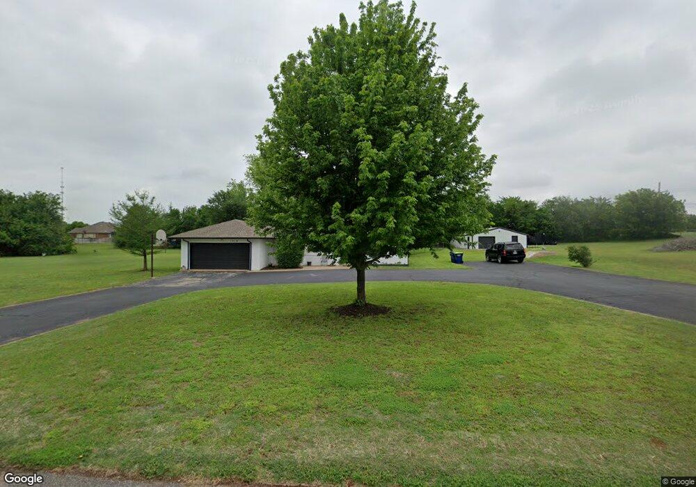
1319 W Hillcrest Dr Mustang, OK 73064
Estimated Value: $320,000 - $485,000
4
Beds
2
Baths
2,240
Sq Ft
$169/Sq Ft
Est. Value
About This Home
This home is located at 1319 W Hillcrest Dr, Mustang, OK 73064 and is currently estimated at $379,018, approximately $169 per square foot. 1319 W Hillcrest Dr is a home located in Canadian County with nearby schools including Mustang Centennial Elementary School, Mustang Horizon Intermediate School, and Mustang Middle School.
Ownership History
Date
Name
Owned For
Owner Type
Purchase Details
Closed on
Nov 20, 2024
Sold by
Cooper Linda R and Cooper Michael D
Bought by
Michael And Linda Cooper Trust and Cooper
Current Estimated Value
Purchase Details
Closed on
Sep 19, 1998
Sold by
Meints Thomas J and Jo Carroll
Bought by
Cooper Michael D and Cooper Linda R
Purchase Details
Closed on
Jul 24, 1992
Sold by
Conversion
Create a Home Valuation Report for This Property
The Home Valuation Report is an in-depth analysis detailing your home's value as well as a comparison with similar homes in the area
Home Values in the Area
Average Home Value in this Area
Purchase History
| Date | Buyer | Sale Price | Title Company |
|---|---|---|---|
| Michael And Linda Cooper Trust | -- | None Listed On Document | |
| Cooper Michael D | $100,000 | -- | |
| -- | $77,500 | -- |
Source: Public Records
Mortgage History
| Date | Status | Borrower | Loan Amount |
|---|---|---|---|
| Previous Owner | Cooper Michael D | $25,000 |
Source: Public Records
Tax History Compared to Growth
Tax History
| Year | Tax Paid | Tax Assessment Tax Assessment Total Assessment is a certain percentage of the fair market value that is determined by local assessors to be the total taxable value of land and additions on the property. | Land | Improvement |
|---|---|---|---|---|
| 2024 | $1,891 | $20,550 | $3,044 | $17,506 |
| 2023 | $1,891 | $19,952 | $2,942 | $17,010 |
| 2022 | $1,855 | $19,371 | $2,913 | $16,458 |
| 2021 | $1,805 | $18,807 | $2,835 | $15,972 |
| 2020 | $1,760 | $18,259 | $2,758 | $15,501 |
| 2019 | $1,706 | $17,727 | $2,646 | $15,081 |
| 2018 | $1,690 | $17,211 | $2,543 | $14,668 |
| 2017 | $1,619 | $16,710 | $2,370 | $14,340 |
| 2016 | $1,572 | $16,710 | $2,382 | $14,328 |
| 2015 | $1,484 | $15,751 | $2,028 | $13,723 |
| 2014 | $1,484 | $15,292 | $1,800 | $13,492 |
Source: Public Records
Map
Nearby Homes
- 520 S Owen Dr
- 10009 SW 39th St
- 10013 SW 39th St
- 11617 SW 56th St
- 716 N Cottontail Way
- 313 N Shannon Way
- 309 N Topaz Way
- 400 N Amethyst Way
- 1315 S Grace Dr
- 401 N Topaz Way
- 850 W Forest Dr
- 844 W Forest Dr
- 1035 W Windsor Way
- 1405 S Dean Dr
- 320 N Jasper Way
- 513 N Shannon Way
- 1809 W Aqua Clear Dr
- 609 N Centennial Way
- 1907 W Cedar Ridge Dr
- 1509 S Clear Springs Rd
- 1320 W Hillcrest Dr
- 1320 W Rose Hill Dr
- 533 S Lariat Dr
- 1330 W Rose Hill Dr
- 616 S Owen Dr
- 615 S Lariat Dr
- 502 S Owen Dr
- 517 S Lariat Dr
- 1319 W Rose Hill Dr
- 1319 W Linden Dr
- 631 S Lariat Dr
- 415 S Lariat Dr
- 716 S Owen Dr
- 519 S Owen Dr
- 402 S Owen Dr
- 615 S Owen Dr
- 1250 W Rancho Dr
- 612 S Lariat Dr
- 725 S Lariat Dr
- 520 S Lariat Dr