1319 W Riverside Dr Mays Landing, NJ 08330
Estimated Value: $518,000 - $757,000
3
Beds
2
Baths
2,000
Sq Ft
$323/Sq Ft
Est. Value
About This Home
This home is located at 1319 W Riverside Dr, Mays Landing, NJ 08330 and is currently estimated at $645,495, approximately $322 per square foot. 1319 W Riverside Dr is a home located in Atlantic County with nearby schools including Weymouth Twp Elementary School, St. Vincent de Paul Regional School, and Mays Landing Baptist Academy.
Ownership History
Date
Name
Owned For
Owner Type
Purchase Details
Closed on
Aug 23, 2013
Sold by
Dubler Margaret
Bought by
Battelini Anthony L and Battelini Katy M
Current Estimated Value
Home Financials for this Owner
Home Financials are based on the most recent Mortgage that was taken out on this home.
Original Mortgage
$231,300
Outstanding Balance
$172,284
Interest Rate
4.43%
Mortgage Type
New Conventional
Estimated Equity
$473,211
Purchase Details
Closed on
Nov 1, 2000
Sold by
Baruffi Dominick P and Baruffi Donna M
Bought by
Dubler Leo B and Dubler Margaret
Home Financials for this Owner
Home Financials are based on the most recent Mortgage that was taken out on this home.
Original Mortgage
$418,000
Interest Rate
7.81%
Purchase Details
Closed on
Sep 26, 1988
Sold by
Foster Robert G and Foster Auldice
Bought by
Baruffi Dominick P
Create a Home Valuation Report for This Property
The Home Valuation Report is an in-depth analysis detailing your home's value as well as a comparison with similar homes in the area
Home Values in the Area
Average Home Value in this Area
Purchase History
| Date | Buyer | Sale Price | Title Company |
|---|---|---|---|
| Battelini Anthony L | $257,000 | Surety Title | |
| Dubler Leo B | $425,000 | -- | |
| Baruffi Dominick P | $272,300 | -- |
Source: Public Records
Mortgage History
| Date | Status | Borrower | Loan Amount |
|---|---|---|---|
| Open | Battelini Anthony L | $231,300 | |
| Previous Owner | Dubler Leo B | $418,000 |
Source: Public Records
Tax History Compared to Growth
Tax History
| Year | Tax Paid | Tax Assessment Tax Assessment Total Assessment is a certain percentage of the fair market value that is determined by local assessors to be the total taxable value of land and additions on the property. | Land | Improvement |
|---|---|---|---|---|
| 2025 | $11,347 | $401,100 | $279,900 | $121,200 |
| 2024 | $11,347 | $401,100 | $279,900 | $121,200 |
| 2023 | $10,878 | $401,100 | $279,900 | $121,200 |
| 2022 | $10,878 | $401,100 | $279,900 | $121,200 |
| 2021 | $10,906 | $401,100 | $279,900 | $121,200 |
| 2020 | $10,589 | $401,100 | $279,900 | $121,200 |
| 2019 | $10,280 | $401,100 | $279,900 | $121,200 |
| 2018 | $10,901 | $431,400 | $279,900 | $151,500 |
| 2017 | $10,953 | $431,400 | $279,900 | $151,500 |
| 2016 | $10,492 | $431,400 | $279,900 | $151,500 |
| 2015 | $10,047 | $431,400 | $279,900 | $151,500 |
| 2014 | $10,768 | $299,700 | $110,000 | $189,700 |
Source: Public Records
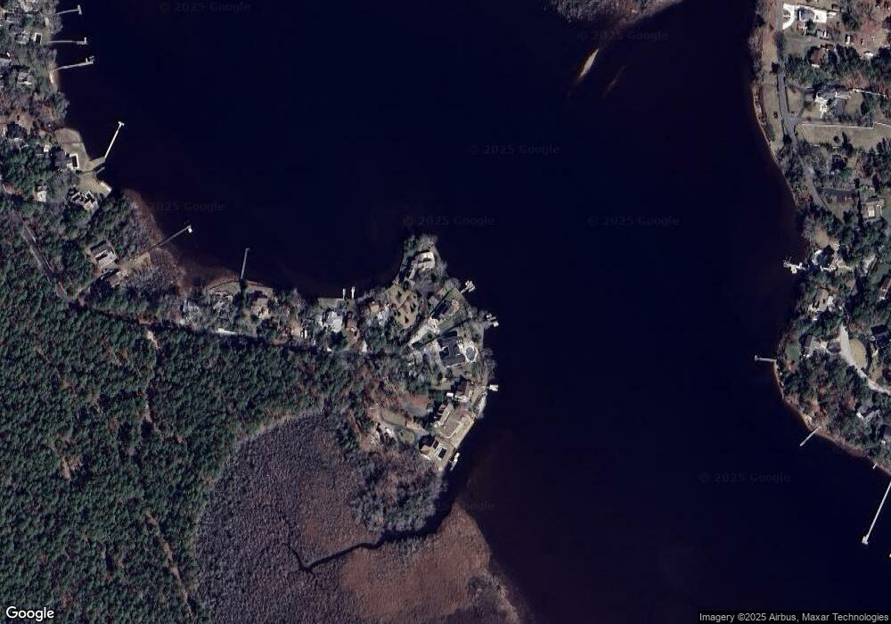
Map
Nearby Homes
- 1319 Riverside Dr
- 1321 Riverside Dr
- 1317 Riverside Dr
- 1315 Riverside Dr
- 1323 Riverside Dr
- 1313 Riverside Dr
- 1325 Riverside Dr
- 1327 Riverside Dr
- 1309 Riverside Dr
- 1305 Riverside Dr
- 1303 Riverside Dr
- 1301 Riverside Dr
- 1231 Riverside Dr
- 1229 Riverside Dr
- 1227 W Riverside Dr
- 412 Highland Dr
- 408 Highland Dr
- 308 Clarkstown Rd
- 1225 Riverside Dr
- 404 Highland Dr