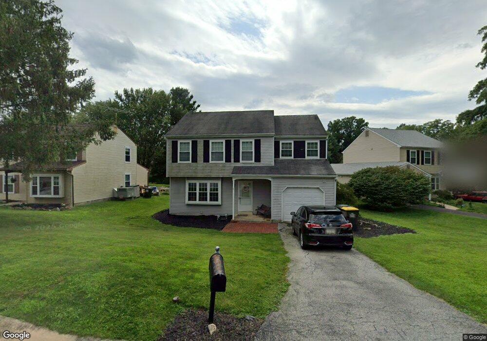
1319 Walker Dr Downingtown, PA 19335
Estimated Value: $495,667 - $542,000
4
Beds
3
Baths
1,872
Sq Ft
$278/Sq Ft
Est. Value
About This Home
This home is located at 1319 Walker Dr, Downingtown, PA 19335 and is currently estimated at $520,917, approximately $278 per square foot. 1319 Walker Dr is a home located in Chester County with nearby schools including West Bradford Elementary School, Downingtown Middle School, and Downingtown High School West.
Ownership History
Date
Name
Owned For
Owner Type
Purchase Details
Closed on
Jul 28, 2001
Sold by
Nelson Catherine M and Nelson James R
Bought by
Nelson Amy and Nelson Mark
Current Estimated Value
Purchase Details
Closed on
Jun 26, 1998
Sold by
Lachman Steven P and Lachman Kim M
Bought by
Nelson Mark and Nelson Amy
Home Financials for this Owner
Home Financials are based on the most recent Mortgage that was taken out on this home.
Original Mortgage
$149,131
Outstanding Balance
$30,758
Interest Rate
7.09%
Mortgage Type
FHA
Estimated Equity
$490,159
Create a Home Valuation Report for This Property
The Home Valuation Report is an in-depth analysis detailing your home's value as well as a comparison with similar homes in the area
Home Values in the Area
Average Home Value in this Area
Purchase History
| Date | Buyer | Sale Price | Title Company |
|---|---|---|---|
| Nelson Amy | -- | -- | |
| Nelson Mark | $149,900 | Manito Title Insurance Compa |
Source: Public Records
Mortgage History
| Date | Status | Borrower | Loan Amount |
|---|---|---|---|
| Open | Nelson Mark | $149,131 |
Source: Public Records
Tax History Compared to Growth
Tax History
| Year | Tax Paid | Tax Assessment Tax Assessment Total Assessment is a certain percentage of the fair market value that is determined by local assessors to be the total taxable value of land and additions on the property. | Land | Improvement |
|---|---|---|---|---|
| 2025 | $4,782 | $138,170 | $31,730 | $106,440 |
| 2024 | $4,782 | $138,170 | $31,730 | $106,440 |
| 2023 | $4,644 | $138,170 | $31,730 | $106,440 |
| 2022 | $4,529 | $138,170 | $31,730 | $106,440 |
| 2021 | $4,454 | $138,170 | $31,730 | $106,440 |
| 2020 | $4,428 | $138,170 | $31,730 | $106,440 |
| 2019 | $4,359 | $138,170 | $31,730 | $106,440 |
| 2018 | $4,359 | $138,170 | $31,730 | $106,440 |
| 2017 | $4,359 | $138,170 | $31,730 | $106,440 |
| 2016 | $4,037 | $138,170 | $31,730 | $106,440 |
| 2015 | $4,037 | $138,170 | $31,730 | $106,440 |
| 2014 | $4,037 | $138,170 | $31,730 | $106,440 |
Source: Public Records
Map
Nearby Homes
- 1667 Beacon Hill Rd
- 1614 Barbara Dr
- 1522 Doyle Dr
- 0 Glenside Rd Unit PACT2071490
- 0 Glenside Rd Unit PACT2071466
- 1128 Isabella Ct
- 1843 Honeysuckle Ct
- 1624 Shadyside Rd
- 1418 Gallagherville Rd
- 1514 Eagle Ridge Dr
- 1888 Boulder Dr
- 1815 Boulder Dr
- 1500 Federal Dr
- 1832 Boulder Dr
- 1846 Boulder Dr
- 1737 Shadyside Rd Unit AP
- 1737 Shadyside Rd
- 1737 Shadyside Rd Unit BP
- 1331 Piedmont Dr
- 1617 S Glenside Rd