13192 Ormond Dr Bristow, VA 20136
Braemar NeighborhoodEstimated Value: $659,000 - $704,049
4
Beds
3
Baths
3,074
Sq Ft
$224/Sq Ft
Est. Value
About This Home
This home is located at 13192 Ormond Dr, Bristow, VA 20136 and is currently estimated at $687,512, approximately $223 per square foot. 13192 Ormond Dr is a home located in Prince William County with nearby schools including Patriot High School, T. Clay Wood Elementary School, and E.H. Marsteller Middle School.
Ownership History
Date
Name
Owned For
Owner Type
Purchase Details
Closed on
Sep 30, 2005
Sold by
Brookfield Dunbarton L L
Bought by
Macharrie William and Macharrie,Cha Nyon
Current Estimated Value
Home Financials for this Owner
Home Financials are based on the most recent Mortgage that was taken out on this home.
Original Mortgage
$380,350
Outstanding Balance
$204,606
Interest Rate
5.84%
Mortgage Type
New Conventional
Estimated Equity
$482,906
Create a Home Valuation Report for This Property
The Home Valuation Report is an in-depth analysis detailing your home's value as well as a comparison with similar homes in the area
Home Values in the Area
Average Home Value in this Area
Purchase History
We collect this data history from publicly available records. To have your information removed, we recommend requesting removal directly through your county’s website.
| Date | Buyer | Sale Price | Title Company |
|---|---|---|---|
| Macharrie William | $475,440 | -- |
Source: Public Records
Mortgage History
We collect this data history from publicly available records. To have your information removed, we recommend requesting removal directly through your county’s website.
| Date | Status | Borrower | Loan Amount |
|---|---|---|---|
| Open | Macharrie William | $380,350 |
Source: Public Records
Tax History
| Year | Tax Paid | Tax Assessment Tax Assessment Total Assessment is a certain percentage of the fair market value that is determined by local assessors to be the total taxable value of land and additions on the property. | Land | Improvement |
|---|---|---|---|---|
| 2025 | $5,489 | $572,400 | $172,100 | $400,300 |
| 2024 | $5,489 | $551,900 | $164,100 | $387,800 |
| 2023 | $5,445 | $523,300 | $150,200 | $373,100 |
| 2022 | $5,419 | $479,000 | $121,100 | $357,900 |
| 2021 | $5,153 | $421,200 | $93,000 | $328,200 |
| 2020 | $6,124 | $395,100 | $93,000 | $302,100 |
| 2019 | $5,822 | $375,600 | $93,000 | $282,600 |
| 2018 | $4,569 | $378,400 | $88,600 | $289,800 |
| 2017 | $4,509 | $364,600 | $88,600 | $276,000 |
| 2016 | $4,414 | $360,200 | $88,600 | $271,600 |
| 2015 | $4,494 | $357,700 | $88,600 | $269,100 |
| 2014 | $4,494 | $359,100 | $88,600 | $270,500 |
Source: Public Records
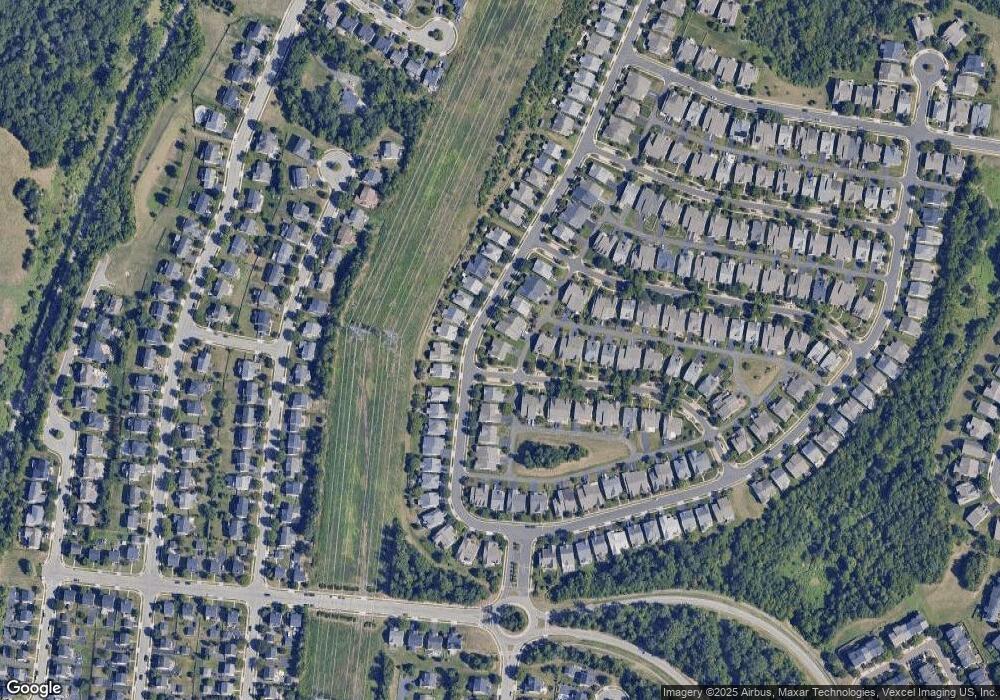
Map
Nearby Homes
- 9502 Moonen Bay Ln
- 9556 Ballagan Ct
- 13791 Tartan Hills Pkwy
- 9799 Tombreck Ct
- 13083 Sidlaw Hills Ln
- 9361 Weathersfield Dr
- 9451 Weathersfield Dr
- 13617 Chapeltown Mews
- 12785 Playfair Ln
- 9712 Seafield Place
- 9716 Seafield Place
- 9909 Broadsword Dr
- 10029 Bonnykelly Ct
- 12905 Aspire Ct
- 9252 Worthington Dr
- 9713 Lennice Way
- 9467 Merrimont Trace Cir
- 12886 Wishing Well Way
- 9063 Falcon Glen Ct
- 9053 Falcon Glen Ct
- 13198 Ormond Dr
- 13200 Ormond Dr
- 13178 Ormond Dr
- 9503 Moonen Bay Ln
- 13204 Ormond Dr
- 13191 Ormond Dr
- 13195 Ormond Dr
- 13187 Ormond Dr
- 13183 Ormond Dr
- 9500 Moonen Bay Ln
- 13199 Ormond Dr
- 13174 Ormond Dr
- 13208 Ormond Dr
- 9507 Moonen Bay Ln
- 13203 Ormond Dr
- 13179 Ormond Dr
- 13210 Ormond Dr
- 9509 Moonen Bay Ln
- 9506 Moonen Bay Ln
- 13170 Ormond Dr
Your Personal Tour Guide
Ask me questions while you tour the home.