132 Acorn Ln Georgetown, PA 15043
Hanover Township NeighborhoodEstimated Value: $351,000 - $484,308
--
Bed
--
Bath
--
Sq Ft
4.99
Acres
About This Home
This home is located at 132 Acorn Ln, Georgetown, PA 15043 and is currently estimated at $414,827. 132 Acorn Ln is a home with nearby schools including South Side El School, South Side Middle School, and South Side High School.
Ownership History
Date
Name
Owned For
Owner Type
Purchase Details
Closed on
Oct 5, 2015
Sold by
Sacoulas Donna and Sacoulas Gregory
Bought by
Musi Samuel J
Current Estimated Value
Home Financials for this Owner
Home Financials are based on the most recent Mortgage that was taken out on this home.
Original Mortgage
$225,000
Outstanding Balance
$177,268
Interest Rate
3.92%
Mortgage Type
Construction
Estimated Equity
$237,559
Purchase Details
Closed on
Jul 25, 2011
Sold by
Sacoulas Donna
Bought by
Sacoulas Donna
Create a Home Valuation Report for This Property
The Home Valuation Report is an in-depth analysis detailing your home's value as well as a comparison with similar homes in the area
Home Values in the Area
Average Home Value in this Area
Purchase History
| Date | Buyer | Sale Price | Title Company |
|---|---|---|---|
| Musi Samuel J | $55,000 | None Available | |
| Sacoulas Donna | -- | None Available |
Source: Public Records
Mortgage History
| Date | Status | Borrower | Loan Amount |
|---|---|---|---|
| Open | Musi Samuel J | $225,000 |
Source: Public Records
Tax History Compared to Growth
Tax History
| Year | Tax Paid | Tax Assessment Tax Assessment Total Assessment is a certain percentage of the fair market value that is determined by local assessors to be the total taxable value of land and additions on the property. | Land | Improvement |
|---|---|---|---|---|
| 2025 | $1,654 | $225,400 | $31,000 | $194,400 |
| 2024 | $6,588 | $225,400 | $31,000 | $194,400 |
| 2023 | $4,475 | $47,150 | $10,000 | $37,150 |
| 2022 | $4,352 | $47,150 | $10,000 | $37,150 |
| 2021 | $4,352 | $47,150 | $10,000 | $37,150 |
| 2020 | $4,227 | $47,150 | $10,000 | $37,150 |
| 2019 | $4,227 | $47,150 | $10,000 | $37,150 |
| 2018 | $4,144 | $47,150 | $10,000 | $37,150 |
| 2017 | $769 | $8,750 | $8,750 | $0 |
| 2016 | $736 | $8,750 | $8,750 | $0 |
| 2015 | $194 | $8,750 | $8,750 | $0 |
| 2014 | $194 | $8,750 | $8,750 | $0 |
Source: Public Records
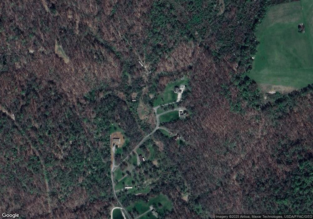
Map
Nearby Homes
- 0 Hardin Run Rd
- 316 Noll Rd
- 139 Hardins Run Rd
- 2463 Frankfort Rd
- 000 Florence Rd
- 139 Kit Dr
- 153 Lowes
- 93 Canfield Dr
- 298 Chapman Rd
- 98 Whispering Pines Ln
- 2341 Hardins Run Rd
- TBD Orchard Rd
- 4711 Veterans Blvd
- 4878 Wylie Ridge Rd
- 354 Frankfort Springs Rd
- 24 Hawthorn Ln
- 32 Locust Hill Rd
- 3 Locust Hill Rd
- 107 Francis Dr
- 1788 Rolling Acres Rd
- 124 Andrews Dr
- 124 Andrews Drive Extension
- 152 Andrews Dr
- 104 Andrews Dr
- 135 Andrews Dr
- 108 Andrews Dr
- 1339 Carson Rd
- 1339 Carson Rd
- 1387 Carson Rd
- 557 Hardins Run Rd
- 547 Hardins Run Rd
- 5035 Hardins Run Rd
- 5035 Hardins Run Rd
- 1222 Carson Rd
- 1380 Carson Rd
- 533 Hardins Run Rd
- 1270 Carson Rd
- 224 Lincoln St
- 124 Lenora Ln
- 124 Lenora Ln