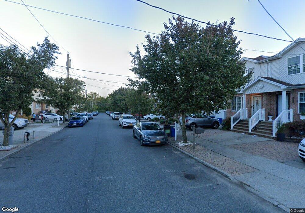
132 Alberta Ave Staten Island, NY 10314
Travis-Chelsea NeighborhoodEstimated Value: $700,000 - $744,000
--
Bed
4
Baths
1,800
Sq Ft
$403/Sq Ft
Est. Value
About This Home
This home is located at 132 Alberta Ave, Staten Island, NY 10314 and is currently estimated at $725,965, approximately $403 per square foot. 132 Alberta Ave is a home located in Richmond County with nearby schools including P.S. 26 The Carteret School, Is 72 Rocco Laurie, and Port Richmond High School.
Ownership History
Date
Name
Owned For
Owner Type
Purchase Details
Closed on
Aug 23, 2004
Sold by
Glm Development Corp
Bought by
Marro Elizabeth
Current Estimated Value
Home Financials for this Owner
Home Financials are based on the most recent Mortgage that was taken out on this home.
Original Mortgage
$239,900
Interest Rate
5.12%
Mortgage Type
Purchase Money Mortgage
Create a Home Valuation Report for This Property
The Home Valuation Report is an in-depth analysis detailing your home's value as well as a comparison with similar homes in the area
Home Values in the Area
Average Home Value in this Area
Purchase History
| Date | Buyer | Sale Price | Title Company |
|---|---|---|---|
| Marro Elizabeth | $345,000 | Multiple |
Source: Public Records
Mortgage History
| Date | Status | Borrower | Loan Amount |
|---|---|---|---|
| Previous Owner | Marro Elizabeth | $239,900 | |
| Closed | Marro Elizabeth | $65,000 |
Source: Public Records
Tax History Compared to Growth
Tax History
| Year | Tax Paid | Tax Assessment Tax Assessment Total Assessment is a certain percentage of the fair market value that is determined by local assessors to be the total taxable value of land and additions on the property. | Land | Improvement |
|---|---|---|---|---|
| 2025 | $6,195 | $45,960 | $4,567 | $41,393 |
| 2024 | $6,195 | $41,760 | $4,742 | $37,018 |
| 2023 | $6,264 | $30,845 | $5,093 | $25,752 |
| 2022 | $6,111 | $37,560 | $6,420 | $31,140 |
| 2021 | $6,078 | $39,060 | $6,420 | $32,640 |
| 2020 | $5,783 | $38,460 | $6,420 | $32,040 |
| 2019 | $5,377 | $36,120 | $6,420 | $29,700 |
| 2018 | $5,240 | $25,704 | $5,523 | $20,181 |
| 2017 | $4,901 | $25,511 | $6,039 | $19,472 |
| 2016 | $4,501 | $24,067 | $5,853 | $18,214 |
| 2015 | $3,806 | $22,705 | $5,052 | $17,653 |
| 2014 | $3,806 | $21,420 | $5,340 | $16,080 |
Source: Public Records
Map
Nearby Homes
- 31 Beresford Ave
- 0 Wild Ave
- 79 Alberta Ave
- 246 Melvin Ave
- 153 Roswell Ave
- 4070 Victory Blvd
- 152 Burke Ave
- 106 Burke Ave
- 104 Burke Ave
- 16 Wild Ave
- 30 Church Ave
- 4358 Victory Blvd
- 15 Church Ave
- 118 Cannon Ave
- 39 Simmons Loop
- 165 Cannon Ave
- 131 Ridgeway Ave
- 53 Calvanico Ln
- 46 Calvanico Ln
- 150 Riche Ave
- 134 Alberta Ave
- 130 Alberta Ave
- 136 Alberta Ave
- 128 Alberta Ave
- 126 Alberta Ave
- 138 Alberta Ave
- 140 Alberta Ave
- 124 Alberta Ave
- 45 Beresford Ave
- 41 Beresford Ave
- 41 Beresford Ave Unit 1
- 47 Beresford Ave
- 39 Beresford Ave
- 49 Beresford Ave
- 142 Alberta Ave
- 122 Alberta Ave
- 37 Beresford Ave
- 51 Beresford Ave
- 35 Beresford Ave
- 120 Alberta Ave