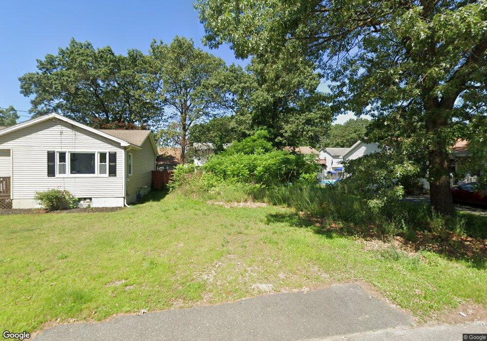
132 Avery St Springfield, MA 01119
Boston Road NeighborhoodEstimated Value: $254,000 - $306,000
3
Beds
2
Baths
1,000
Sq Ft
$283/Sq Ft
Est. Value
About This Home
This home is located at 132 Avery St, Springfield, MA 01119 and is currently estimated at $283,000, approximately $283 per square foot. 132 Avery St is a home located in Hampden County with nearby schools including Frank H. Freedman School, John F. Kennedy Academy, and Springfield Central High School.
Ownership History
Date
Name
Owned For
Owner Type
Purchase Details
Closed on
Jan 13, 2006
Sold by
Carmody Cynthia A and Carmody Michael
Bought by
Sierra Wilfredo
Current Estimated Value
Home Financials for this Owner
Home Financials are based on the most recent Mortgage that was taken out on this home.
Original Mortgage
$122,400
Outstanding Balance
$68,839
Interest Rate
6.28%
Mortgage Type
Purchase Money Mortgage
Estimated Equity
$214,161
Create a Home Valuation Report for This Property
The Home Valuation Report is an in-depth analysis detailing your home's value as well as a comparison with similar homes in the area
Home Values in the Area
Average Home Value in this Area
Purchase History
| Date | Buyer | Sale Price | Title Company |
|---|---|---|---|
| Sierra Wilfredo | $153,000 | -- |
Source: Public Records
Mortgage History
| Date | Status | Borrower | Loan Amount |
|---|---|---|---|
| Open | Sierra Wilfredo | $122,400 | |
| Closed | Sierra Wilfredo | $30,600 |
Source: Public Records
Tax History
| Year | Tax Paid | Tax Assessment Tax Assessment Total Assessment is a certain percentage of the fair market value that is determined by local assessors to be the total taxable value of land and additions on the property. | Land | Improvement |
|---|---|---|---|---|
| 2025 | $674 | $43,000 | $43,000 | $0 |
| 2024 | $646 | $40,200 | $40,200 | $0 |
| 2023 | $653 | $38,300 | $38,300 | $0 |
| 2022 | $721 | $38,300 | $38,300 | $0 |
| 2021 | $658 | $34,800 | $34,800 | $0 |
| 2020 | $680 | $34,800 | $34,800 | $0 |
| 2019 | $685 | $34,800 | $34,800 | $0 |
| 2018 | $685 | $34,800 | $34,800 | $0 |
| 2017 | $684 | $34,800 | $34,800 | $0 |
| 2016 | $684 | $34,800 | $34,800 | $0 |
| 2015 | -- | $34,800 | $34,800 | $0 |
Source: Public Records
Map
Nearby Homes
Your Personal Tour Guide
Ask me questions while you tour the home.