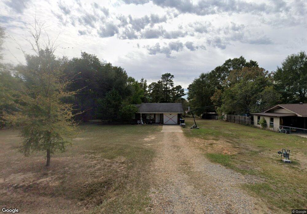
132 Bagwell St Choudrant, LA 71227
Estimated Value: $128,000 - $175,653
Studio
1
Bath
1,138
Sq Ft
$139/Sq Ft
Est. Value
About This Home
This home is located at 132 Bagwell St, Choudrant, LA 71227 and is currently estimated at $157,663, approximately $138 per square foot. 132 Bagwell St is a home located in Lincoln Parish with nearby schools including Choudrant Elementary School, Choudrant High School, and Ruston Junior High School.
Ownership History
Date
Name
Owned For
Owner Type
Purchase Details
Closed on
Mar 14, 2024
Sold by
Price Michael Dwayne and Price Shannon
Bought by
Freeman Properties Llc
Current Estimated Value
Purchase Details
Closed on
Jul 21, 2017
Sold by
Bates Frederick W and Bates Patricia Evans
Bought by
Posey Properties Llc
Purchase Details
Closed on
Dec 31, 2010
Sold by
Fleming Collinsworth Paula Rene and Fleming Bates Paula Rene
Bought by
Bates Frederick Winn
Create a Home Valuation Report for This Property
The Home Valuation Report is an in-depth analysis detailing your home's value as well as a comparison with similar homes in the area
Purchase History
| Date | Buyer | Sale Price | Title Company |
|---|---|---|---|
| Freeman Properties Llc | $80,000 | None Listed On Document | |
| Posey Properties Llc | $80,000 | None Available | |
| Bates Frederick Winn | -- | None Available |
Source: Public Records
Tax History
| Year | Tax Paid | Tax Assessment Tax Assessment Total Assessment is a certain percentage of the fair market value that is determined by local assessors to be the total taxable value of land and additions on the property. | Land | Improvement |
|---|---|---|---|---|
| 2025 | $879 | $11,377 | $2,360 | $9,017 |
| 2024 | $879 | $11,377 | $2,360 | $9,017 |
| 2023 | $766 | $9,530 | $2,485 | $7,045 |
| 2022 | $761 | $9,530 | $2,485 | $7,045 |
| 2021 | $748 | $9,530 | $2,485 | $7,045 |
| 2020 | $712 | $9,048 | $2,485 | $6,563 |
| 2019 | $722 | $9,048 | $2,485 | $6,563 |
| 2018 | $723 | $9,048 | $2,485 | $6,563 |
| 2017 | $725 | $9,048 | $2,485 | $6,563 |
| 2016 | $740 | $0 | $0 | $0 |
| 2015 | $678 | $7,671 | $2,100 | $5,571 |
| 2013 | $688 | $7,671 | $2,100 | $5,571 |
Source: Public Records
Map
Nearby Homes
- 219 Lamar Rd
- 0 N Depot St
- 106 Tes Dr
- 510 Louisiana 556
- 500 Hogan Rd
- 00 Cheatwood Rd
- 165 Loblolly Ln
- 634 Cheatwood Rd
- 120 Lanes End Dr
- 448 Loblolly Ln
- 0 Spillers Rd
- 00 Par Road 43
- 0A Shortstraw R Par Road 404
- 0C SHortstraw Par Road 404
- 1950 Louisiana 821
- 120 Douglas Ln
- 201 Vintage Ln
- 116 Par Road 48
- 0 Bradford Rd
- Street Address Par Road 48
Your Personal Tour Guide
Ask me questions while you tour the home.