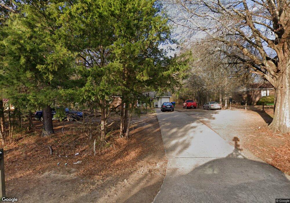
132 Barnesville Rd Griffin, GA 30224
Spalding County NeighborhoodEstimated Value: $143,965 - $231,000
3
Beds
1
Bath
1,075
Sq Ft
$181/Sq Ft
Est. Value
About This Home
This home is located at 132 Barnesville Rd, Griffin, GA 30224 and is currently estimated at $194,241, approximately $180 per square foot. 132 Barnesville Rd is a home located in Spalding County with nearby schools including Jackson Road Elementary School, Kennedy Road Middle School, and Spalding High School.
Ownership History
Date
Name
Owned For
Owner Type
Purchase Details
Closed on
Jun 2, 1995
Sold by
Moore Gene
Bought by
Evans Larry Dianna
Current Estimated Value
Purchase Details
Closed on
Apr 29, 1985
Sold by
Moore Gene E
Bought by
Moore Lillie Faye and Moore Gene E
Purchase Details
Closed on
Jun 26, 1979
Sold by
Williams James T and Williams Margaret D
Bought by
Parker Parker J and Parker Evelyn K
Purchase Details
Closed on
Jan 14, 1972
Sold by
Imperial Homes Const Co
Bought by
Williams James T and Williams Margaret D
Create a Home Valuation Report for This Property
The Home Valuation Report is an in-depth analysis detailing your home's value as well as a comparison with similar homes in the area
Home Values in the Area
Average Home Value in this Area
Purchase History
| Date | Buyer | Sale Price | Title Company |
|---|---|---|---|
| Evans Larry Dianna | $40,000 | -- | |
| Moore Lillie Faye | -- | -- | |
| Moore Gene E | $31,000 | -- | |
| Parker Parker J | $7,600 | -- | |
| Williams James T | $16,500 | -- |
Source: Public Records
Tax History Compared to Growth
Tax History
| Year | Tax Paid | Tax Assessment Tax Assessment Total Assessment is a certain percentage of the fair market value that is determined by local assessors to be the total taxable value of land and additions on the property. | Land | Improvement |
|---|---|---|---|---|
| 2024 | $1,046 | $29,198 | $4,800 | $24,398 |
| 2023 | $994 | $27,341 | $4,800 | $22,541 |
| 2022 | $820 | $22,540 | $3,600 | $18,940 |
| 2021 | $750 | $20,620 | $3,600 | $17,020 |
| 2020 | $752 | $20,620 | $3,600 | $17,020 |
| 2019 | $768 | $20,620 | $3,600 | $17,020 |
| 2018 | $726 | $18,998 | $3,600 | $15,398 |
| 2017 | $706 | $18,998 | $3,600 | $15,398 |
| 2016 | $719 | $18,998 | $3,600 | $15,398 |
| 2015 | $740 | $18,998 | $3,600 | $15,398 |
| 2014 | $755 | $18,998 | $3,600 | $15,398 |
Source: Public Records
Map
Nearby Homes
- 122 Barnesville Rd
- 3806 High Falls Rd
- 4305 High Falls Rd
- 309 Mangham Rd
- 287 Mangham Rd
- 121 Pinedale Cir
- 1103 Stiles Crossing
- 3128 High Falls Rd
- 4771 High Falls Rd
- 2613 Rehoboth Rd
- 233 Fenner Rd
- 320 Buck Creek Rd
- 0 Chehaw Rd Unit 10594275
- 0 Chehaw Rd Unit 10594272
- 220 Eve Cir
- 2642 High Falls Rd
- 108 Timber Ridge Dr
- 106 Big Buck Ct
- 104 Willow Creek Dr
- 141 High Ridge Trail
- 144 Barnesville Rd
- 23 Woodland Rd
- 106 Barnesville Rd
- 162 Barnesville Rd
- 27 Woodland Rd
- 20 Woodland Rd
- 98 Barnesville Rd
- 31 Woodland Rd
- 166 Barnesville Rd
- 170 Barnesville Rd
- 84 Barnesville Rd
- 0 Woodland Rd
- 74 Barnesville Rd
- 49 Woodland Rd
- 35 Woodland Rd
- 85 Barnesville Rd
- 32 Woodland Rd
- 172 Barnesville Rd
- 66 Barnesville Rd
- 34 Woodland Rd
