132 Bay Point Rd Swansea, MA 02777
South Swansea NeighborhoodEstimated Value: $1,152,000 - $1,822,000
5
Beds
5
Baths
4,458
Sq Ft
$355/Sq Ft
Est. Value
About This Home
This home is located at 132 Bay Point Rd, Swansea, MA 02777 and is currently estimated at $1,580,410, approximately $354 per square foot. 132 Bay Point Rd is a home located in Bristol County with nearby schools including Joseph Case High School and Swansea Wood School.
Ownership History
Date
Name
Owned For
Owner Type
Purchase Details
Closed on
Jul 11, 2022
Sold by
Munro Dean and Munro Lori
Bought by
Dlm Re Hld Llc
Current Estimated Value
Purchase Details
Closed on
Dec 9, 2021
Sold by
Bay Point Road Nt
Bought by
Munro Dean and Munro Lori
Purchase Details
Closed on
Oct 2, 2009
Sold by
Lincoln Henry C and Lincoln Grace R
Bought by
Lincoln Tr Henry C and Lincoln Grace R
Create a Home Valuation Report for This Property
The Home Valuation Report is an in-depth analysis detailing your home's value as well as a comparison with similar homes in the area
Home Values in the Area
Average Home Value in this Area
Purchase History
| Date | Buyer | Sale Price | Title Company |
|---|---|---|---|
| Dlm Re Hld Llc | -- | None Available | |
| Munro Dean | $1,300,000 | None Available | |
| Lincoln Tr Henry C | -- | -- |
Source: Public Records
Tax History Compared to Growth
Tax History
| Year | Tax Paid | Tax Assessment Tax Assessment Total Assessment is a certain percentage of the fair market value that is determined by local assessors to be the total taxable value of land and additions on the property. | Land | Improvement |
|---|---|---|---|---|
| 2025 | $16,259 | $1,364,000 | $951,000 | $413,000 |
| 2024 | $20,744 | $1,730,100 | $918,100 | $812,000 |
| 2023 | $18,335 | $1,396,385 | $632,785 | $763,600 |
| 2022 | $17,338 | $1,204,860 | $576,060 | $628,800 |
| 2021 | $17,719 | $1,133,660 | $576,060 | $557,600 |
| 2020 | $17,542 | $1,125,900 | $576,100 | $549,800 |
| 2019 | $16,974 | $1,094,400 | $514,900 | $579,500 |
| 2018 | $15,894 | $1,040,200 | $522,100 | $518,100 |
| 2017 | $13,738 | $1,034,500 | $522,100 | $512,400 |
| 2016 | $13,494 | $998,100 | $477,400 | $520,700 |
| 2015 | $13,091 | $997,000 | $477,400 | $519,600 |
| 2014 | $12,308 | $958,600 | $477,400 | $481,200 |
Source: Public Records
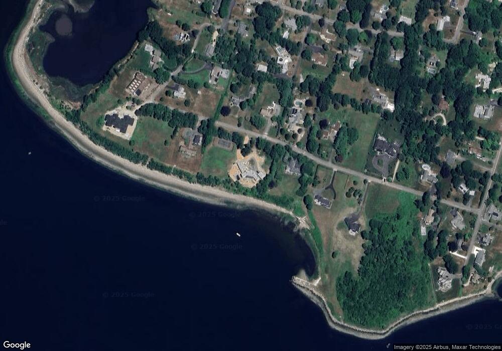
Map
Nearby Homes
- 1366 Gardners Neck Rd
- 1220 Gardners Neck Rd
- 41,43,& 55 Laurel Ave
- 115 Gardner Ave
- 11 Stonegate Rd
- 32 Veranda Ave
- 296 Ocean Grove Ave
- 22 Louis St
- 110 Seaview Ave
- 193 Linden St
- 7 Ocean View Ave
- 40 Clancy St
- 95 Winslow Way
- 19 Keller Ave
- 4 Wendell St
- 264 Oneil Rd
- 15 Chace Ave
- 12 Ripley St
- 60 Barrows St
- 458 Kenneth Ave
- 112 Bay Point Rd
- 135 Bay Point Rd
- 168 Bay Point Rd
- 117 Bay Point Rd
- 149 Bay Point Rd
- 98 Bay Point Rd
- 101 Bay Point Rd
- 225 Bay Point Rd
- 211 Bay Point Rd
- 18 Meadow Ln
- 89 Cedar Cove Ln
- 78 Bay Point Rd
- 22 Meadow Ln
- 71 Bay Point Rd
- 200 Bay Point Rd
- 222 Bay Point Rd
- 72 Cedar Cove Ln
- 136 Cedar Cove Rd
- 250 Bay Point Rd
- 97 Cedar Cove Ln