132 Bitter Root Cir Rutherfordton, NC 28139
Estimated Value: $336,477 - $426,000
--
Bed
--
Bath
1,232
Sq Ft
$314/Sq Ft
Est. Value
About This Home
This home is located at 132 Bitter Root Cir, Rutherfordton, NC 28139 and is currently estimated at $386,619, approximately $313 per square foot. 132 Bitter Root Cir is a home with nearby schools including Rutherfordton Elementary School, R.S. Middle School, and R-S Central High School.
Ownership History
Date
Name
Owned For
Owner Type
Purchase Details
Closed on
Dec 20, 2005
Sold by
Mtn Creek Land Co Inc
Bought by
Martinez Francisco A and Martinez Dora M
Current Estimated Value
Home Financials for this Owner
Home Financials are based on the most recent Mortgage that was taken out on this home.
Original Mortgage
$35,910
Outstanding Balance
$20,020
Interest Rate
6.23%
Mortgage Type
Future Advance Clause Open End Mortgage
Estimated Equity
$366,599
Create a Home Valuation Report for This Property
The Home Valuation Report is an in-depth analysis detailing your home's value as well as a comparison with similar homes in the area
Home Values in the Area
Average Home Value in this Area
Purchase History
| Date | Buyer | Sale Price | Title Company |
|---|---|---|---|
| Martinez Francisco A | $40,000 | None Avilebel |
Source: Public Records
Mortgage History
| Date | Status | Borrower | Loan Amount |
|---|---|---|---|
| Open | Martinez Francisco A | $35,910 |
Source: Public Records
Tax History Compared to Growth
Tax History
| Year | Tax Paid | Tax Assessment Tax Assessment Total Assessment is a certain percentage of the fair market value that is determined by local assessors to be the total taxable value of land and additions on the property. | Land | Improvement |
|---|---|---|---|---|
| 2025 | $1,899 | $305,900 | $68,900 | $237,000 |
| 2024 | $1,669 | $305,900 | $68,900 | $237,000 |
| 2023 | $1,335 | $305,900 | $68,900 | $237,000 |
| 2022 | $1,335 | $193,100 | $41,000 | $152,100 |
| 2021 | $1,296 | $193,100 | $41,000 | $152,100 |
| 2020 | $1,296 | $193,100 | $41,000 | $152,100 |
| 2019 | $1,288 | $193,100 | $41,000 | $152,100 |
| 2018 | $1,112 | $164,200 | $30,000 | $134,200 |
| 2016 | $97 | $14,400 | $14,400 | $0 |
| 2013 | -- | $14,400 | $14,400 | $0 |
Source: Public Records
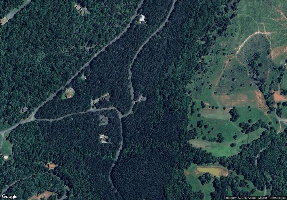
Map
Nearby Homes
- 0 Cross Creek Dr Unit 277
- 0 Cross Creek Dr Unit 67 CAR4272789
- 0 Cross Creek Dr Unit 261 CAR4231323
- 0 Cross Creek Dr Unit 136A CAR4219953
- 0 Cross Creek Dr Unit 68 CAR4209838
- 0000 Creekside Cir Unit 135
- 0 Creekside Cir Unit 120 CAR4263148
- 0 Creekside Cir Unit 110 CAR4219289
- 0 Creekside Cir Unit 129 CAR4217337
- 0 Creekside Cir Unit 126 CAR4215345
- 0 Desota Ridge Unit 361 CAR4227617
- 160 Northridge Dr
- 00 Creekside Cir Unit 94
- 00 Creekside Cir Unit 95
- 00 Creekside Cir
- 0 Chimney Creek Ln Unit 194 CAR3897982
- 0 Clearwater Pkwy Unit 203 CAR4272736
- 0 Clearwater Pkwy Unit CAR4245375
- 0 Clearwater Pkwy Unit 358 CAR4240927
- 0 Clearwater Pkwy Unit 238 CAR4222961
- 000 Bitterroot Cir
- 683 Clearwater Pkwy
- 702 Clearwater Pkwy
- 649 Clearwater Pkwy
- Lot# 302 Bitterroot Cir
- Lot #230 Bitteroot Cir
- 0 Bitter Root Cir Unit CAR3896029
- 0 Bitter Root Cir Unit 234 CAR3834798
- Lot 215 Bitterroot Cir Unit 215
- Lot#230 Bitterroot Cir
- Lot 216 Bitterroot Cir
- Lot 212 Bitterroot Cir
- Lot 215 Bitterroot Cir
- Lots 217 & 231 Bitterroot Cir
- Lot#228 Bitterroot Cir
- 130 Cross Creek Dr Unit 238
- 130 Cross Creek Dr
- 99999 Bitterroot Cir Unit 229
- 227 Bitterroot Cir
- 227 Bitterroot Cir Unit 227