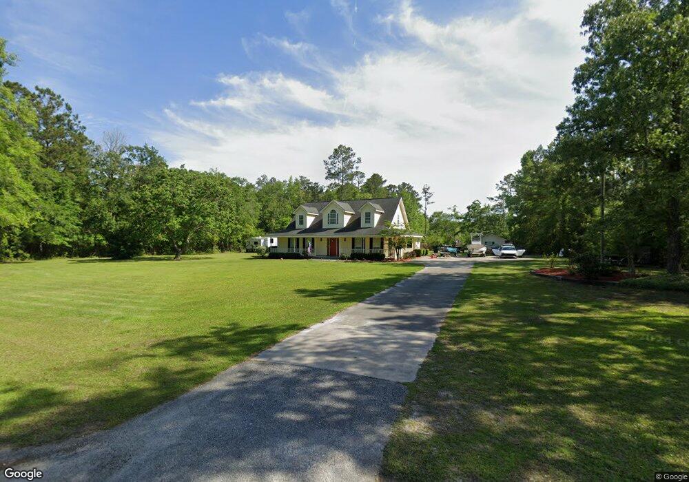
132 Bluegill Ave Kingsland, GA 31548
Estimated Value: $360,000 - $429,000
4
Beds
3
Baths
2,452
Sq Ft
$160/Sq Ft
Est. Value
About This Home
This home is located at 132 Bluegill Ave, Kingsland, GA 31548 and is currently estimated at $392,127, approximately $159 per square foot. 132 Bluegill Ave is a home located in Camden County with nearby schools including Kingsland Elementary School, Camden Middle School, and Camden County High School.
Ownership History
Date
Name
Owned For
Owner Type
Purchase Details
Closed on
Jul 27, 2016
Sold by
Palmer Lisa M
Bought by
Jenkins Kevin D and Jenkins Nichole R
Current Estimated Value
Home Financials for this Owner
Home Financials are based on the most recent Mortgage that was taken out on this home.
Original Mortgage
$267,697
Outstanding Balance
$211,847
Interest Rate
3.48%
Mortgage Type
VA
Estimated Equity
$180,280
Create a Home Valuation Report for This Property
The Home Valuation Report is an in-depth analysis detailing your home's value as well as a comparison with similar homes in the area
Home Values in the Area
Average Home Value in this Area
Purchase History
| Date | Buyer | Sale Price | Title Company |
|---|---|---|---|
| Jenkins Kevin D | $267,697 | -- |
Source: Public Records
Mortgage History
| Date | Status | Borrower | Loan Amount |
|---|---|---|---|
| Open | Jenkins Kevin D | $267,697 |
Source: Public Records
Tax History Compared to Growth
Tax History
| Year | Tax Paid | Tax Assessment Tax Assessment Total Assessment is a certain percentage of the fair market value that is determined by local assessors to be the total taxable value of land and additions on the property. | Land | Improvement |
|---|---|---|---|---|
| 2025 | -- | $134,042 | $24,960 | $109,082 |
| 2024 | -- | $125,082 | $16,000 | $109,082 |
| 2023 | $2,660 | $93,004 | $8,000 | $85,004 |
| 2022 | $2,660 | $87,129 | $8,000 | $79,129 |
| 2021 | $1,896 | $72,194 | $8,000 | $64,194 |
| 2020 | $1,950 | $70,703 | $8,000 | $62,703 |
| 2019 | $1,965 | $70,703 | $8,000 | $62,703 |
| 2018 | $1,766 | $70,703 | $8,000 | $62,703 |
| 2017 | $1,799 | $62,940 | $6,000 | $56,940 |
| 2016 | $1,484 | $62,761 | $6,000 | $56,761 |
| 2015 | $1,439 | $62,761 | $6,000 | $56,761 |
| 2014 | $1,450 | $62,761 | $6,000 | $56,761 |
Source: Public Records
Map
Nearby Homes
- 886 River Landing Dr
- 856 River Landing Dr
- 284 Landing Dr
- 69 Creek Ln
- 143 Breakwater Loop
- 635 Breakwater Loop
- 122 Breakwater Loop
- 101 Starboard Ct
- 111 Starboard Ct
- 207 Starboard Ct
- 208 Starboard Ct
- 0 Breakwater Loop Unit 25764630
- 0 Breakwater Loop Unit 25823211
- 130 Breakwater Loop
- 144 Breakwater Loop
- 4241 Oakhill Church Rd
- 109 Wave Break Ct
- 303 Bulkhead Dr
- 410 Northshore Dr
- The Camilla Plan at Northshore - St. Marys River
- 119 Bluegill Ave
- 90 Bass Ave
- 992 River Landing Rd
- 0 Temple Creek Dr Unit 8389816
- 60 Bass Ave
- 0 Bass Ave Unit 20116942
- 16 Bass Ave
- 0 Temple Landing Rd Unit 2 7168641
- 1011 River Landing Rd
- 1109 River Landing Rd
- 1170 River Landing Rd
- 101 Shellcracker St
- 95 Temple Landing
- 0 Bream Ave Unit 10288437
- 0 Bream Ave Unit 20116952
- 1185 River Landing Rd
- 146 Temple Landing
- 1238 River Landing Rd
- 65 Temple Landing
- 831 Greenville Rd