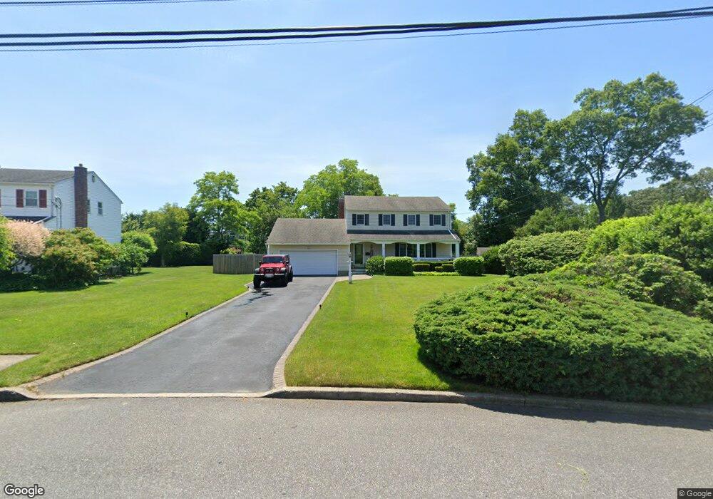
132 Boylan Ln N Blue Point, NY 11715
Estimated Value: $823,849 - $992,000
4
Beds
2
Baths
2,114
Sq Ft
$438/Sq Ft
Est. Value
About This Home
This home is located at 132 Boylan Ln N, Blue Point, NY 11715 and is currently estimated at $925,212, approximately $437 per square foot. 132 Boylan Ln N is a home located in Suffolk County with nearby schools including James Wilson Young Middle School, Bayport Blue Point High School, and West Sayville Christian School.
Ownership History
Date
Name
Owned For
Owner Type
Purchase Details
Closed on
Dec 20, 2018
Sold by
Mckeon William J and Mckeon Carolyn
Bought by
Briggs Steven and Briggs Lauren
Current Estimated Value
Home Financials for this Owner
Home Financials are based on the most recent Mortgage that was taken out on this home.
Original Mortgage
$468,000
Outstanding Balance
$408,678
Interest Rate
4.8%
Mortgage Type
New Conventional
Estimated Equity
$516,534
Purchase Details
Closed on
Sep 12, 1996
Sold by
Hirschkorn Mitchel and Hirschkorn Beatrice
Bought by
Mckeon William J and Mckeon Carolyn
Create a Home Valuation Report for This Property
The Home Valuation Report is an in-depth analysis detailing your home's value as well as a comparison with similar homes in the area
Home Values in the Area
Average Home Value in this Area
Purchase History
| Date | Buyer | Sale Price | Title Company |
|---|---|---|---|
| Briggs Steven | $585,000 | -- | |
| Mckeon William J | $198,500 | Chicago Title Insurance Co |
Source: Public Records
Mortgage History
| Date | Status | Borrower | Loan Amount |
|---|---|---|---|
| Open | Briggs Steven | $468,000 |
Source: Public Records
Tax History Compared to Growth
Tax History
| Year | Tax Paid | Tax Assessment Tax Assessment Total Assessment is a certain percentage of the fair market value that is determined by local assessors to be the total taxable value of land and additions on the property. | Land | Improvement |
|---|---|---|---|---|
| 2024 | $19,189 | $3,850 | $300 | $3,550 |
| 2023 | $18,484 | $4,000 | $300 | $3,700 |
| 2022 | $13,712 | $4,000 | $300 | $3,700 |
| 2021 | $13,712 | $4,000 | $300 | $3,700 |
| 2020 | $14,320 | $4,000 | $300 | $3,700 |
| 2019 | $14,320 | $0 | $0 | $0 |
| 2018 | $13,626 | $4,000 | $300 | $3,700 |
| 2017 | $13,626 | $4,000 | $300 | $3,700 |
| 2016 | $13,845 | $4,000 | $300 | $3,700 |
| 2015 | -- | $4,000 | $300 | $3,700 |
| 2014 | -- | $4,000 | $300 | $3,700 |
Source: Public Records
Map
Nearby Homes
- 726 Middle Rd
- 85 Fairview Ave
- 7 Kent Ct
- 4 Grandview Dr
- 230 Kensington Ave
- 57 Grandview Dr
- 39 Paulanna Ave
- 181 Blue Point Ave
- 2 Oyster Cove Ln
- 6 Oyster Cove Ln
- 163 Academy St
- 249 Gerritsen Ave
- 677 Montauk Hwy
- 8 Atlantic Ave
- 92 Barrett Ave
- 462 Bayport Ave
- 193 Connetquot Rd
- 1 Damaris Ct
- 403 Middle Rd
- 510 Bayport Ave