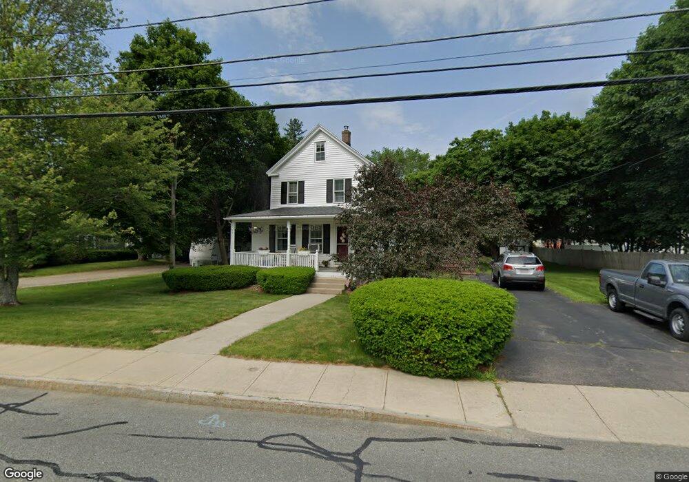
132 Branch St Mansfield, MA 02048
Estimated Value: $613,000 - $679,000
2
Beds
2
Baths
1,654
Sq Ft
$389/Sq Ft
Est. Value
About This Home
This home is located at 132 Branch St, Mansfield, MA 02048 and is currently estimated at $643,325, approximately $388 per square foot. 132 Branch St is a home located in Bristol County with nearby schools including Everett W. Robinson Elementary School, Jordan/Jackson Elementary School, and Harold L. Qualters Middle School.
Ownership History
Date
Name
Owned For
Owner Type
Purchase Details
Closed on
Jun 9, 1976
Bought by
Borroni Thomas and Borroni Elaine
Current Estimated Value
Create a Home Valuation Report for This Property
The Home Valuation Report is an in-depth analysis detailing your home's value as well as a comparison with similar homes in the area
Home Values in the Area
Average Home Value in this Area
Purchase History
| Date | Buyer | Sale Price | Title Company |
|---|---|---|---|
| Borroni Thomas | $30,300 | -- |
Source: Public Records
Mortgage History
| Date | Status | Borrower | Loan Amount |
|---|---|---|---|
| Open | Borroni Thomas | $50,000 | |
| Closed | Borroni Thomas | $25,000 | |
| Closed | Borroni Thomas | $103,000 |
Source: Public Records
Tax History Compared to Growth
Tax History
| Year | Tax Paid | Tax Assessment Tax Assessment Total Assessment is a certain percentage of the fair market value that is determined by local assessors to be the total taxable value of land and additions on the property. | Land | Improvement |
|---|---|---|---|---|
| 2025 | $6,793 | $515,800 | $229,600 | $286,200 |
| 2024 | $6,836 | $506,400 | $229,600 | $276,800 |
| 2023 | $6,594 | $468,000 | $229,600 | $238,400 |
| 2022 | $6,531 | $430,500 | $212,600 | $217,900 |
| 2021 | $22,288 | $385,800 | $186,000 | $199,800 |
| 2020 | $192 | $350,700 | $177,100 | $173,600 |
| 2019 | $5,234 | $343,900 | $147,600 | $196,300 |
| 2018 | $3,556 | $328,300 | $140,700 | $187,600 |
| 2017 | $4,817 | $320,700 | $136,600 | $184,100 |
| 2016 | $4,546 | $295,000 | $130,100 | $164,900 |
| 2015 | $4,357 | $281,100 | $130,100 | $151,000 |
Source: Public Records
Map
Nearby Homes
- 12 Wilson Place
- 21 East St Unit 1D
- 16 East St Unit 2
- 72 Court St Unit B
- 72 Court St Unit A
- 38 Court St
- 28 Court St
- 28 Court St Unit 4
- 76 Samoset Ave
- 99 Pleasant St
- 241-243 N Main St
- 14 School St
- 82 Brook St
- 150 Rumford Ave Unit 222
- 22 Pleasant St Unit B
- 22 Pleasant St Unit A
- 442 Ware St
- 460 Ware St
- 245 Willow St
- 34 Warren Ave