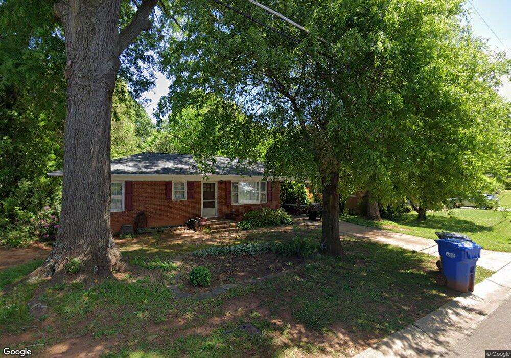
132 Brooks St Troutman, NC 28166
Estimated Value: $156,000 - $259,000
3
Beds
1
Bath
1,134
Sq Ft
$195/Sq Ft
Est. Value
About This Home
This home is located at 132 Brooks St, Troutman, NC 28166 and is currently estimated at $221,300, approximately $195 per square foot. 132 Brooks St is a home located in Iredell County with nearby schools including Troutman Elementary School, Troutman Middle School, and South Iredell High School.
Ownership History
Date
Name
Owned For
Owner Type
Purchase Details
Closed on
Mar 31, 2003
Sold by
Beall John Edward
Bought by
Mowrey Myrna Lou
Current Estimated Value
Home Financials for this Owner
Home Financials are based on the most recent Mortgage that was taken out on this home.
Original Mortgage
$64,990
Outstanding Balance
$28,063
Interest Rate
5.82%
Estimated Equity
$193,237
Purchase Details
Closed on
Jun 1, 1977
Purchase Details
Closed on
Jun 1, 1961
Create a Home Valuation Report for This Property
The Home Valuation Report is an in-depth analysis detailing your home's value as well as a comparison with similar homes in the area
Home Values in the Area
Average Home Value in this Area
Purchase History
| Date | Buyer | Sale Price | Title Company |
|---|---|---|---|
| Mowrey Myrna Lou | -- | -- | |
| Mowrey Myrna Lou | $67,000 | -- | |
| -- | -- | -- | |
| -- | $12,700 | -- |
Source: Public Records
Mortgage History
| Date | Status | Borrower | Loan Amount |
|---|---|---|---|
| Open | Mowrey Myrna Lou | $64,990 |
Source: Public Records
Tax History Compared to Growth
Tax History
| Year | Tax Paid | Tax Assessment Tax Assessment Total Assessment is a certain percentage of the fair market value that is determined by local assessors to be the total taxable value of land and additions on the property. | Land | Improvement |
|---|---|---|---|---|
| 2024 | $1,662 | $145,640 | $22,000 | $123,640 |
| 2023 | $1,662 | $145,640 | $22,000 | $123,640 |
| 2022 | $975 | $79,030 | $26,400 | $52,630 |
| 2021 | $963 | $79,030 | $26,400 | $52,630 |
| 2020 | $963 | $79,030 | $26,400 | $52,630 |
| 2019 | $943 | $79,030 | $26,400 | $52,630 |
| 2018 | $788 | $65,870 | $17,600 | $48,270 |
| 2017 | $788 | $65,870 | $17,600 | $48,270 |
| 2016 | $788 | $65,870 | $17,600 | $48,270 |
| 2015 | $755 | $65,870 | $17,600 | $48,270 |
| 2014 | $773 | $70,720 | $17,600 | $53,120 |
Source: Public Records
Map
Nearby Homes
- 156 Brooks St
- 310 E Church St
- 316 E Church St
- 210 Johnson St
- 164 N Eastway Dr
- 242 North Ave
- 0 Bradburn St Unit CAR4310045
- 101 S Sina St
- Dickenson Plan at Winecoff Village
- Crane Plan at Winecoff Village
- Frost Plan at Winecoff Village
- Whitman Plan at Winecoff Village
- 119 N Gibson St
- 454 N Eastway Dr
- 136 Arden Ct
- 146 Arden Ct
- 121 Rhuidean Ct
- 110 Callandor Ct
- 177 Rhuidean Ct
- 00 Zion Wesley Rd