132 Brownlee Cir Tifton, GA 31794
Estimated Value: $521,000 - $621,000
4
Beds
4
Baths
3,596
Sq Ft
$159/Sq Ft
Est. Value
About This Home
This home is located at 132 Brownlee Cir, Tifton, GA 31794 and is currently estimated at $571,778, approximately $159 per square foot. 132 Brownlee Cir is a home located in Tift County with nearby schools including Northside Primary School, Charles Spencer Elementary School, and J.T. Reddick School.
Ownership History
Date
Name
Owned For
Owner Type
Purchase Details
Closed on
Sep 21, 2023
Sold by
Patel Shantu N
Bought by
Nagin & Shantu Patel Trust
Current Estimated Value
Purchase Details
Closed on
Jan 23, 2007
Sold by
Patel Shantu N
Bought by
Patel Shantu N and Patel Nagin G
Purchase Details
Closed on
Jan 2, 2007
Sold by
Echols Jame F
Bought by
Patel Shantu N
Purchase Details
Closed on
Feb 13, 1997
Bought by
Echols James F
Create a Home Valuation Report for This Property
The Home Valuation Report is an in-depth analysis detailing your home's value as well as a comparison with similar homes in the area
Home Values in the Area
Average Home Value in this Area
Purchase History
| Date | Buyer | Sale Price | Title Company |
|---|---|---|---|
| Nagin & Shantu Patel Trust | -- | -- | |
| Patel Shantu N | -- | -- | |
| Patel Shantu N | $305,151 | -- | |
| Echols James F | $46,000 | -- |
Source: Public Records
Tax History Compared to Growth
Tax History
| Year | Tax Paid | Tax Assessment Tax Assessment Total Assessment is a certain percentage of the fair market value that is determined by local assessors to be the total taxable value of land and additions on the property. | Land | Improvement |
|---|---|---|---|---|
| 2024 | $5,405 | $229,978 | $14,950 | $215,028 |
| 2023 | $5,405 | $132,952 | $19,900 | $113,052 |
| 2022 | $3,887 | $132,952 | $19,900 | $113,052 |
| 2021 | $3,910 | $132,952 | $19,900 | $113,052 |
| 2020 | $3,985 | $132,952 | $19,900 | $113,052 |
| 2019 | $3,976 | $132,952 | $19,900 | $113,052 |
| 2018 | $4,211 | $140,879 | $19,900 | $120,979 |
| 2017 | $4,230 | $140,879 | $19,900 | $120,979 |
| 2016 | $4,235 | $140,879 | $19,900 | $120,979 |
| 2015 | $4,236 | $140,879 | $19,900 | $120,979 |
| 2014 | $4,245 | $140,879 | $19,900 | $120,979 |
| 2013 | -- | $140,879 | $19,900 | $120,979 |
Source: Public Records
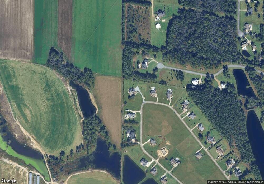
Map
Nearby Homes
- 126 Brownlee Cir
- 0 Brighton Rd
- 0 Belflower Rd Unit 24022932
- 0 Belflower Rd Unit 138547
- 0 Belflower Rd Unit 10554704
- Lot 3 Limerick Ln
- 2110 Old Ocilla Road New River Church Rd
- 0 E 46th St
- 913 E 46th St
- 903 42nd St E
- 0 44th St E
- 717 E 44th St
- 714 44th St E
- 4204 Lakeview Dr
- 346 Somers Ln
- 2612 Goff St
- 100 Long Pine Rd
- 2225 Meadowbrook Dr
- 87 Waterfront St Unit 9
- 87 Waterfront St
- 138 Brownlee Cir
- 68 Rose Ave
- 116 Brownlee Cir
- 146 Brownlee Cir
- 112 Brownlee Cir
- 47 Rose Ave
- 151 Brownlee Cir
- 62 Brownlee Crircle
- 104 Brownlee Cir
- 156 Brownlee Cir
- 518 Brighton Rd
- 165 Brownlee Cir
- 98 Brownlee Cir
- 92 Brownlee Cir
- 0 Rose Ave
- 168 Brownlee Cir
- 415 Belflower Rd
- 35 Rose Ave
- 174 Brownlee Cir
- 14 Carter Ln